Near Clay in Jefferson County, Alabama — The American South (East South Central)
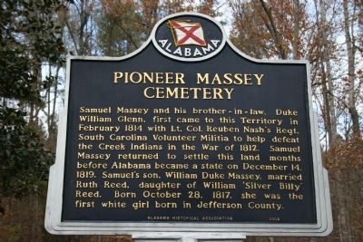
Pioneer Massey Cemetery
Photographed by Tim Carr, November 28, 2009
1. Pioneer Massey Cemetery Marker
Erected 2004 by Alabama Historical Association.
Topics and series. This historical marker is listed in these topic lists: Cemeteries & Burial Sites • Settlements & Settlers • War of 1812 • Wars, US Indian. In addition, it is included in the Alabama Historical Association series list. A significant historical month for this entry is February 1814.
Location. 33° 40.374′ N, 86° 32.952′ W. Marker is near Clay, Alabama, in Jefferson County. It can be reached from Advent Circle. Touch for map. Marker is in this post office area: Clay AL 35048, United States of America. Touch for directions.

Regionally, this marker is in the
this page online
Other nearby markers. At least 8 other markers are within 5 miles of this marker, measured as the crow flies: Wear Cemetery (approx. 3.3 miles away); The Clay Community (approx. 3.7 miles away); Clay Methodist Cemetery (approx. 3.7 miles away); 1936 Rock Bridge (approx. 4.2 miles away); The Cahaba Heart River of Alabama (approx. 4.2 miles away); Town of Margaret (approx. 4.3 miles away); Hewitt High School (approx. 4.4 miles away); Mount Calvary Cemetery (approx. 4.4 miles away). Touch for a list and map of all markers in Clay.
More about this marker. Traveling on Interstate 59 in either direction, north or south, exit at Deerfoot Parkway exit number 143, then turn left onto Deerfoot Parkway. South of the I-59 on/off ramps, turn left onto Happy
Photographed by Tim Carr, November 28, 2009
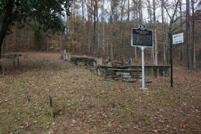
2. Pioneer Massey Cemetery & Marker
Photographed by Tim Carr, November 28, 2009
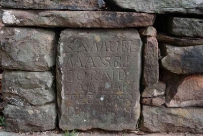
3. Samuel Massey's Gravestone 1793-1829
Photographed by Tim Carr, November 28, 2009
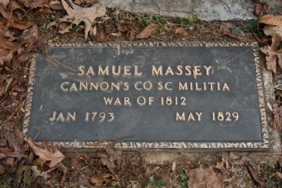
4. Samuel Massey's Military Marker
Photographed by Tim Carr, November 28, 2009
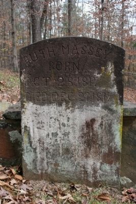
5. Ruth Massey's Gravestone (B) Oct 28, 1817 (D) Dec 27, 1872
Photographed by Tim Carr, November 28, 2009
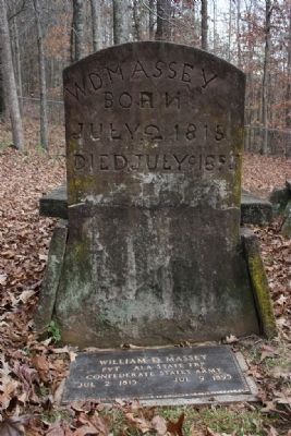
6. William D. Massey's Gravestone
Below is William D. Massey's Military Marker:
William D. Massey
Pvt Ala State TRP
Confederate States Army
Jul 2, 1815
Jul 9, 1895
Photographed by Tim Carr, November 28, 2009
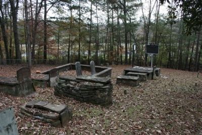
7. Pioneer Massey Cemetery
Photographed by Tim Carr, November 28, 2009
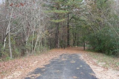
8. Entrance Road off Advent Circle.
Credits. This page was last revised on June 16, 2016. It was originally submitted on December 4, 2009, by Timothy Carr of Birmingham, Alabama. This page has been viewed 3,824 times since then and 107 times this year. Photos: 1, 2, 3, 4, 5, 6, 7, 8. submitted on December 4, 2009, by Timothy Carr of Birmingham, Alabama. • Kevin W. was the editor who published this page.
