Charlestown in Montgomery in Montgomery County, Alabama — The American South (East South Central)
Charlestown Community
Montgomery County

Photographed by Mark Hilton, February 10, 2025
1. Charlestown Community Marker
Sponsored by the Charlestown Community Association
Erected 2024 by Alabama Historical Commission, Charlestown Community Association and Black Heritage Council.
Topics. This historical marker is listed in these topic lists: African Americans • Civil Rights • Railroads & Streetcars. A significant historical year for this entry is 1886.
Location. 32° 23.974′ N, 86° 17.391′ W. Marker is in Montgomery, Alabama, in Montgomery County. It is in Charlestown.
this page online

Regionally, this marker is in Alabama’s Tri-Counties River Region. It is also in the American South, specifically in the Deep South, and in the Black Belt. Globally, it is in North America, a Gulf of Mexico state, the Western Hemisphere, the Western World, and the Anglosphere. Historically, it finds itself in what was once the territory of the Mississippian Culture, one of the Confederate States of America, and the Antebellum South.
Other nearby markers. At least 8 other markers are within 2 miles of this marker, measured as the crow flies: Militaires Francais Decedes Aux Etats-Unis Au Cours de la Guerre 1939-1945 (approx. one mile away); Claudette Colvin Home (approx. one mile away); Royal Air Force Burial Ground (approx. one mile away); Burial Site of Royal Air Force Trainee Pilots (approx. one mile away); King Hill Historic District (approx. one mile
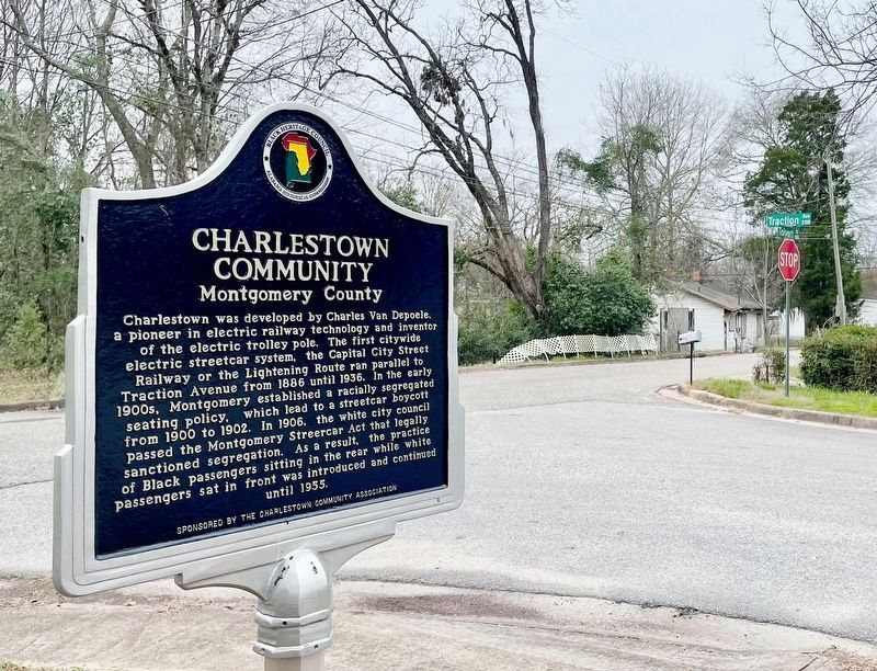
Photographed by Mark Hilton, February 10, 2025
2. Charlestown Community Marker
At intersection of Traction Ave & Tolvert St.
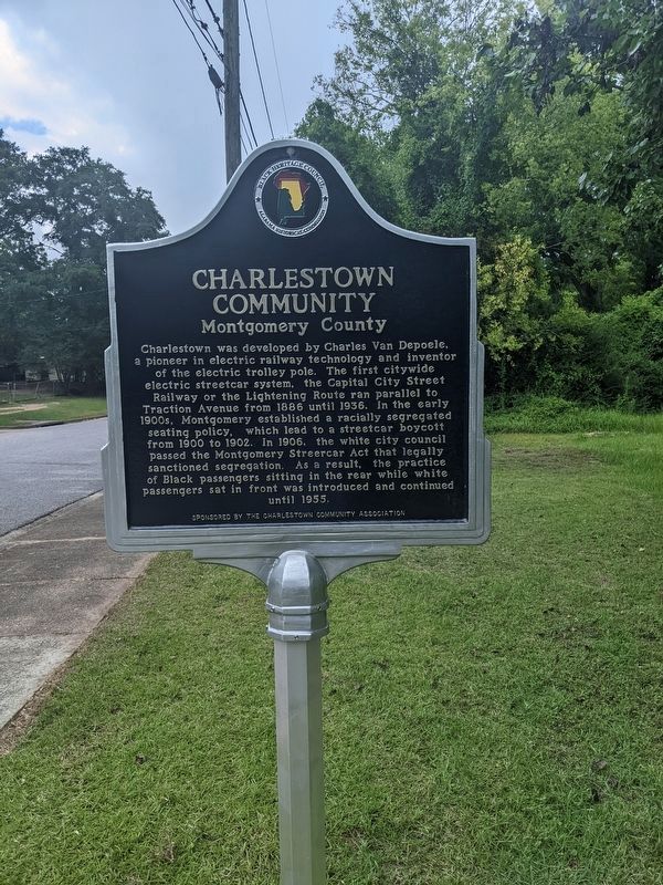
Photographed by Shaun Rose, June 29, 2024
3. Charlestown Community Marker

Photographed by Shaun Rose, July 1, 2024
4. Charlestown Community Marker
Credits. This page was last revised on February 10, 2025. It was originally submitted on July 11, 2024, by Shaun Rose of Montgomery, Alabama. This page has been viewed 757 times since then and 76 times this year. Photos: 1, 2. submitted on February 10, 2025, by Mark Hilton of Montgomery, Alabama. 3, 4. submitted on July 11, 2024, by Shaun Rose of Montgomery, Alabama. • James Hulse was the editor who published this page.
