High Rolls in Otero County, New Mexico — The American Mountains (Southwest)
Fresnal Shelter: a Prehistoric Campsite
Photographed by James Hulse, June 25, 2024
1. Fresnal Shelter: a Prehistoric Campsite Marker
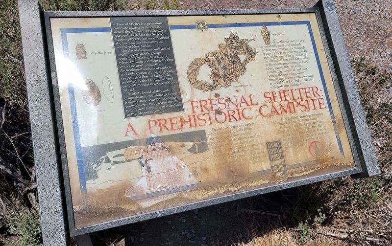
Fresnal Shelter is a prehistoric campsite located in the cliff face across the canyon. This site was a seasonal shelter for the Archaic hunter-gatherers that once inhabited the Sacramento Mountains of southern New Mexico.
The Archaic culture consisted of small, highly mobile groups continually moving to locations where hunting and plant gathering would be most productive. Archeological analysis of artifacts and radiocarbon dating of charcoal suggest that Fresnal Shelter was occupied in the late summer and early fall months between 6000 and 500 В.С.
Artifacts found at this early campsite included stone tools and basketry fragments but no pottery; ceramics were not used in this region until hundreds of years later in the Mogollon culture.
Fresnal Shelter was an excellent place to camp. The south-facing overhang would have provided protection from the elements and best exposure to the sun during cold periods. Fresnal Creek is a permanent water source which supports many local plants and animals which could have been exploited such as piñon and jun.... sotel, cacti, mesquite...
Since the rock shelter
this page online
Once disturbed, archeological remains cannot be replaced. Please do not excavate in historic or prehistoric sites, and do not collect artifacts from the surface. Leave them for others to enjoy, and for future archeologists to study to help fit to together more parts of the prehistoric puzzle.
Captions
Projectile Point • Biface • Sandel Fragments • Projectile Point • Site Map
Erected by U.S. Forest Service and Lincoln National Forest Window on the Past.
Topics. This historical marker is listed in these topic lists: Anthropology & Archaeology • Indigenous Peoples and Communities.
Location. 32° 56.776′ N, 105° 51.6′ W.
Photographed by James Hulse, June 25, 2024
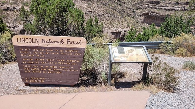
2. Fresnal Shelter: a Prehistoric Campsite Marker

Regionally, this marker is in the Pecos Valley. It is also in the American Borderlands and in the Southwest. Globally, it is in North America, the Western Hemisphere, the Western World, and the Anglosphere. Historically, it finds itself in what was once New Spain, the Comanchería, and the Republic of Texas.
Other nearby markers. At least 8 other markers are within 4 miles of this marker, measured as the crow flies: Daisy Track (approx. 3.9 miles away); Daisy Track Waterbrake (approx. 3.9 miles away); Thor Engine with Cradle/Transporter (approx. 3.9 miles away); F-117A "Nighthawk" Ingress/Egress Trainer (approx. 3.9 miles away); H-1 Rocket Engine (approx. 3.9 miles away); X-8C Aerobee (approx. 3.9 miles away); Apollo Command Module Boilerplate S/N 1207 (approx.
Photographed by James Hulse, June 25, 2024
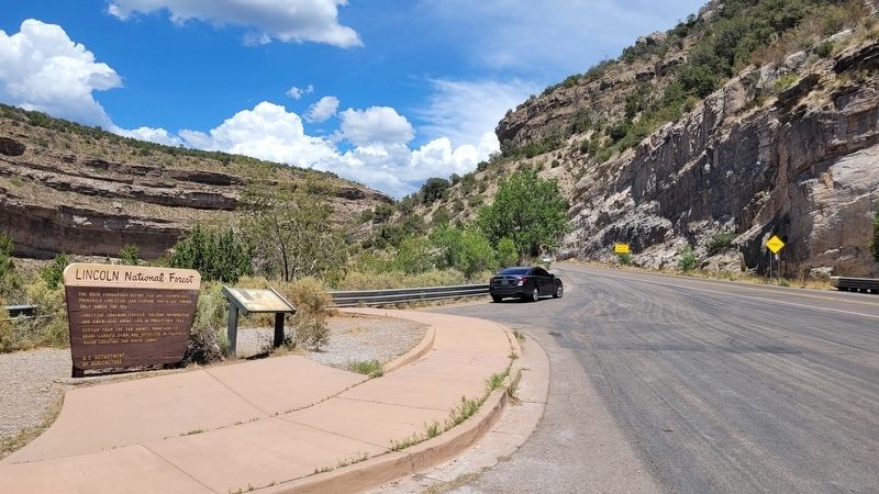
3. The view of the Fresnal Shelter: a Prehistoric Campsite Marker along the highway
Photographed by James Hulse, June 25, 2024
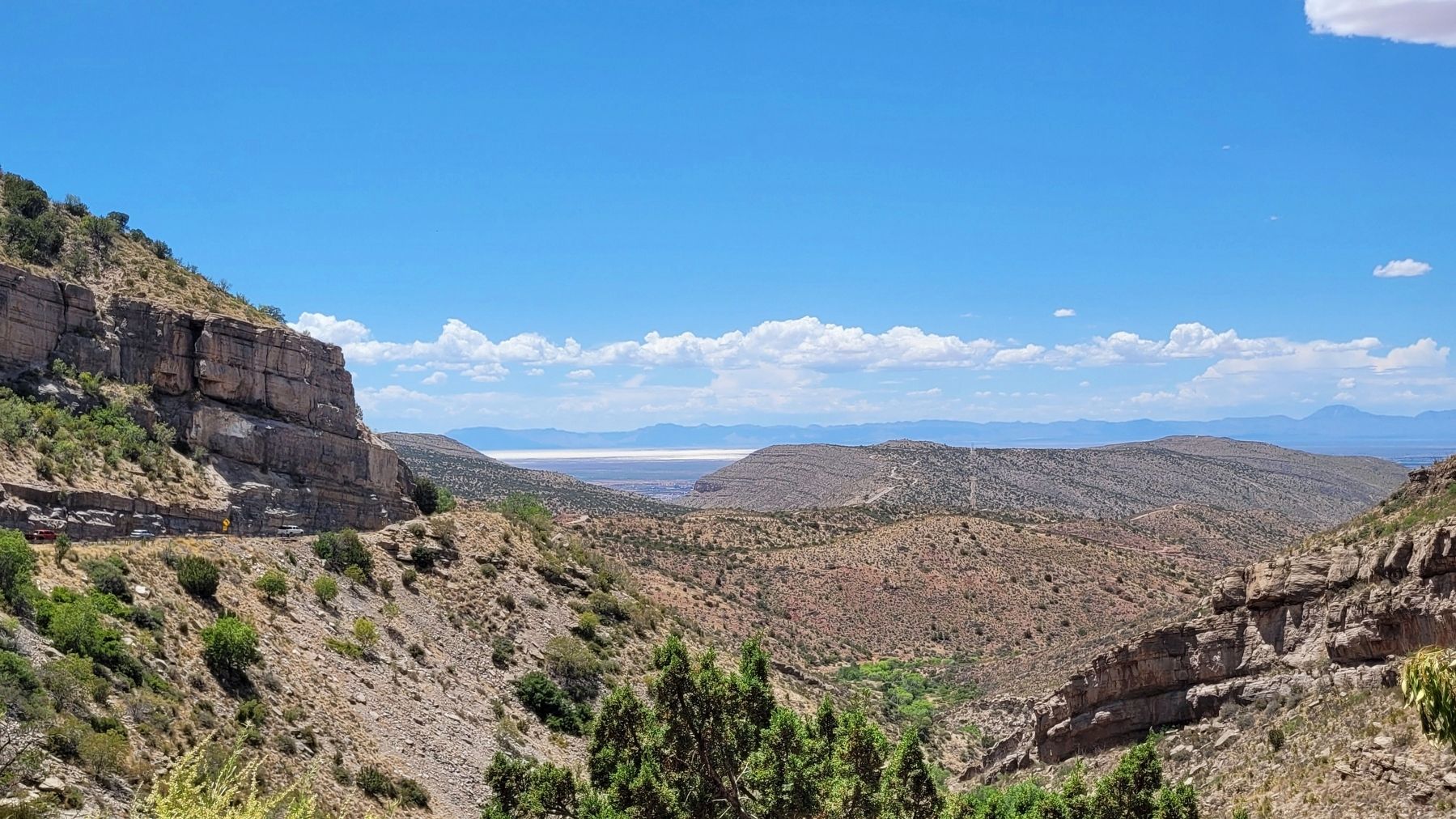
4. The view of Whites Sands in the distance from the marker
Credits. This page was last revised on November 8, 2024. It was originally submitted on July 12, 2024, by James Hulse of Medina, Texas. This page has been viewed 1,556 times since then and 226 times this year. Photos: 1, 2, 3, 4. submitted on July 12, 2024, by James Hulse of Medina, Texas.
