
Edgewood in Cranston in Providence County, Rhode Island — The American Northeast (New England)
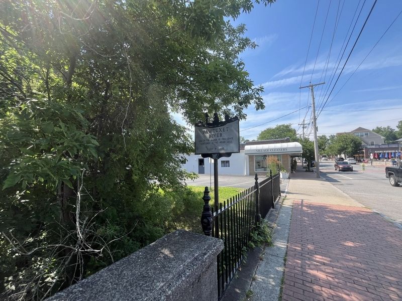
Pawtuxet River

Erected by Colonial Dames of Rhode Island.
Topics and series. This historical marker is listed in these topic lists: Colonial Era • Political Subdivisions • Settlements & Settlers • Waterways & Vessels. In addition, it is included in the The Colonial Dames of America series list. A significant historical date for this entry is March 24, 1638.
Location. 41° 45.883′ N, 71° 23.44′ W. Marker is in Cranston, Rhode Island, in Providence County. It is in Edgewood. It is at the intersection of Broad Street and Bridge Street, on the left when traveling north on Broad Street. Touch for map. Marker is at or near this postal address: 25 Bridge St, Providence RI 02905, United States of America. Touch for directions.

Regionally, this marker is in Greater Providence and on Narragansett Bay. It is also in the American Northeast, in New England, and on the Eastern Seaboard. Globally, it is in the North Atlantic Region, North America, the Western Hemisphere, the Western World, and the Anglosphere. Historically, it finds itself in what was
this page online
Other nearby markers. At least 8 other markers are within 2 miles of this marker, measured as the crow flies: Gaspee Monument (about 600 feet away, measured in a direct line); Pawtuxet Baptist Church (about 600 feet away); Volunteer Fire Company (about 700 feet away); Liberty Tree Memorial (approx. 0.2 miles away); Aspray Boat House (approx. 0.2 miles away); Geo. Vose House (approx. ¾ mile away); Veterans Memorial (approx. 0.9 miles away); Roll of Honor (approx. 1½ miles away). Touch for a list and map of all markers in Cranston.
Credits. This page was last revised on July 13, 2024. It was originally submitted on July 13, 2024, by Devry Becker Jones of Washington, District of Columbia. This page has been viewed 183 times since then and 13 times this year. Photos: 1, 2. submitted on July 13, 2024, by Devry Becker Jones of Washington, District of Columbia.
