
Fremont in Dodge County, Nebraska — The American Midwest (Upper Plains)
The Great Platte River Route West
Photographed by Mark Parker, June 26, 2024
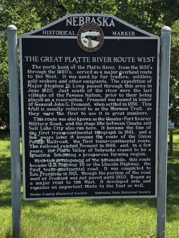
1. The Great Platte River Route West Marker
The north bank of the Platte River, from the 1830's through the 1860's, served as a major overland route to the West. It was used by fur traders, soldiers, gold seekers and other emigrants. The expedition of Major Stephen H. Long passed through this area in June 1820. Just south of the river were the last villages of the Pawnee Nation, prior to their being placed on a reservation. Fremont was named in honor of General John G. Fremont, when settled in 1856. This trail is usually referred to as the Mormon Trail, as they were the first to use it in great numbers.
This route was also known as the Omaha-Fort Kearny Military Road, and the stage line between Omaha and Salt Lake City also ran here. It became the line of the first transcontinental telegraph in 1861, and a few years later it became the route of the Union Pacific Railroad, the first trans-continental route. The railroad reached Fremont in 1866, and, in a few years, the Platte Valley of Nebraska ceased to be a frontier becoming a prosperous farming region.
With the development of the automobile, this route became U.S. Highway 30 or the Lincoln Highway, the
this page online
Erected by Dodge County Historical Society, Nebraska State Historical Society.
Topics and series. This historical marker is listed in these topic lists: Indigenous Peoples and Communities • Railroads & Streetcars • Roads & Vehicles • Settlements & Settlers. In addition, it is included in the Nebraska State Historical Society series list. A significant historical year for this entry is 1820.
Location. 41° 27.073′ N, 96° 34.08′ W. Marker is in Fremont, Nebraska, in Dodge County. It is at the intersection of West Old Highway 30 and Puttle Huttle Road on West Old Highway 30. Touch for map. Marker is at or near this postal address: 5776 W Old Hwy 30, Fremont NE 68025, United States of America. Touch for directions.

Regionally, this marker is in Eastern Nebraska and in Greater Omaha. It is also in the American Midwest, in the Corn Belt, and on the prairies. Globally,

Photographed by Mark Parker, June 26, 2024
2. The Great Platte River Route West Marker and surroundings
Other nearby markers. At least 8 other markers are within 5 miles of this marker, measured as the crow flies: Overland Trail (approx. 2.4 miles away); Hotel Pathfinder (approx. 3.8 miles away); Dodge County Veterans Memorial (approx. 3.8 miles away); Fremont, Nebraska (approx. 3.9 miles away); Fremont's First City-Owned Parking Lot (approx. 3.9 miles away); Union Depot (approx. 3.9 miles away); Mormon Pioneer Trail (approx. 4.2 miles away); Old Indian Trail (approx. 4.8 miles away). Touch for a list and map of all markers in Fremont.
Another marker is no longer nearby. Overland Emigrant Trails (was approx. 3.9 miles away but has been permanently removed).
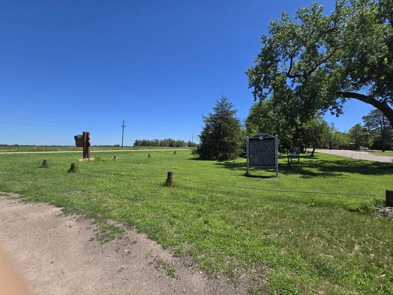
More about this marker. The marker is to the east of the entrance road to the Fremont State Recreation Area.

Photographed by Mark Parker, June 26, 2024
3. Fremont State Recreation Area entrance sign near marker
Photographed by Mark Parker, June 26, 2024
4. Marker and entrance sign looking from park entrance road towards Old US Highway 30
Credits. This page was last revised on July 21, 2024. It was originally submitted on July 14, 2024, by Mark Parker of Hickory, North Carolina. This page has been viewed 379 times since then and 43 times this year. Photos: 1, 2, 3, 4. submitted on July 14, 2024, by Mark Parker of Hickory, North Carolina. • J. Makali Bruton was the editor who published this page.
