The Acre in Lowell in Middlesex County, Massachusetts — The American Northeast (New England)
Around the Falls
Photographed by Marc Posner, June 1, 2024
1. Around the Falls Marker
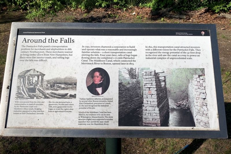
The Pawtucket Falls posed a transportation problem for merchants and shipbuilders in 18th century Newburyport. These merchants wanted to bring timber down from New Hampshire, but there were few interior roads, and rafting logs over the falls was difficult.
In 1792, investors chartered a corporation to build and operate what was a reasonable and increasingly familiar solution - a short transportation canal skirting the falls. Four years later, rafts of logs began flowing down the completed 1 1/2 mile Pawtucket Canal. The Middlesex Canal, which connected the Merrimack River to Boston, opened later in 1803.
In 1821, this transportation canal attracted investors with a different vision for the Pawtucket Falls. They recognized the energy potential of the 32-foot drop in the river and saw the canal as a way to power an industrial complex of scale.
( photo captions )
— With waterpower from the river and transportation to markets provided by the Pawtucket (1796) and Middlesex(1803) canals, fledgling industries appeared in what was then known as East Chelmsford. Sawmills like the one pictured here, a glassworks, woolen
this page online
— Nathan Appleton (above) accompanied by several other Boston investors, visited East Chelmsford, precursor to Lowell, in 1821 and recognized the industrial potential of the site.
— Much of the Middlesex Canal has been filled in, but evidence of it can be seen in Wilmington, Massachusetts. The stone structure (right)once supported a wooden aqueduct that carried the man-made waterway over the Shawsheen River.
Erected by National Park Service.
Topics. This historical marker is listed in this topic list: Waterways & Vessels. A significant historical year for this entry is 1792.
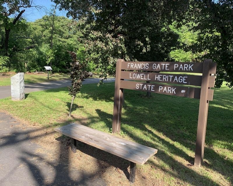
Location. 42° 38.796′ N, 71° 19.91′ W. Marker is in Lowell, Massachusetts, in Middlesex County. It is in The Acre. It is on Pawtucket Street north of Walker Street, on the right when traveling north. Located in Francis Gate Park Lowell Heritage State Park. Touch for map. Marker is in this post office area: Lowell MA 01854, United States of America. Touch for directions.

Regionally, this marker is in Greater Boston and in the Merrimack Valley. It is
Photographed by Marc Posner, June 1, 2024
2. Francis Gate Park Lowell Heritage State Park
Other nearby markers. At least 8 other markers are within walking distance of this marker: Pawtucket Canal (here, next to this marker); Working the Water (approx. 0.2 miles away); The Great Gate (approx. ¼ mile away); "Francis’ Folly" (approx. ¼ mile away); Suffolk Mill (approx. 0.8 miles away); Blending Old and New (approx. 0.8 miles away); Keepers of the Gate (approx. 0.8 miles away); Stele for the Merrimack (approx. 0.8 miles away). Touch for a list and map of all markers in Lowell.
Credits. This page was last revised on July 18, 2024. It was originally submitted on July 14, 2024, by Marc Posner of Somerville, Massachusetts. This page has been viewed 195 times since then and 26 times this year. Photos: 1, 2. submitted on July 14, 2024, by Marc Posner of Somerville, Massachusetts. • Michael Herrick was the editor who published this page.
