Near Milton in Rock County, Wisconsin — The American Midwest (Great Lakes)
"Nothing to be seen… but immense prairies…,
Photographed by McGhiever, July 4, 2024
1. "Nothing to be seen... but immense prairies..., Marker
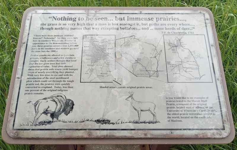
the grass is so very high that a man is lost amongst it, but paths are every where…, though nothing passes that way excepting buffaloes… and … some herds of deer…"
P.F. de Charlevoix, 1761
Where were these immense prairies? Kansas? Nebraska? No, they were right here in southern Wisconsin. Similar in appearance to the demonstration before you, these prairies covered over 2,100,000 acres in the southern and western parts of the state into the 1800,s [sic].
Prairie conditions allowed only certain grasses, wildflowers and a few shrubs to prosper. Early settlers thought that land that did not grow trees had little agricultural value. Trial plots showed them that prairie soils would yield bumper crops of nearly everything they planted. With very few trees to cut and with the introduction of the steel moldboard plow which could cut through the tough prairie sod, the prairies were quickly converted to cropland. Today, less than one percent of the original tallgrass prairie remains.
[Map]
Shaded areas indicate original prairie areas.
If you would like to see example of prairies travel to the Muralt Bluff Prairie, a
this page online
Erected by Wisconsin Department of Natural Resources.
Topics. This historical marker is listed in these topic lists: Agriculture • Environment. A significant historical year for this entry is 1761.
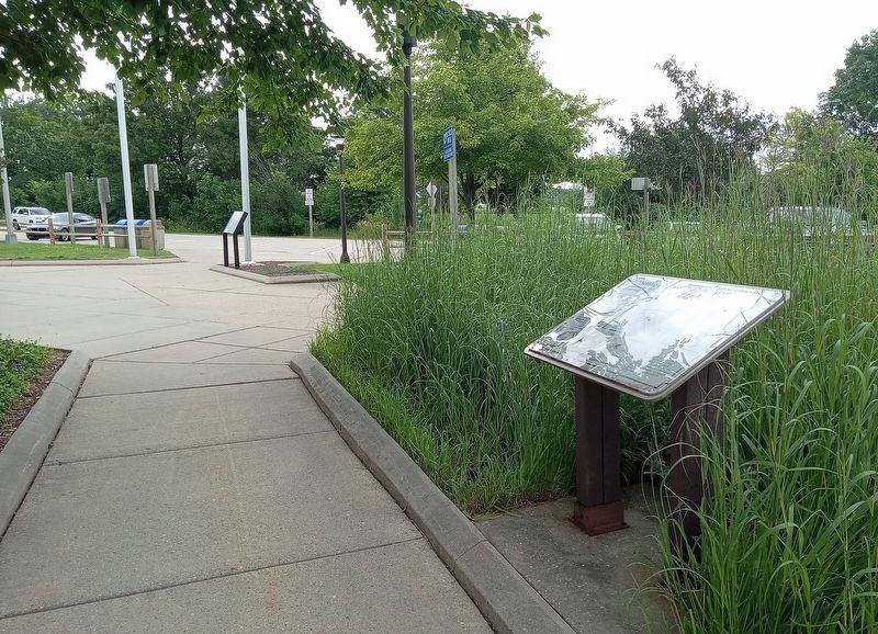
Location. 42° 46.111′ N, 89° 0.407′ W. Marker is near Milton, Wisconsin, in Rock County. It can be reached from Interstate 90, on the right when traveling south. The marker is at Rest Area 17 on southbound I-39/eastbound I-90. Touch for map. Marker is in this post office area: Milton WI 53563, United States of America. Touch for directions.

Regionally, this marker is in Southeast Wisconsin and in Greater Madison. It is also in the American Midwest and in the Corn Belt. Globally, it is in North America, the Western Hemisphere, the Western World, and the Anglosphere. Historically, it finds itself in what was once the territory of the Mississippian Culture and also the Northwest Territory.
Other nearby markers. At least 8 other
Photographed by McGhiever, July 4, 2024
2. "Nothing to be seen… but immense prairies…, Marker at Rest Area 17
Credits. This page was last revised on July 14, 2024. It was originally submitted on July 14, 2024, by McGhiever of Minneapolis, Minnesota. This page has been viewed 190 times since then and 14 times this year. Photos: 1, 2. submitted on July 14, 2024, by McGhiever of Minneapolis, Minnesota.
