Clearfield in Clearfield County, Pennsylvania — The American Northeast (Mid-Atlantic)
West Branch Eel & Shad Migration
Photographed by William Fischer, Jr., July 12, 2024
1. West Branch Eel & Shad Migration Marker
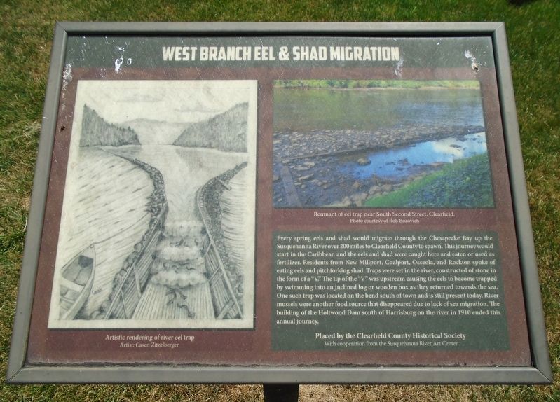
Every spring eels and shad would migrate through the Chesapeake Bay up the Susquehanna River over 200 miles to Clearfield County to spawn. This journey would start in the Caribbean and the eels and shad were caught here and eaten or used as fertilizer. Residents from New Millport, Coalport, Osceola, and Rockton spoke of eating eels and pitchforking shad. Traps were set in the river, constructed of stone in the form of a "V." The tip of the "V" was upstream causing the eels to become trapped by swimming into an inclined log or wooden box as they returned towards the sea. One such trap was located on the bend south of town and is still present today. River mussels were another food source that disappeared due to lack of sea migration. The building of the Holtwood Dam south of Harrisburg on the river in 1910 ended this annual journey.
[Illustration captions, left to right, read]
• Artist rendering of river eel trap
• Remnant of eel trap near South Second Street, Clearfield.
Erected by Clearfield County Historical Society and the Susquehanna River Art Center.
Topics. This historical marker is listed
this page online
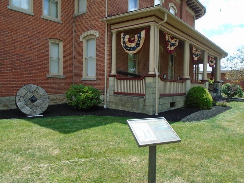
Location. 41° 1.48′ N, 78° 26.368′ W. Marker is in Clearfield, Pennsylvania, in Clearfield County. It is at the intersection of Front Street (Pennsylvania Route 153) and Pine Street, on the left when traveling south on Front Street. Marker is on the Clearfield County Historical Society grounds. Touch for map. Marker is at or near this postal address: 104 East Pine Street, Clearfield PA 16830, United States of America. Touch for directions.

Regionally, this marker is in the Pennsylvania Wilds. It is also in the American Northeast, in the Mid-Atlantic, in Appalachia, and specifically in Northern Appalachia. Globally, it is in North America, the Western Hemisphere, the Western World, and the Anglosphere. Historically, it finds itself in what was once the Haudenosaunee (Iroquois) Confederacy and also one of the original Thirteen Colonies.
Other nearby markers. At least 8 other markers are within walking distance of this marker: Cast of Trunk from Prehistoric Tree
Photographed by William Fischer, Jr., July 12, 2024
2. West Branch Eel & Shad Migration Marker
Also see . . . Eels in the Susquehanna: A surprising success story (Bay Journal, 2021). (Submitted on July 14, 2024, by William Fischer, Jr. of Reynoldsburg, Ohio.)
Credits. This page was last revised on July 14, 2024. It was originally submitted on July 14, 2024, by William Fischer, Jr. of Reynoldsburg, Ohio. This page has been viewed 215 times since then and 21 times this year. Photos: 1, 2. submitted on July 14, 2024, by William Fischer, Jr. of Reynoldsburg, Ohio.
