
Northwest in Virginia Beach, Virginia — The American South (Mid-Atlantic)
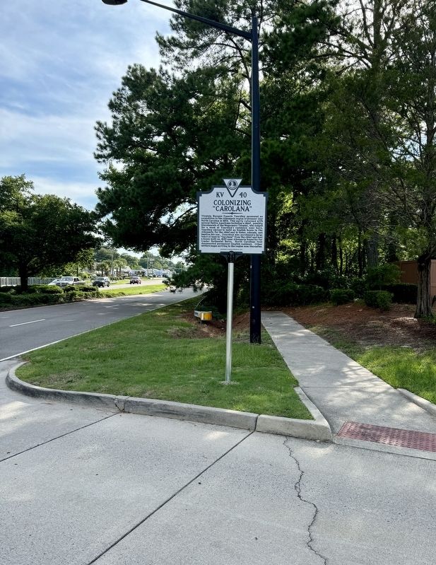
Colonizing “Carolana”

Photographed by Brandon D Cross
1. Colonizing “Carolana” Marker
Erected 2023 by Department of Historic Resources. (Marker Number KV-40.)
Topics. This historical marker is listed in these topic lists: Colonial Era • Indigenous Peoples and Communities • Settlements & Settlers. A significant historical year for this entry is 1653.
Location. 36° 54.331′ N, 76° 7.263′ W. Marker is in Virginia Beach, Virginia. It is in Northwest. It is on Shore Drive (U.S. 60) west of Treasure Island Drive, on
this page online

Regionally, this marker is in Virginia’s Hampton Roads, specifically in Coastal Virginia, and in the Hampton Roads Metropolitan Area. It is also in the American South, specifically in the Upper South, in the Tidewater, and on the Eastern Seaboard. Globally, it is in the North Atlantic Region, North America, the Western Hemisphere, the Western World, and the Anglosphere. Historically, it finds itself in what was once the territory of the Mississippian Culture, one of the original Thirteen Colonies, one of the Confederate States of America, and the Antebellum South.
Other nearby markers. At least 8 other markers are within 2 miles of this marker, measured as the crow flies: Adam Thorowgood (within shouting distance of this marker); Protecting Our Waterways and Wildlife (approx. 0.7 miles away); Church Point (approx. 0.9 miles away); Thorowgoods in the Revolution
Photographed by Brandon D Cross
2. Colonizing “Carolana” Marker
Also see . . . New Virginia Historical Marker Acknowledges Efforts to Extend English Settlement into Northeast Nort. (Submitted on July 14, 2024, by Brandon D Cross of Flagler Beach, Florida.)
Credits. This page was last revised on June 20, 2025. It was originally submitted on July 14, 2024, by Brandon D Cross of Flagler Beach, Florida. This page has been viewed 529 times since then and 66 times this year. Photos: 1, 2. submitted on July 14, 2024, by Brandon D Cross of Flagler Beach, Florida. • Bernard Fisher was the editor who published this page.
