Rulo in Richardson County, Nebraska — The American Midwest (Upper Plains)
Lewis and Clark Campsite
July 13, 1804
Photographed by Mark Hilton, July 11, 2024
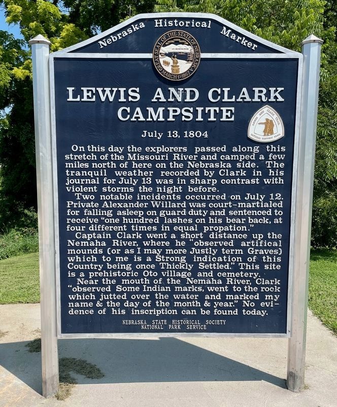
1. Lewis and Clark Campsite Marker
On this day the explorers passed along this stretch of the Missouri River and camped a few miles north of here on the Nebraska side. The tranquil weather recorded by Clark in his journal for July 13 was in sharp contrast with violent storms the night before.
Two notable incidents occurred on July 12. Private Alexander Willard was court-martialed for falling asleep on guard duty and sentenced to receive “one hundred lashes on his bear back, at four different times in equal propation.” Captain Clark went a short distance up the Nemaha River, where he “observed artifical mounds (or as I may more Justly term Graves) which to me is a Strong indication of this Country being once Thickly Settled.” This site is a prehistoric Oto village and cemetery.
Near the mouth of the Nemaha River, Clark “observed Some Indian marks, went to the rock which jutted over the water and marked my name & the day of the month and year.” No evidence of his inscription can be found today.
Erected by Nebraska State Historical Society, National Park Service. (Marker Number 337.)
Topics and series. This historical marker is listed in these
this page online
Location. 40° 3.094′ N, 95° 25.596′ W. Marker is in Rulo, Nebraska, in Richardson County. It is on 1st Street south of Stutsman Street (U.S. 159), on the left when traveling south. Touch for map. Marker is at or near this postal address: 87 1st St, Rulo NE 68431, United States of America. Touch for directions.

Regionally, this marker is in Eastern Nebraska. It is also in the American Midwest, in the Lewis & Clark Corridor, in the Corn Belt, and on the prairies. Globally, it is in North America, the Western Hemisphere, the Western World, and the Anglosphere. Historically, it finds itself in what was once the Louisiana Purchase.
Other nearby markers. At least 8 other markers are within 7 miles of this marker, measured as the crow flies: Missouri River (here, next to this marker); Lewis and Clark (within shouting distance of this marker); The Lewis and Clark Expedition Across Missouri
Photographed by Mark Hilton, July 11, 2024
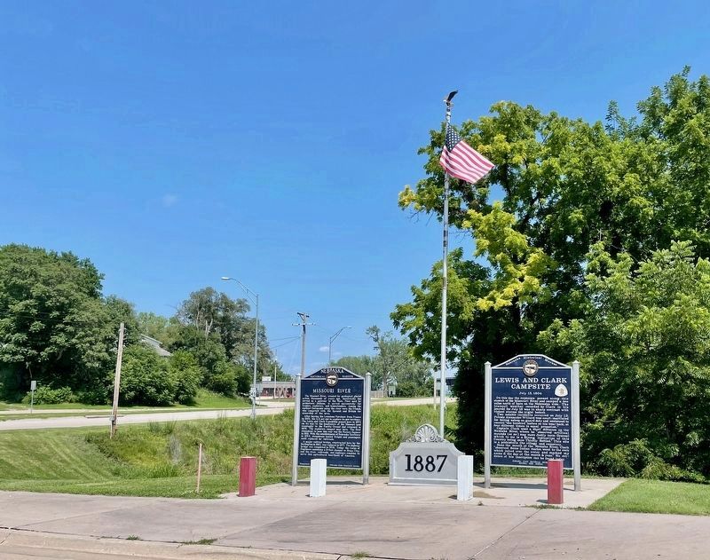
2. Lewis and Clark Campsite Marker on right
Also see . . . Journals of the Lewis & Clark Expedition - July 13th, 1804. (Submitted on July 15, 2024, by Mark Hilton of Montgomery, Alabama.)
Photographed by Mark Hilton, July 11, 2024
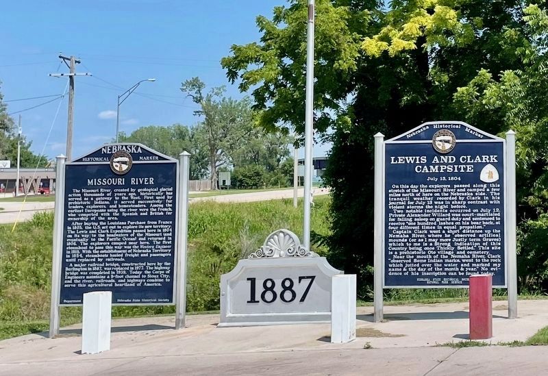
3. Lewis and Clark Campsite Marker
Photographed by Mark Hilton
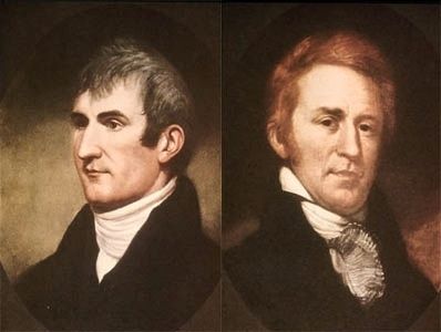
4. Captain Meriwether Lewis & Second Lieutenant William Clark.
Credits. This page was last revised on July 16, 2024. It was originally submitted on July 15, 2024, by Mark Hilton of Montgomery, Alabama. This page has been viewed 229 times since then and 40 times this year. Photos: 1, 2, 3, 4. submitted on July 15, 2024, by Mark Hilton of Montgomery, Alabama.
