Upper South Providence in Providence County, Rhode Island — The American Northeast (New England)
Manchester Street Station
⎯⎯⎯
The Providence River
Photographed by Devry Becker Jones (CC0), July 10, 2024
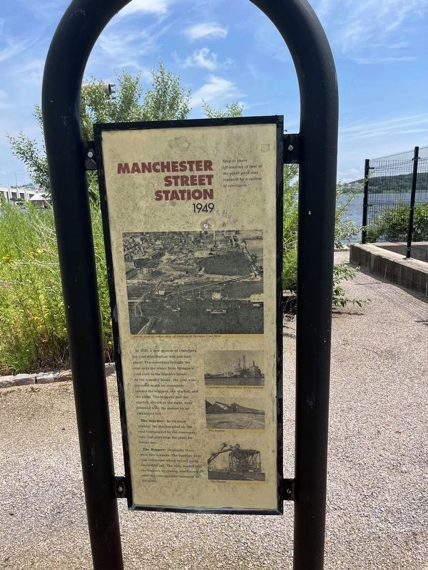
1. Manchester Street Station side of the marker
Manchester Street Station
1949
Ship to shore off-loading of coal at the plant yard was replaced by a system of conveyors.
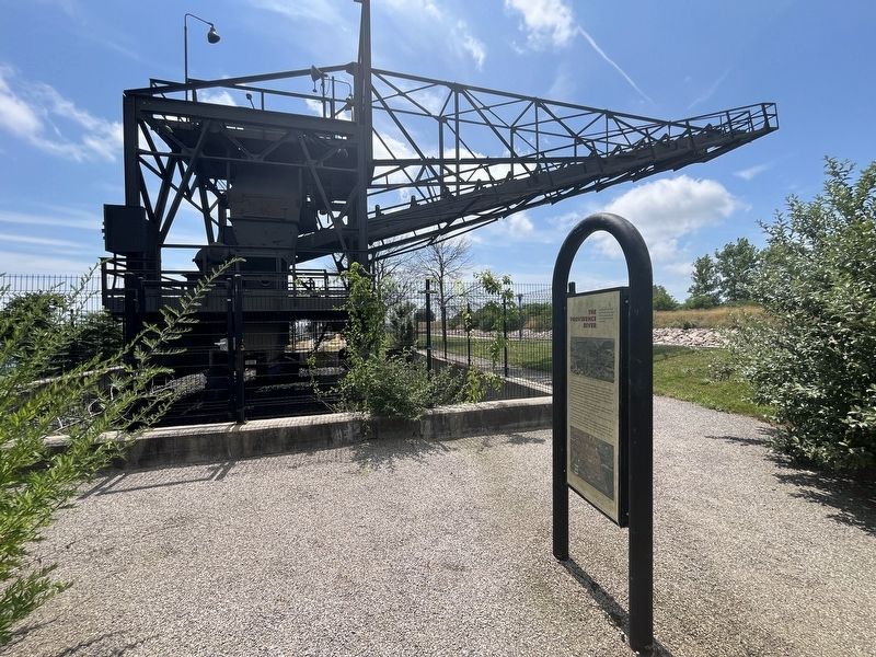
In 1949, a new system of conveyers for coal distribution was put into place. The conveyers brought the coal over the water from Sprague's coal yard to the transfer house. At the transfer house, the coal was rerouted north on conveyers toward the hoppers, the stacker, and the plant. The hoppers and the stacker, shown to the right, were powered from the station by an electrified rail.
The Stacker: As its name implies, the stacker piled up the coal transported by the conveyors into coal piles near the plant for future use.
The Hopper: Originally there were two hoppers. The hoppers were coal collectors which moved on an electrified rail. The coal, loaded into the hoppers by cranes, was tunneled onto the conveyors for transport to the plant.
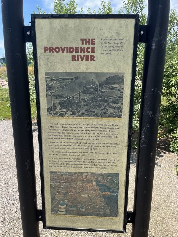
The Providence River
Expansion continued on the Providence River in the strong postwar economy of the 1950's and 1960's.
The coal conveyor system, which was put into place in the later 1940's at Manchester Street Station, was extended from the breaker
this page online
Construction of an oil unloading wharf, storage tanks, and hose handling tower were underway by 1951. As the use of oil became more prevalent in the sixties, coal was relegated to a back-up fuel.
The sixties also brought two new faces to the Providence River: The Fox Point Hurricane Barrier and I-195.
In 1995, more than 40 years later, the conveyer from Manchester Street to South Street Station came down. Its demolition, along with the 1996 demolition of the 2000-pound house, made way for Point Street Landing, the riverfront park north and south of the Point Street Bridge.
Topics. This historical marker is listed in these topic lists: Industry & Commerce • Roads & Vehicles • Waterways & Vessels. A significant historical year for this entry is 1949.
Location. 41° 48.838′ N, 71° 24.156′ W. Marker is in Providence, Rhode Island, in Providence

Regionally, this marker is on Narragansett Bay. It is also in the American Northeast, in New England, and on the Eastern Seaboard. Globally, it is in the North Atlantic Region, North America, the Western Hemisphere, the Western World, and the Anglosphere. Historically, it finds itself in what was once one of the original Thirteen Colonies.
Other nearby markers. At least 8 other markers are within walking distance of this marker: Manchester Street Station (about 300 feet away, measured in a direct line); The Fox Point Hurricane Barrier / From Oil to Gas (about 400 feet away); Collier Point Park / South Street Station (about 700 feet away); Providence River Bridge (approx. 0.2 miles away); Providence River Park (approx. 0.2 miles away); Colonial Wharf at South Water Street: 1910-1942 / Fox Point and the Night Boat Era 1822-1932 (approx. 0.2
Photographed by Devry Becker Jones (CC0), July 10, 2024
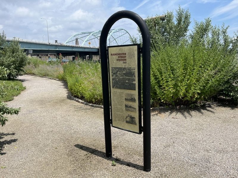
3. Manchester Street Station / The Providence River Marker
Photographed by Devry Becker Jones (CC0), July 10, 2024
4. Manchester Street Station / The Providence River Marker
Credits. This page was last revised on July 16, 2024. It was originally submitted on July 16, 2024, by Devry Becker Jones of Washington, District of Columbia. This page has been viewed 141 times since then and 12 times this year. Photos: 1, 2, 3, 4. submitted on July 16, 2024, by Devry Becker Jones of Washington, District of Columbia.
