Point Judith in Narragansett in Washington County, Rhode Island — The American Northeast (New England)
A Model of Innovation
1948 - 76
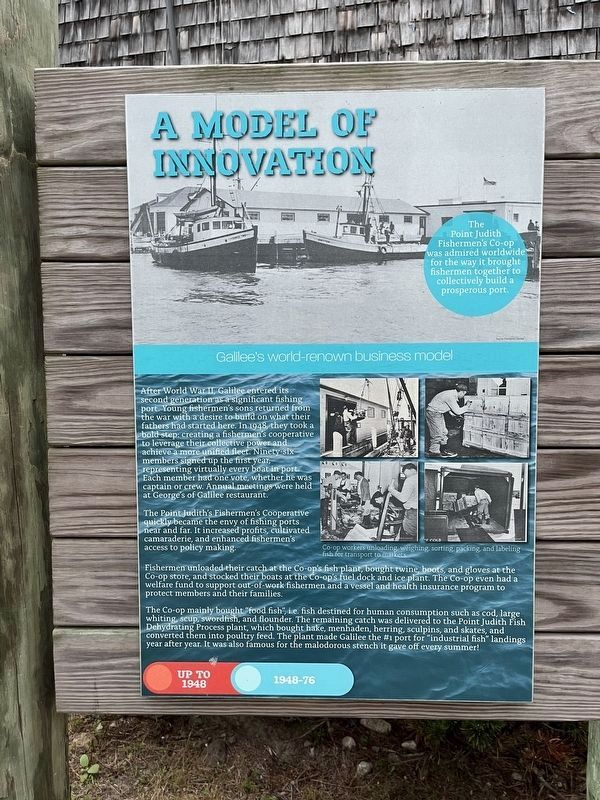
The Point Judith Fisherman's Co-op was admired worldwide for the way it brought fishermen together to collectively build a prosperous port.
Galilee's world-renown business model
After World War II, Galilee entered its second generation as a significant fishing port. Young fishermen's sons returning from the war with a desire to build on what their fathers had started here. In 1948, they took a bold step: creating a fishermen's cooperative to leverage their collective power and achieve a more unified fleet. Ninety-six members signed up the first year, representing virtually every boat in port. Each member had one vote, whether he was captain or crew. Annual meetings were held at George's of Galilee restaurant.
The Point Judith's Fishermen's Cooperative quickly became the envy of fishing ports near and far. It increased profits, cultivated camaraderie, and enhanced fishermen's access to policy making.
Fishermen unloaded their catch at the Co-op's fish plant, bought twine, boots, and gloves at the Co-op store, and stocked up their boats at the Co-op's fuel dock and ice plant. The Co-op even had a welfare fund to
this page online
The Co-op mainly bought "food fish", i.e. fish destined for human consumption such as cod, large whiting, scup, swordfish, and flounder. The remaining catch was delivered to the Point Judith Fish Dehydrating Process plant, which bought hake, menhaden, herring, sculpins, and skates, and converted them into poultry feed. The plant made Galilee the #1 port for "industrial fish" landings year after year. It was also famous for the malodorous stench it gave off every summer.
Erected by the fishing community of Galilee with financial support from the Rhode Island Foundation.
Topics. This historical marker is listed in these topic lists: Animals • Industry & Commerce • Labor Unions • Waterways & Vessels. A significant historical year for this entry is 1948.
Location. 41° 22.839′ N, 71° 30.567′ W. Marker is in Narragansett, Rhode Island, in Washington County. It is in Point Judith. It is on Great Island Road just north of State Street, on the left when traveling north. Touch for map. Marker is at or near this

Regionally, this marker is on Narragansett Bay and in South County. It is also in the American Northeast, in New England, and on the Eastern Seaboard. Globally, it is in the North Atlantic Region, North America, the Western Hemisphere, the Western World, and the Anglosphere. Historically, it finds itself in what was once one of the original Thirteen Colonies.
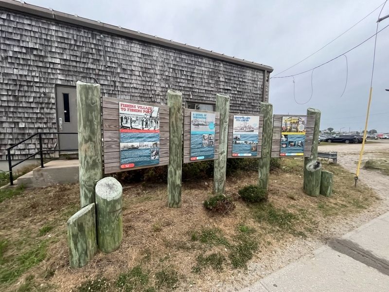
Other nearby markers. At least 8 other markers are within 2 miles of this marker, measured as the crow flies: From Fishing Village to Fishing Port (here, next to this marker); Growth and Its Limits (here, next to this marker); In It for the Long Haul (here, next to this marker); Galilee: A Working Waterfront (about 600 feet away, measured in a direct line); From Trawl to Table (about 700 feet away); From Trap to Table (approx. 0.2 miles away); Point Judith Light House (approx. 2 miles away); The S.S. Black Point (approx. 2 miles away). Touch for a list and map of all markers in Narragansett.
Credits. This page was last revised on July 17, 2024. It was originally submitted on July 17, 2024, by Devry Becker Jones of Washington, District of Columbia. This page has been viewed 290 times since then and 33 times this year. Photos: 1, 2. submitted on July 17, 2024, by Devry Becker Jones of Washington, District of Columbia.
