
Wanskuck in Providence in Providence County, Rhode Island — The American Northeast (New England)
Slavery and Land Acknowledgement
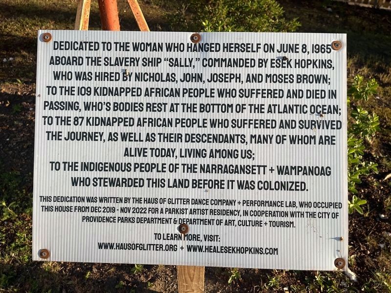
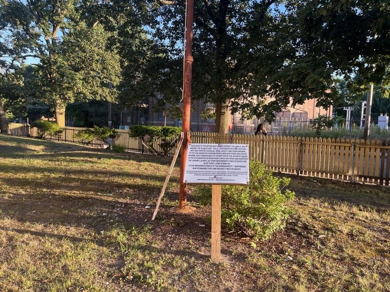
Dedicated to the woman who hanged herself on June 8, 1965 aboard the slavery ship "Sally," commanded by Esek Hopkins, who was hired by Nicholas, John, Joseph, and Moses Brown; to the 109 kidnapped African people who suffered and died in passing, who's bodies rest at the bottom of the Atlantic Ocean; to the 87 kidnapped African people who suffered and survived the journey as well as their descendants, many of whom are alive today, living among us; to the indigenous people of the Narragansett + Wampanoag who stewarded this land before it was colonized.
This dedication was written by the Haus of Glitter Dance Company + Performance Lab, who occupied this house from Dec 2019 - Nov 2022 for a Parkist Artist Residency, in cooperation with the City of Providence Parks Department & Department of Art, Culture + Tourism.
Erected 2022 by Haus of Glitter Dance Company + Performance Lab.
Topics. This historical marker is listed in these topic lists: African Americans • Colonial Era • Industry & Commerce • Waterways & Vessels. A significant historical date for this entry is June 8, 1765.
Location. 41° 50.503′ N, 71° 25.24′ W.
this page online

Regionally, this marker is on Rhode Island’s Narragansett Bay. It is also in the American Northeast, in New England, and on the Eastern Seaboard. Globally, it is in the North Atlantic Region, North America, the Western Hemisphere, the Western World, and the Anglosphere. Historically, it finds itself in what was once one of the original Thirteen Colonies.
Other nearby markers. At least 8 other markers are within walking distance of this marker: Esek Hopkins (a few steps from this marker); Elizabeth Angell Gould (a few steps from this marker); Saul I. Bard and Myer Primack Memorial Square (approx. 0.6 miles away); Revolutionary War Patriots (approx. 0.7 miles away); Stephen Hopkins (approx. 0.7 miles away); The Illustrious Stephen Hopkins (approx. 0.7 miles away); Sarah Scott Hopkins (approx. 0.7 miles away); Rhode Island State House
Credits. This page was last revised on July 18, 2024. It was originally submitted on July 18, 2024, by Devry Becker Jones of Washington, District of Columbia. This page has been viewed 121 times since then and 13 times this year. Photos: 1, 2. submitted on July 18, 2024, by Devry Becker Jones of Washington, District of Columbia.
