Near Camp Verde in Yavapai County, Arizona — The American Mountains (Southwest)
Alcoves and Cavates

Photographed by James Hulse, June 19, 2024
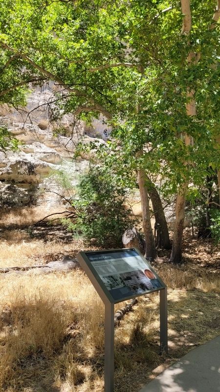
1. Alcoves and Cavates Marker
Wind and water have sculpted countless alcoves, holes, and crannies in the soft layers of the Verde Formation limestone. People built homes in large alcoves and used smaller recesses for temporary shelter and storage. When people dug into a cliff and enlarged or modified the opening, they created what archeologists call cavates.
Most cavates are similar to one another, extending about 10 feet (3 m) into the cliff. Some contained both local and imported pottery sherds dating from 1150 to 1400. During the winter you can see one from here, about halfway up the cliff, downstream from Castle A. Look closely for a masonry wall with a doorway.
People living in these cavates must have shared a connection to one another and been yet another part of the Montezuma Castle neighborhood.
For your safety and their protection, all cavates are now closed to entry.
Captions
In rock shelters and cavates, a masonry front wall enclosed living and storage spaces in niches off the front room. The floor was comprised of plaster on top of compacted earth or bedrock, which often had ridges to divide interior space - though some may have had wood and mud walls.
A survey of a nearby cavate revealed the site was reused in more modern times. Archeologists recovered a Yavapai or Western Apache basket and items left behind by early visitors and soldiers from nearby Fort Verde.
Erected by Montezuma
this page online
Topics. This historical marker is listed in these topic lists: Anthropology & Archaeology • Indigenous Peoples and Communities.
Location. 34° 36.706′ N, 111° 50.562′ W. Marker is near Camp Verde, Arizona, in Yavapai County. It is on Montezuma Castle Road one mile east of Beaver Creek Estates Road. The marker is located along the loop hiking trail at the Montezuma Castle National Monument. Touch for map. Marker is at or near this postal address: 2800 Montezuma Castle Rd, Camp Verde AZ 86322, United States of America. Touch for directions.

Regionally, this marker is in Verde Valley and in the Yavapai-Apache Nation. It is also in the American Southwest and in the Mountain West. Globally, it is in North America, the Western Hemisphere, the Western World, and the Anglosphere. Historically, it finds itself in what was once New Spain and also Mexico’s Alta California.
Other nearby markers. At least 8 other markers are within walking distance of this marker: Growing a Livelihood (a few steps from this marker); a different marker also named People Next Door
Photographed by James Hulse, June 19, 2024
2. Alcoves and Cavates Marker
Other markers no longer nearby. The People Next Door (was a few steps from this marker but has been permanently removed); The Neighborhood / Mysterious Departures (was within shouting distance of this marker but has been permanently removed); The Way Up / Construction Sequence (was within shouting distance of this marker but has been permanently removed).
Also see . . . Montezuma Castle - History & Culture. National Park Service
On December 8, 1906, President Theodore Roosevelt celebrated the passage of the Antiquities Act by declaring four sites of historic and cultural significance as our nation's first National Monuments. Among these was Montezuma Castle, which the President identified as a place "of the greatest ethnological value and scientific interest." Although very few original artifacts remained in the structure due to intensive looting of the site, Roosevelt's decision assured the continued protection of one of the best preserved prehistoric cliff dwellings in North America.(Submitted on July 18, 2024, by James Hulse of Medina, Texas.)
Photographed by James Hulse, June 19, 2024
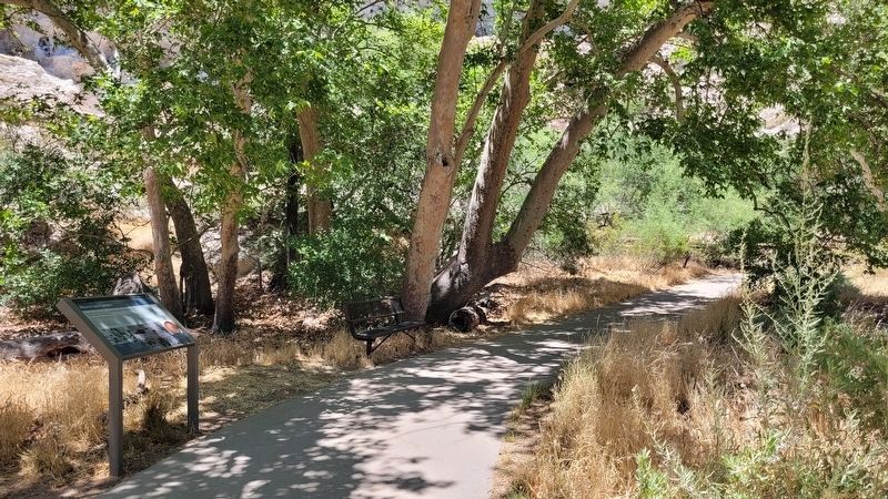
3. The view of the middle along the trail

Photographed by James Hulse, June 19, 2024
4. Alcoves and Cavates along the cliff side
Credits. This page was last revised on July 19, 2024. It was originally submitted on July 18, 2024, by James Hulse of Medina, Texas. This page has been viewed 195 times since then and 26 times this year. Photos: 1, 2, 3, 4. submitted on July 18, 2024, by James Hulse of Medina, Texas.
