Near Camp Verde in Yavapai County, Arizona — The American Mountains (Southwest)
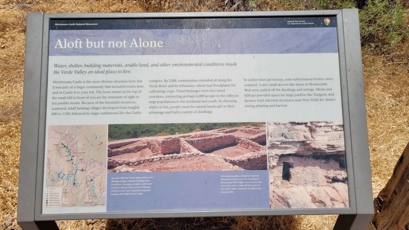
Aloft but not Alone
Photographed by James Hulse, June 19, 2024
1. Aloft but not Alone Marker
Montezuma Castle is the most obvious structure here, but it was part of a larger community that included rooms here and in Castle A to your left. The loose stones at the top of the small hill in front of you are the remnants of eight to ten pueblo rooms. Because of the bountiful resources, scattered, small farming villages developed from roughly 600 to 1100, followed by larger settlements like the Castle complex. By 1200, communities extended all along the Verde River and its tributaries, which had floodplains for cultivating crops. These drainages were also travel corridors, connecting perhaps 6,000 people in the valley to large populations to the northeast and south. In choosing where to live, people used the natural landscape to their advantage and built a variety of dwellings.
In earlier times pit houses, semi-subterranean homes, were common. Later, small alcoves like those at Montezuma Well were walled off for dwellings and storage. Mesas and hilltops provided space for large pueblos
this page online
Captions
Around 1300, the Verde Valley had at least 40 large villages, related dwellings, and farmlands, forming a complex settlement network, Much of this record of human activity is now lost to land development, erosion, and major flood events.
The rebuilt pueblo at Tuzigoot National Monument (above) and the dwellings at Montezuma Well (right) were in use at the same time as the Castle. All were part of the Verde Valley's network of settlements around 1300.
Erected by Montezuma Castle National Monument.
Topics. This historical marker is listed in these topic lists: Anthropology & Archaeology • Indigenous Peoples and Communities.
Location. 34° 36.722′ N, 111° 50.52′ W. Marker is near Camp Verde, Arizona, in Yavapai County. It is on Montezuma Castle Road one mile east of Beaver Creek Estates Road. The marker is located along the loop hiking trail at the Montezuma Castle National Monument. Touch for map. Marker is at or near this postal address: 2800 Montezuma
Photographed by James Hulse, June 19, 2024
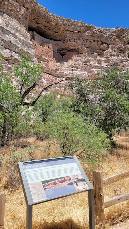
2. The view of the Montezuma Castle behind the marker

Regionally, this marker is in Verde Valley and in the Yavapai-Apache Nation. It is also in the American Southwest and in the Mountain West. Globally, it is in North America, the Western Hemisphere, the Western World, and the Anglosphere. Historically, it finds itself in what was once New Spain and also Mexico’s Alta California.
Other nearby markers. At least 8 other markers are within walking distance of this marker: On the Move (within shouting distance of this marker); Cycles of Care (within shouting distance of this marker); Creating a Home (within shouting distance of this marker); A Piece of Modern Monument History (within shouting distance of this marker); Creekside Community (within shouting distance of this marker); Kinship Ties (within shouting distance of this marker); Growing a Livelihood (within shouting distance of this marker); a different marker also named People Next Door (within shouting distance of this marker). Touch for a list and map of all markers in Camp Verde.
Other markers no longer nearby. The Way Up / Construction Sequence (was within shouting distance of this marker but has been permanently removed); The Community (was within shouting distance of this marker but has been permanently removed); The People Next Door (was within shouting distance of this marker but has been permanently removed).
Also see . . . Montezuma Castle - History & Culture. National Park Service
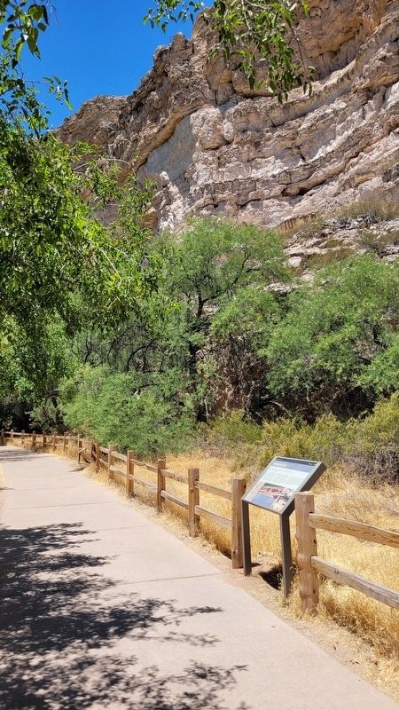
On December 8, 1906, President Theodore Roosevelt celebrated the passage of the Antiquities Act by declaring four sites of historic and cultural significance as our nation's first National Monuments. Among these was Montezuma Castle, which the President identified as a place "of the greatest ethnological value and scientific(Submitted on July 18, 2024, by James Hulse of Medina, Texas.)interest." Although very few original artifacts remained in the structure due to intensive looting of the site, Roosevelt's decision assured the continued protection of one of the best preserved prehistoric cliff dwellings in North America.Photographed by James Hulse, June 19, 20243. The view of the Aloft but not Alone Marker along the trail
Photographed by James Hulse, June 19, 2024
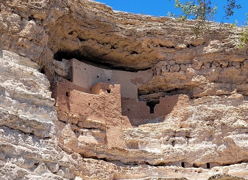
4. Montezuma Castle
Credits. This page was last revised on July 19, 2024. It was originally submitted on July 18, 2024, by James Hulse of Medina, Texas. This page has been viewed 163 times since then and 20 times this year. Photos: 1, 2. submitted on July 18, 2024, by James Hulse of Medina, Texas. 3, 4. submitted on July 19, 2024, by James Hulse of Medina, Texas.
