Near Camp Verde in Yavapai County, Arizona — The American Mountains (Southwest)
Cycles of Care
Photographed by James Hulse, June 19, 2024
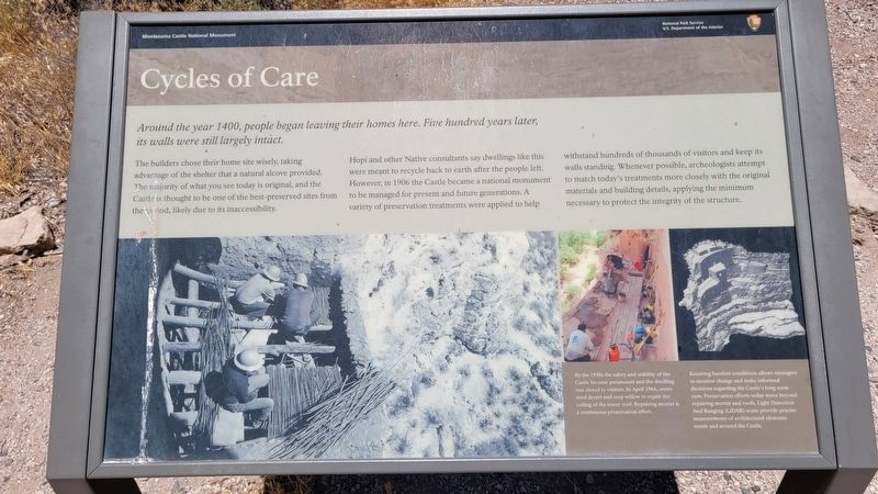
1. Cycles of Care Marker
The builders chose their home site wisely, taking advantage of the shelter that a natural alcove provided. The majority of what you see today is original, and the Castle is thought to be one of the best-preserved sites from the period, likely due to its inaccessibility.
Hopi and other Native consultants say dwellings like this were meant to recycle back to earth after the people left. However, in 1906 the Castle became a national monument to be managed for present and future generations. A variety of preservation treatments were applied to help withstand hundreds of thousands of visitors and keep its walls standing. Whenever possible, archeologists attempt to match today's treatments more closely with the original materials and building details, applying the minimum necessary to protect the integrity of the structure.
Captions
By the 1950s the safety and stability of the Castle became paramount and the dwelling was closed to visitors. In April 1964, crews used desert and seep willow to repair the ceiling of the tower roof. Repairing mortar is a continuous preservation effort.
Knowing baseline conditions allows managers to monitor change and make informed decisions regarding the Castle's long-term care. Preservation efforts today move beyond repairing mortar and roofs. Light Detection And Ranging (LiDAR) scans provide precise measurements of architectural elementa inside and around the Castle.
Erected by Montezuma
this page online
Topics. This historical marker is listed in these topic lists: Anthropology & Archaeology • Indigenous Peoples and Communities • Settlements & Settlers. A significant historical year for this entry is 1400.
Location. 34° 36.723′ N, 111° 50.498′ W. Marker is near Camp Verde, Arizona, in Yavapai County. It is on Montezuma Castle Road one mile east of Beaver Creek Estates Road. The marker is located along the loop hiking trail at the Montezuma Castle National Monument. Touch for map. Marker is at or near this postal address: 2800 Montezuma Castle Rd, Camp Verde AZ 86322, United States of America. Touch for directions.

Regionally, this marker is in Verde Valley and in the Yavapai-Apache Nation. It is also in the American Southwest and in the Mountain West. Globally, it is in North America, the Western Hemisphere, the Western World, and the Anglosphere. Historically, it finds itself in what was once New Spain and also Mexico’s Alta California.
Other nearby markers. At least 8 other markers are within walking distance of this marker: Creating a Home (here, next to this marker); Creekside Community
Photographed by James Hulse, June 19, 2024
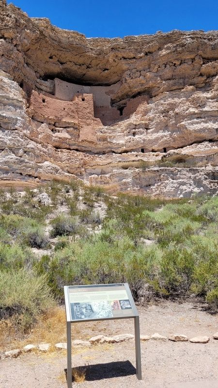
2. The view of Montezuma Castle behind the marker
Other markers no longer nearby. The Community (was within shouting distance of this marker but has been permanently removed); The Way Up / Construction Sequence (was within shouting distance of this marker but has been permanently removed); Welcome to The Castle (was within shouting distance of this marker but has been permanently removed); The Neighborhood / Mysterious Departures (was about 300 feet away, measured in a direct line but has been permanently removed); The People Next Door (was about 300 feet away but has been permanently removed).
Also see . . . Montezuma Castle - History & Culture. National Park Service
On December 8, 1906, President Theodore Roosevelt celebrated the passage of the Antiquities Act by declaring four sites of historic and cultural significance as our nation's first National Monuments. Among these was Montezuma Castle, which the President identified as a place "of the greatest ethnological value and scientific interest." Although very few original artifacts remained in the structure due to intensive looting of the site, Roosevelt's decision assured the continued protection of one of the best preserved prehistoric cliff dwellings in North America.(Submitted on July 18, 2024, by James Hulse of Medina, Texas.)
Photographed by James Hulse, June 19, 2024
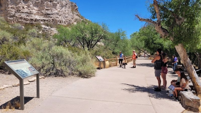
3. The view of the marker along the trail (left marker)

Photographed by James Hulse, June 19, 2024
4. Montezuma Castle
Credits. This page was last revised on July 19, 2024. It was originally submitted on July 18, 2024, by James Hulse of Medina, Texas. This page has been viewed 204 times since then and 23 times this year. Photos: 1, 2, 3, 4. submitted on July 19, 2024, by James Hulse of Medina, Texas.
