Near Holbrook in Furnas County, Nebraska — The American Midwest (Upper Plains)
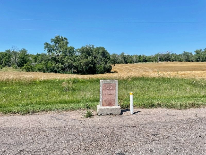
Ft. McPherson Trail
1863 to 1880

Photographed by Mark Hilton, July 10, 2024
1. Ft. McPherson Trail Marker
From the Republican to the Platte River. Last of the Old West
Topics. This historical marker is listed in these topic lists: Roads & Vehicles • Waterways & Vessels.
Location. 40° 18.438′ N, 100° 2.002′ W. Marker is near Holbrook, Nebraska, in Furnas County. It is on Grand Army of the Republic Highway (U.S. 6/34) one mile west of Benson Street, on the right when traveling west. Located at a roadside pull-off. Touch for map. Marker is in this post office area: Holbrook NE 68948, United States of America. Touch for directions.

Regionally, this marker is in Eastern Nebraska and in the Republican River Valley. It is also in the American Midwest, in the Corn Belt, and on the prairies. Globally, it is in North America, the Western Hemisphere, the Western World, and the Anglosphere. Historically, it finds itself in what was once the Louisiana Purchase.
Other nearby markers. At least 4 other markers are within 8 miles of this marker, measured as the crow flies: Burton's Bend (approx. 1.1 miles away); Marking First Homestead in Furnas Co. (approx. 6.7 miles away);
this page online
Regarding Ft. McPherson Trail. The Ft. McPherson Trail followed the divide between Medicine Creek and Deer Creek connecting Ft. McPherson in the Platte Valley, near present day Maxwell, with the Republican River valley. It was the route used by General Carr's Republican Valley Expedition of 1869, a military campaign clearing natives from the region.
Photographed by Mark Hilton, July 10, 2024
2. Ft. McPherson Trail Marker

Photographed by Mark Hilton, July 10, 2024
3. The view east from the Ft. McPherson Trail Marker towards Holbrook.
Credits. This page was last revised on December 20, 2024. It was originally submitted on July 19, 2024, by Mark Hilton of Montgomery, Alabama. This page has been viewed 484 times since then and 74 times this year. Photos: 1, 2, 3. submitted on July 19, 2024, by Mark Hilton of Montgomery, Alabama.
