Brownville in Nemaha County, Nebraska — The American Midwest (Upper Plains)
The Nebraska House
Network to Freedom - Sites Associate With Escape
| — | Nebraska Underground Railroad Tour | — |

Photographed by Mark Hilton, July 11, 2024
1. The Nebraska House Marker
The site of the Nebraska House, a former hotel completed in 1857 and located in Brownville, Nebraska, was associated with an escape of three runaway slaves (freedom seekers) from Missouri who engaged in a bloody shootout with slave catchers.
During the fall of 1857, three freedom seekers escaped their enslavement in Missouri. While traveling from Kansas and into the Territory of Nebraska, the freedom seekers were sighted in the willows a few miles south of Brownville. Hoping to make some money catching runaway slaves, four men, J.R. Davis, Thomas Williams, Archie Handley and William Myers pursued the three freedom seekers. According to the Nebraska Advertiser dated September 10, 1857:
"They had proceeded but a short distance when they came upon the negroes, who springing from their hiding places, well-armed, commenced firing upon the white men, and Wm. Myers was shot down by two of the negroes."
In result, Myers died of his wounds and an unnamed freedom seeker was shot in the arm. The other two freedom seekers escaped, while the injured one was held at the Nebraska House, and put into the hands of deputy sheriff,
this page online
While in custody, the injured freedom seeker was interviewed by the Nebraska Advertiser and revealed that he was previously owned by a "widow Todd," of Platte County, Missouri. He further explained that all three of the freedom seekers had escaped slavery the previous fall and made,their way to Lawrence, Kansas. From Kansas, the three men traveled north to the Territory of Nebraska on their way to freedom.
Charges against the injured freedom seeker were eventually dropped because it was determined that it was not he, but one of the other two freedom seekers who had shot Myers. After his release from the Nemaha County Jail, the freedom seeker was claimed by his owner and returned to slavery in Missouri.
The Nebraska House continued to operate as a hotel and in 1860 passed into the
Photographed by Mark Hilton, July 11, 2024
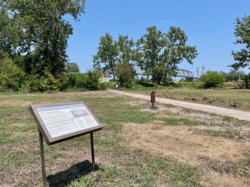
2. The Nebraska House Marker
The Steamboat Trace Trail can be seen on the right.
Erected 2013.
Topics. This historical marker is listed in these topic lists: Abolition & Underground RR • African Americans • Law Enforcement. A significant historical date for this entry is September 10, 1857.
Location. 40° 23.789′ N, 95° 39.211′ W. Marker is in Brownville, Nebraska, in Nemaha County. It is at the intersection of Brownville Recreation Road and South Wharf Street, on the right when traveling west on Brownville Recreation Road. Touch for map. Marker is in this post office area: Brownville NE 68321, United States of America. Touch for directions.

Regionally, this marker is in Eastern Nebraska. It is also in the American Midwest, in the Lewis & Clark Corridor, in the Corn Belt, and on the prairies. Globally, it is in North America, the Western Hemisphere, the Western World, and the Anglosphere. Historically, it finds itself in what was once the Louisiana Purchase.
Other nearby markers. At least 8 other markers are within walking

Photographed by Mark Hilton, July 11, 2024
3. The Nebraska House Marker
The Nebraska House stood here until fire and flood destroyed it.
More about this marker. The Steamboat Trace Trail runs right by the marker.
Credits. This page was last revised on December 22, 2024. It was originally submitted on July 21, 2024, by Mark Hilton of Montgomery, Alabama. This page has been viewed 553 times since then and 40 times this year. Photos: 1, 2, 3. submitted on July 21, 2024, by Mark Hilton of Montgomery, Alabama.
