Franklin Township near Weissport in Carbon County, Pennsylvania — The American Northeast (Mid-Atlantic)
From Mountain to Market
1829 - 1942
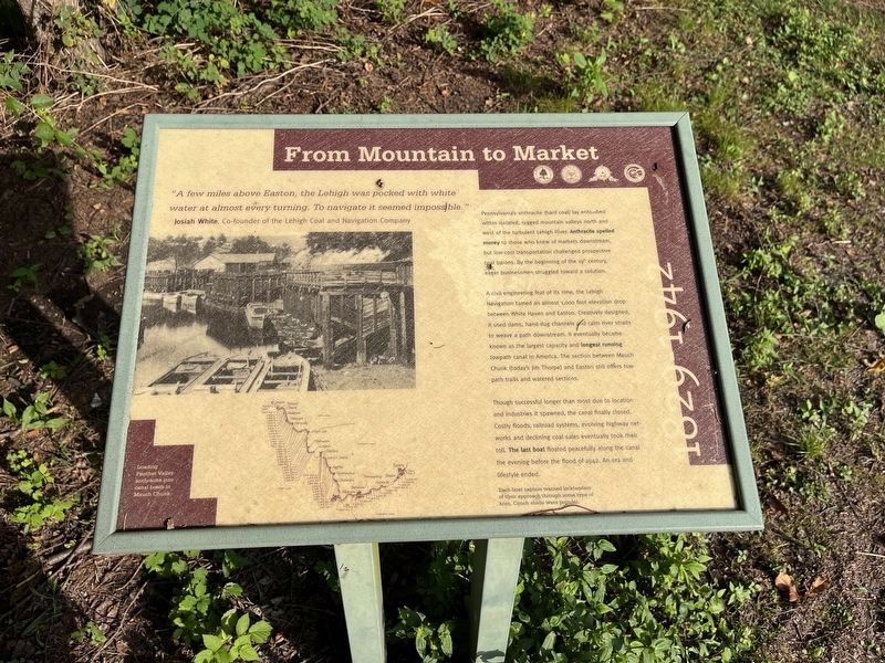
"A few miles above Easton, the Lehigh was pocked with white water at almost every turning. To navigate it seemed impossible."
Josiah White, Co-founder of the Lehigh Coal and Navigation Company
Pennsylvania's anthracite (hard coal) lay entombed within isolated, rugged mountain valleys north and west of the turbulent Lehigh River. Anthracite spelled money to those who knew of markets downstream, but low-cost transportation challenged prospective coal barons. By the beginning of the 19th century, eager businessmen struggle toward a solution.
A civil engineering feat of its time, the Lehigh Navigation tamed an almost 1,000 foot elevation drop between White Haven and Easton. Creatively designed, it used dams, hand-dug channels and calm river straits to weave a path downstream. It eventually became known as the largest capacity and longest running towpath canal in America. The section between Mauch Chunk (today's Jim Thorpe) and Easton still offers tow-path trails and watered sections.
Though successful longer than most due to location and industries it spawned, the canal finally closed. Costly floods, railroad systems,
this page online
[Caption:]
Each boat captain warned locktenders of their approach through some type of horn. Conch shells were popular.
Erected by Delaware & Lehigh National Heritage Corridor, Bethlehem City and Township, and Carbon County.
Topics and series. This historical marker is listed in these topic lists: Environment • Industry & Commerce • Railroads & Streetcars • Waterways & Vessels. In addition, it is included in the Lehigh Canal series list. A significant historical year for this entry is 1942.
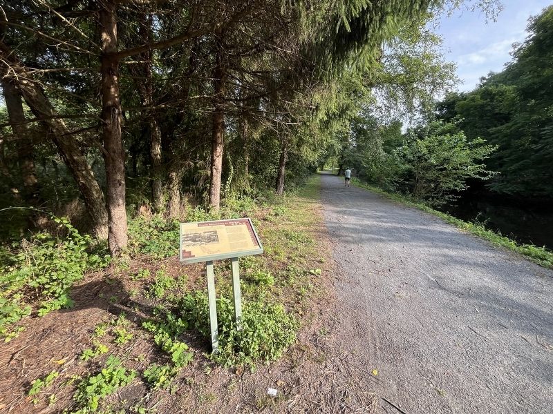
Location. 40° 49.914′ N, 75° 42.041′ W. Marker is near Weissport, Pennsylvania, in Carbon County. It is in Franklin Township. It is on D&L Trail - Lehigh Canal (North) 0.2 miles north of Bridge Street, on the left when traveling north. Touch for map. Marker is at or near this postal address: 103 Canal St, Lehighton PA 18235, United States of America. Touch for directions.

Regionally, this marker is in Anthracite Coal Region and in
Other nearby markers. At least 8 other markers are within walking distance of this marker: Weissport & Nearby Heritage Attractions (within shouting distance of this marker); Exploring the Corridor (within shouting distance of this marker); The Hub in it's Heyday (within shouting distance of this marker); Fort Allen (about 600 feet away, measured in a direct line); Jacob Weiss Memorial (about 800 feet away); National War Savings Campaign of 1918 (about 800 feet away); Franklin's Week in Weissport (approx. 0.2 miles away); a different marker also named Fort Allen (approx. 0.2 miles away). Touch for a list and map of all markers in Weissport.

Photographed by Devry Becker Jones (CC0), July 20, 2024
3. Additional signage along the trail
This sign features no historical information.
Credits. This page was last revised on July 23, 2024. It was originally submitted on July 23, 2024, by Devry Becker Jones of Washington, District of Columbia. This page has been viewed 112 times since then and 11 times this year. Photos: 1, 2, 3. submitted on July 23, 2024, by Devry Becker Jones of Washington, District of Columbia.
