Marker Logo
THE HISTORICAL
MARKER DATABASE
“Bite-Size Bits of Local, National, and Global History”
Gladstone in Clay County, Missouri — The American Midwest (Upper Plains)
 

Old Pike Road
⎯⎯⎯
Ferry Boat Operators at Kawsmouth
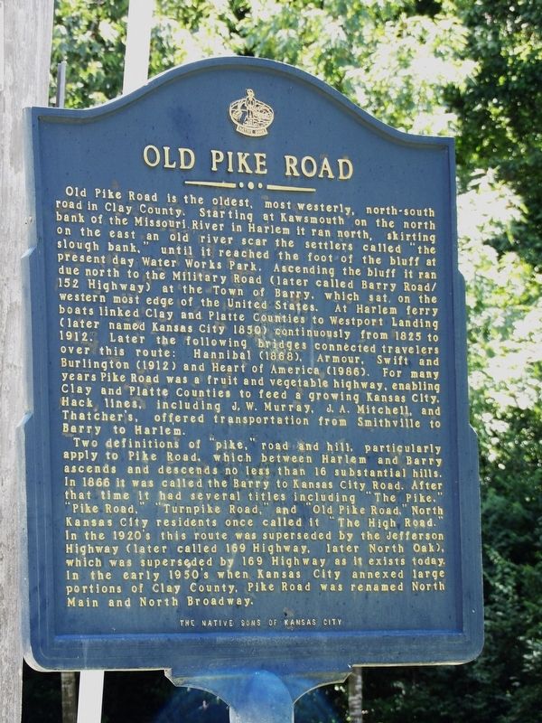
 
 
Old Pike Road side of marker image. Click for full size.
Photographed by Duane and Tracy Marsteller, June 30, 2024
1. Old Pike Road side of marker
Inscription. Old Pike Road is the oldest, most westerly, north-south road in Clay County. Starting at Kawsmouth on the north bank of the Missouri River in Harlem it ran north, skirting on the east an old river scar the settlers called “the slough bank,” until it reached the foot of the bluff at present day Water Works Park. Ascending the bluff it ran due north to the Military Road (later called Barry Road/152 Highway) at the Town of Barry, which sat on the westernmost edge of the United States. At Harlem ferry boats linked Clay and Platte Counties to Westport Landing (later named Kansas City 1850) continuously from 1825 to 1912. Later the following bridges connected travelers over this route: Hannibal (1868), Armour, Swift and Burlington (1912) and Heart of America (1986). For many years Pike Road was a fruit and vegetable highway, enabling Clay and Platte Counties to feed a growing Kansas City. Hack lines, including J.W. Murray, J.A. Mitchell, and Thatcher's, offered transportation from Smithville to Barry to Harlem.

Two definitions of “pike,” road and hill, particularly apply to Pike Road, which between Harlem and Barry ascends
Paid Advertisement
Click or scan to see
this page online
and descends no less than 16 substantial hills. In 1866 it was called the Barry to Kansas City Road. After that time it had several titles including “The Pike,” “Pike Road,” “Turnpike Road,” and “Old Pike Road.” North Kansas City residents once called it “The High Road.” In the 1920's this route was superseded by the Jefferson Highway (later called 169 Highway, later North Oak), which was superseded by 169 Highway as it exists today. In the early 1950's when Kansas City annexed large portions of Clay County, Pike Road was renamed North Main and North Broadway.

Ferry Boat Operators at Kawsmouth
• William Evans – 1820's
• Richard Linville – 1825-1826
• Calixte Montardy (Calisse) – 1826-1830
• Benjamin Hancock – 1830-1837
• Pierre Roy – 1837-1844
• Oliver Caldwell – 1841
• John McCoy – 1841-1846
• William Chick – 1844-1850
• John Campbell – 1851-1855
• Campbell & McCoy – 1856
• Campbell, Swope, Armstrong, Chick & Northrup – 1857-1865
• Campbell, Nelson & Co. – 1865-1878
• William Cade – 1879-1912
 
Erected 2001 by Native Sons of Kansas City. (Marker Number 25.)
 
Topics and series. This historical marker is listed
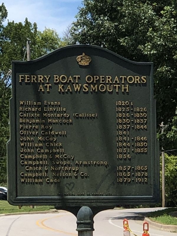
Ferry Boat Operators at Kawsmouth side of marker image. Click for full size.
Photographed by Duane and Tracy Marsteller, June 30, 2024
2. Ferry Boat Operators at Kawsmouth side of marker
in these topic lists: Roads & VehiclesWaterways & Vessels. In addition, it is included in the Jefferson Highway, and the Kansas City - Native Sons and Daughters of Greater Kansas City series lists. A significant historical year for this entry is 1825.
 
Location. 39° 11.207′ N, 94° 35.062′ W. Marker is in Gladstone, Missouri, in Clay County. It is at the intersection of Northwest Old Pike Road and Northwest 51st Street, on the right when traveling south on Northwest Old Pike Road. Touch for map. Marker is in this post office area: Kansas City MO 64118, United States of America. Touch for directions.

Regionally, this marker is in the Missouri River Corridor and in Greater Kansas City. It is also in the American Midwest, in the Lewis & Clark Corridor, and in the Corn Belt. Globally, it is in North America, the Western Hemisphere, the Western World, and the Anglosphere. Historically, it finds itself in what was once the territory of the Mississippian Culture, the Louisiana Purchase, and the Antebellum South.

Other nearby markers. At least 8 other markers are within 3 miles of this marker, measured as the crow flies: Renner Village Site
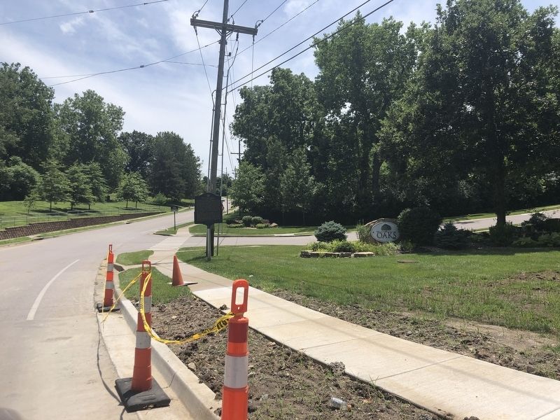
Old Pike Road / Ferry Boat Operators at Kawsmouth Marker image. Click for full size.
Photographed by Duane and Tracy Marsteller, June 30, 2024
3. Old Pike Road / Ferry Boat Operators at Kawsmouth Marker
(approx. 1.8 miles away); Antioch Church (approx. 1.9 miles away); a different marker also named Antioch Church (approx. 2 miles away); a different marker also named Antioch Church (approx. 2 miles away); Historic Linden, Missouri (approx. 2.4 miles away); Replica of the Statue of Liberty (approx. 2.9 miles away); War Memorial (approx. 2.9 miles away); a different marker also named War Memorial (approx. 2.9 miles away).
 
 
Credits. This page was last revised on July 27, 2024. It was originally submitted on July 23, 2024, by Duane and Tracy Marsteller of Murfreesboro, Tennessee. This page has been viewed 714 times since then and 75 times this year. Photos:   1, 2, 3. submitted on July 23, 2024, by Duane and Tracy Marsteller of Murfreesboro, Tennessee.

m=252107

CeraNet Cloud Computing sponsors the Historical Marker Database.
This website earns income from purchases you make after using our links to Amazon.com. We appreciate your support.
Paid Advertisement
Jul. 18, 2026