Detroit Lakes in Becker County, Minnesota — The American Midwest (Upper Plains)
The Woods Trail
Photographed by Liz Koele, December 22, 2021
1. The Woods Trail Marker
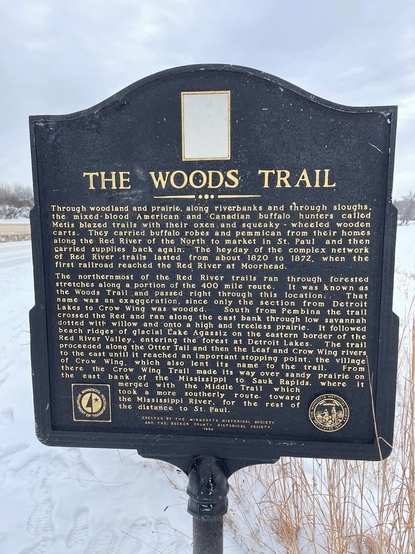
Through woodland and prairie, along riverbanks and through sloughs, the mixed-blood American and Canadian buffalo hunters called Metis blazed trails with their oxen and squeaky-wheeled wooden carts. They carried buffalo robes and pemmican from their homes along the Red River of the North to market in St. Paul and then carried supplies back again. The heyday of the complex network of Red River trails lasted from about 1820 to 1872, when the first railroad reached the Red River at Moorhead.
The northernmost of the Red River trails ran through forested stretches along a portion of the 400 mile route. It was known as the Woods Trail and passed right through this location. That name was an exaggeration, since only the section from Detroit Lakes to Crow Wing was wooded. South from Pembina the trail crossed the Red and ran along the east bank through low savannah dotted with willow and onto a high and treeless prairie. It followed beach ridges of glacial Lake Agassiz on the eastern border of the Red River Valley, entering the forest at Detroit Lakes. The trail proceeded along the Otter Tail and then the Leaf and Crow Wing
this page online
Erected 1996 by The Minnesota Historical Society and the Becker County Historical Society.
Topics and series. This historical marker is listed in these topic lists: Indigenous Peoples and Communities • Industry & Commerce • Roads & Vehicles. In addition, it is included in the Minnesota Historical Society series list. A significant historical year for this entry is 1820.
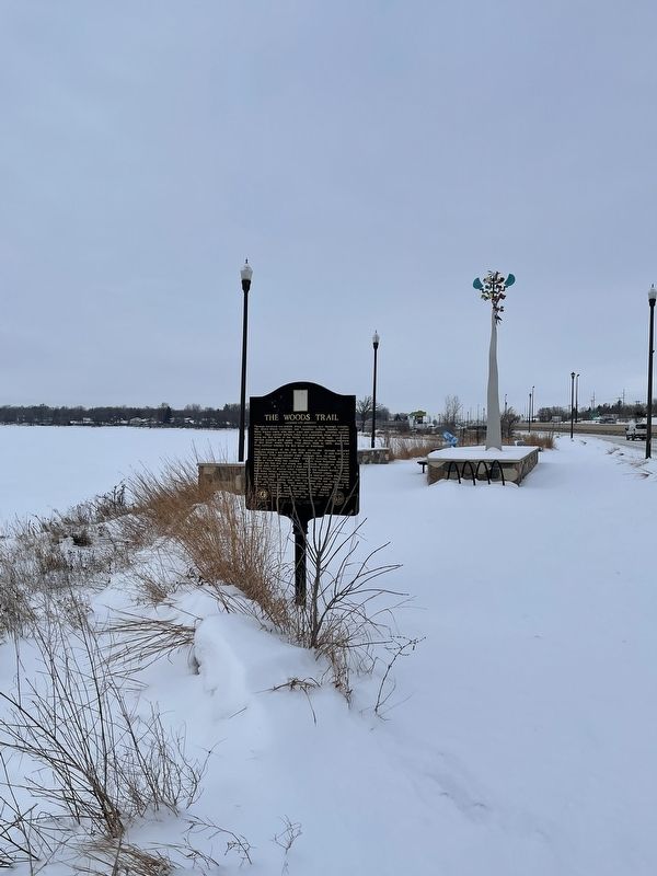
Location. 46° 48.226′ N, 95° 48.703′ W. Marker is in Detroit Lakes, Minnesota, in Becker County. It is on Frontage Road 0.4 miles south of North Shore Drive, on the right when traveling south. The marker is located near a scenic overlook of Big Detroit Lake just off Highway 10. Touch for map. Marker is at or near this postal address: 1285 Route 10, Detroit Lakes MN 56501,
Photographed by Liz Koele, December 22, 2021
2. The Woods Trail Marker

Regionally, this marker is in the American Midwest and in the Corn Belt. Globally, it is in North America, the Western Hemisphere, the Western World, and the Anglosphere. Historically, it finds itself in what was once Rupert’s Land, the territory of the Mississippian Culture, and the Louisiana Purchase.
Other nearby markers. At least 8 other markers are within 10 miles of this marker, measured as the crow flies: The Lakes of Minnesota (within shouting distance of this marker); Detroit Lakes — A City with a Past (within shouting distance of this marker); Detroit Lakes Carnegie Library (approx. 1.8 miles away); Becker County Courthouse (approx. 1.9 miles away); Red River Ox Cart Trail (approx. 4.6 miles away); Cook Homestead (approx. 8.3 miles away); Home Again (approx. 8.3 miles away); Height of Land (approx. 9.3 miles away). Touch for a list and map of all markers in Detroit Lakes.
Credits. This page was last revised on July 30, 2024. It was originally submitted on September 30, 2022, by Liz Koele of St. Paul, Minnesota. This page has been viewed 982 times since then and 95 times this year. Last updated on July 30, 2024, by Annette Fillmore of York, Pennsylvania. Photos: 1, 2. submitted on September 30, 2022, by Liz Koele of St. Paul, Minnesota. • Devry Becker Jones was the editor who published this page.
