Toluca in Marshall County, Illinois — The American Midwest (Great Lakes)
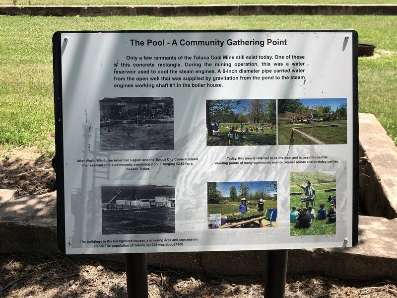
The Pool – A Community Gathering Point
Photographed by Duane and Tracy Marsteller, July 6, 2024
1. The Pool – A Community Gathering Point Marker
[Captions]
• Top left: After World War 1, the American Legion and the Toluca City Council turned the reservoir into a community swimming pool, charging $2.50 for a season ticket.
• Bottom left: The buildings in the background housed a dressing area and concession stand. The population of Toluca in 1923 was about 1400.
• Top right: Today, this area is referred to as the pool and is used for central meeting points of many community events, wiener roasts and birthday parties.
Topics. This historical marker is listed in these topic lists: Industry & Commerce • Parks & Recreational Areas • Waterways & Vessels. A significant historical year for this entry is 1923.
Location. 40° 59.924′ N, 89° 8.097′ W. Marker is in Toluca, Illinois, in Marshall County. It can be reached
this page online

Regionally, this marker is in the Illinois River Valley and in Greater Peoria. It is also in the American Midwest and in the Corn Belt. Globally, it is in North America, the Western Hemisphere, the Western World, and the Anglosphere. Historically, it finds itself in what was once the territory of the Mississippian Culture and also the Northwest Territory.
Other nearby markers. At least 7 other markers are within 12 miles of this marker, measured as the crow flies: The Jumbo (about 300 feet away, measured in a direct line); Devlin/Toluca Coal Mine Fan Housing (about 300 feet away); Devlin / Toluca Coal Mine Shaft Number 1 (about 400 feet away); Toluca Coal Mine (about 400 feet away); Santa Fe Railroad (about 400 feet away); Site of the first Clear Creek Friends Meeting House (approx. 11½ miles away); John Swaney School (approx. 11.6 miles away).
Photographed by Duane and Tracy Marsteller, July 6, 2024
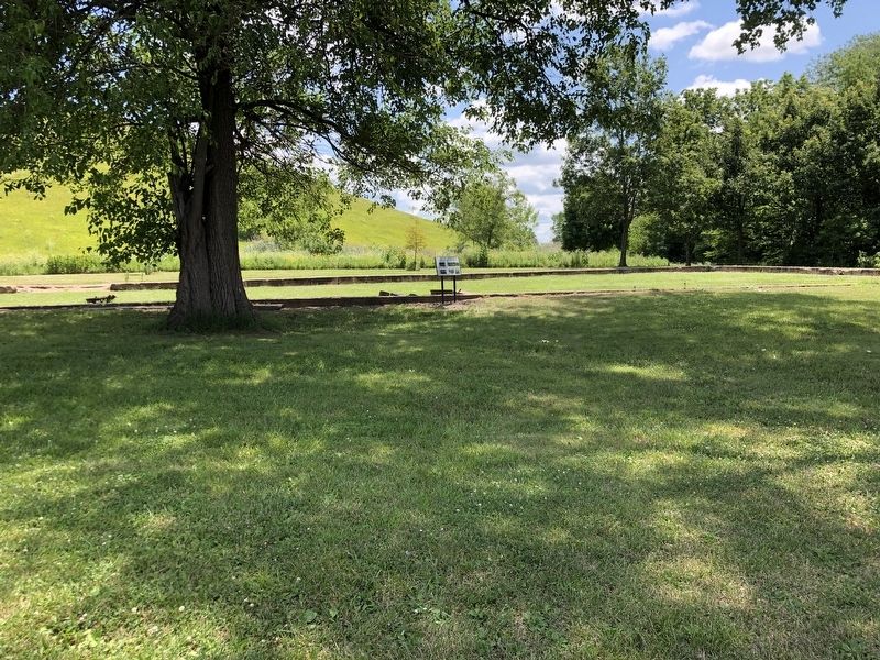
2. The Pool – A Community Gathering Point Marker
Credits. This page was last revised on August 1, 2024. It was originally submitted on August 1, 2024, by Duane and Tracy Marsteller of Murfreesboro, Tennessee. This page has been viewed 140 times since then and 21 times this year. Photos: 1, 2. submitted on August 1, 2024, by Duane and Tracy Marsteller of Murfreesboro, Tennessee.
