
Washburn in McLean County, North Dakota — The American Midwest (Upper Plains)
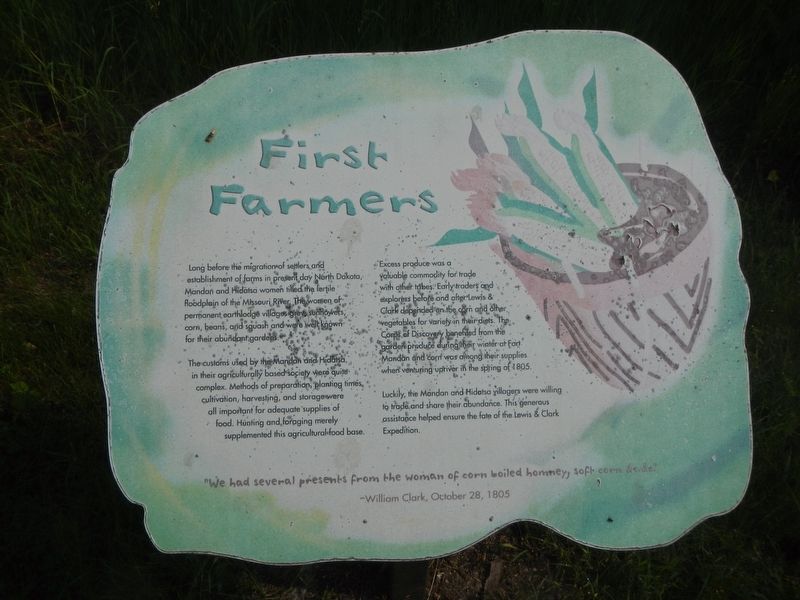
First Farmers
Photographed by Barry Swackhamer, February 4, 2011
1. First Farmers Marker
-William Clark, October 28, 1805
Long before the migration of settlers and establishment of farms in present day North Dakota, Mandan and Hidatsa women tilled the fertile floodplain of the Missouri River. The women of permanent earthlodge villages grew sunflowers, corn, beans, and squash and were well known for their abundant gardens.
The customs used by the Mandan and Hidatsa in their agriculturally based society are quite complex. Methods of preparation, planting times, cultivation, harvesting, and storage were all important for adequate supplies of food. Hunting and foraging merely supplemented this agricultural base.
Excess produce was a valuable commodity for trade with other tribes. Early traders and explorers before and after Lewis and Clark depended on the corn and other vegetables for variety in their diets. The Corps of Discovery benefited from the garden produce during their winter at Fort Mandan and corn was among their supplies when venturing upriver in the spring of 1805.
Luckily, the Mandan and Hidatsa villagers
this page online
Topics and series. This historical marker is listed in these topic lists: Agriculture • Exploration • Indigenous Peoples and Communities. In addition, it is included in the Lewis & Clark Expedition series list. A significant historical date for this entry is October 28, 1805.
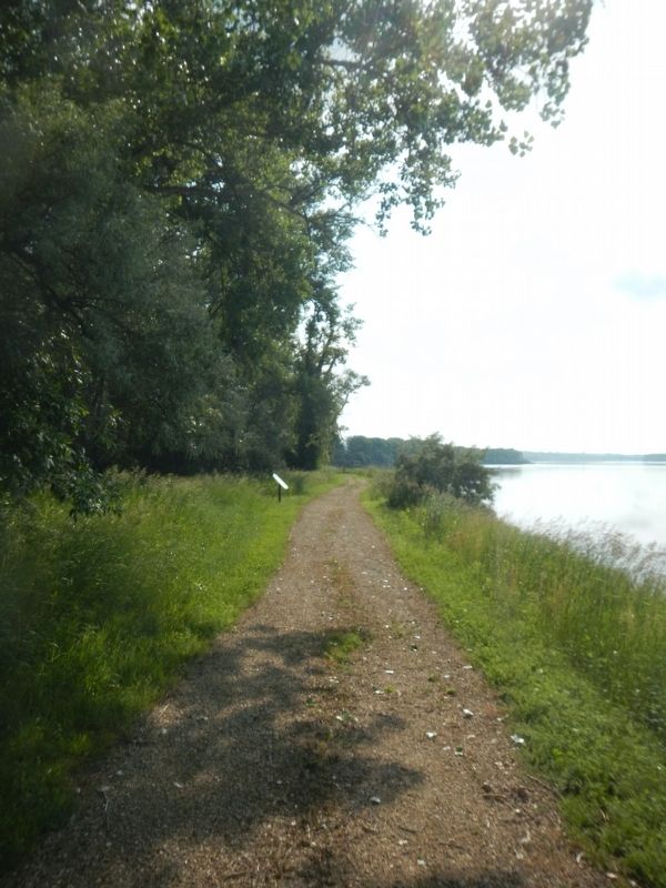
Location. 47° 17.838′ N, 101° 5.241′ W. Marker is in Washburn, North Dakota, in McLean County. It can be reached from 28th Avenue Southwest near 8th Street Southwest. The marker is located at the Fort Mandan State Historic Site down by the riverfront. Touch for map. Marker is at or near this postal address: 838 28th Ave SW, Washburn ND 58577, United States of America. Touch for directions.

Regionally, this marker is in North Dakota’s Standing Rock Sioux Tribe, in the Drift Prairie, and on the Missouri Plateau. It is also in the American Lewis & Clark Corridor, on the prairies, and on the Northern Plains. Globally, it is in North America, the Western Hemisphere, the Western World, and the Anglosphere. Historically, it finds
Photographed by Barry Swackhamer, February 4, 2011
2. First Farmers Marker
Other nearby markers. At least 8 other markers are within walking distance of this marker: Seaman (within shouting distance of this marker); Fort Mandan (within shouting distance of this marker); A Respectable Fleet (about 300 feet away, measured in a direct line); Cargo of Discovery (about 300 feet away); Current of Change (about 300 feet away); Bicentennial Wagon Train Pilgrimage to Pennsylvania (about 400 feet away); Pleasures and Pastimes (about 400 feet away); Below the Freezing Point (about 400 feet away). Touch for a list and map of all markers in Washburn.
Credits. This page was last revised on August 3, 2024. It was originally submitted on August 3, 2024, by Barry Swackhamer of Brentwood, California. This page has been viewed 135 times since then and 32 times this year. Photos: 1, 2. submitted on August 3, 2024, by Barry Swackhamer of Brentwood, California.
