Marysville in Marshall County, Kansas — The American Midwest (Upper Plains)
Rope Ferry
Photographed by Jeremy Snow, July 19, 2024
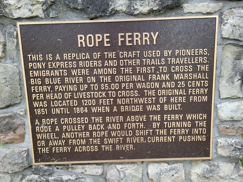
1. Rope Ferry Marker
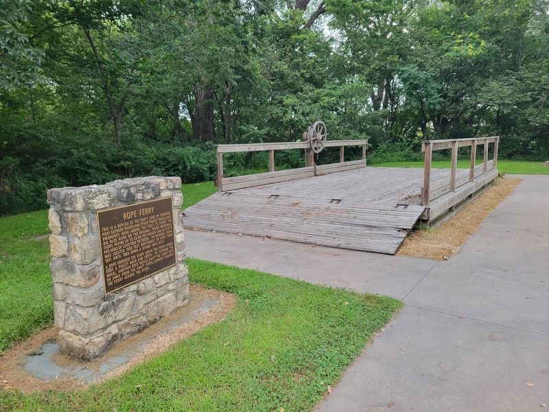
This is a replica of the craft used by pioneers, Pony Express riders and other trails travellers. Emigrants were among the first to cross the Big Blue River on the original Frank Marshall ferry, paying up to $5.00 per wagon and 25 cents per head of livestock to cross. The original ferry was located 1200 feet northwest of here from 1851 until 1864 when a bridge was built.
A rope crossed the river above the ferry which rode a pulley back and forth. By turning the wheel, another rope would shift the ferry into or away from the swift river current pushing the ferry across the river.
Topics. This historical marker is listed in these topic lists: Roads & Vehicles • Waterways & Vessels. A significant historical year for this entry is 1851.
Location. 39° 50.595′ N, 96° 39.549′ W. Marker is in Marysville, Kansas, in Marshall County. It is on South 10th Street, on the right when traveling north. Touch for map. Marker is at or near this postal address: 1189 S 10th St, Marysville KS 66508, United States of America. Touch for directions.

Regionally, this marker is in Eastern Kansas. It is also in the American Midwest, in the
this page online
Other nearby markers. At least 8 other markers are within walking distance of this marker: Oregon Trail (here, next to this marker); Alcove Spring (a few steps from this marker); St. Joe Road (a few steps from this marker); Mormon Trail (a few steps from this marker); Military Road (a few steps from this marker); Pony Express Trail (a few steps from this marker); Overland Stage (a few steps from this marker); California Trail (a few steps from this marker). Touch for a list and map of all markers in Marysville.
Photographed by Jeremy Snow, July 19, 2024
2. Rope Ferry Marker
Credits. This page was last revised on December 16, 2024. It was originally submitted on August 5, 2024, by Jeremy Snow of Cedar City, Utah. This page has been viewed 455 times since then and 59 times this year. Photos: 1, 2. submitted on August 5, 2024, by Jeremy Snow of Cedar City, Utah. • J. Makali Bruton was the editor who published this page.
