Big Timber in Sweet Grass County, Montana — The American West (Mountains)
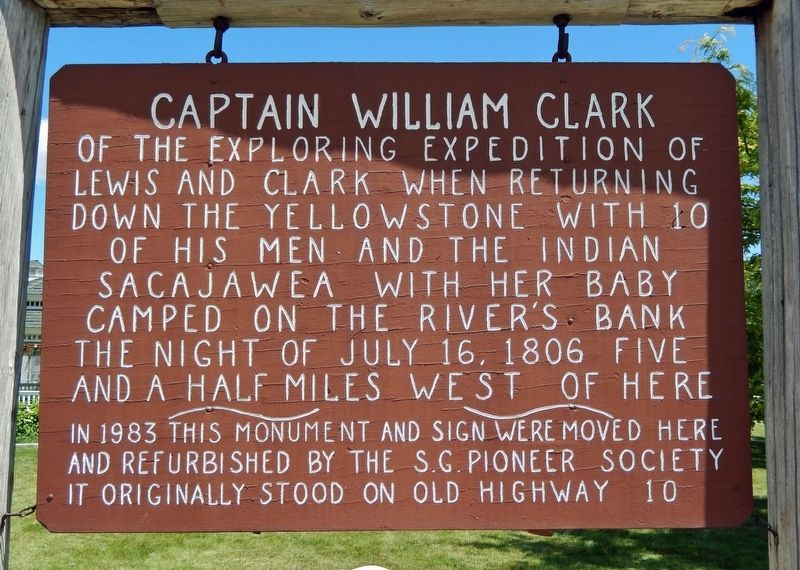
Captain William Clark
Photographed by Cosmos Mariner, July 5, 2024
1. Captain William Clark Marker
Erected 1983 by Sweet Grass Pioneer Society.
Topics and series. This historical marker is listed in these topic lists: Exploration • Indigenous Peoples and Communities • Waterways & Vessels. In addition, it is included in the Lewis & Clark Expedition series list. A significant historical date for this entry is July 16, 1806.
Location. 45° 49.728′ N, 109° 56.869′ W. Marker is in Big Timber, Montana, in Sweet Grass County. It is on McLeod Street just north of East 9th Avenue, on the left when traveling south. The marker is located near the southwest corner of Lions Club Park. Touch for map. Marker is at or near this postal address: 103 East 8th Avenue, Big Timber MT 59011, United States of America. Touch for directions.

Regionally, this marker is in Yellowstone
this page online
Other nearby markers. At least 8 other markers are within walking distance of this marker: Sweet Grass Woolen Mill (a few steps from this marker); St. Mark's Episcopal Church (approx. 0.3 miles away); Carnegie Public Library (approx. 0.4 miles away); Grand Hotel (approx. half a mile away); The Bonanza or Bozeman Trail (approx. ¾ mile away); Clark camps at Little Timber Creek (approx. 0.9 miles away); The Lewis and Clark Expedition (approx. 0.9 miles away); "...all in blume..." (approx. 0.9 miles away). Touch for a list and map of all markers in Big Timber.
Also see . . .
1. Journals of the Lewis & Clark Expedition, July 16, 1806. Excerpt:
The camp was in Sweet Grass County, Montana, on the north side of the Yellowstone just below the mouth of Little Timber Creek.(Submitted on August 6, 2024, by Cosmos Mariner of Cape Canaveral, Florida.)
2. Journals of the Lewis & Clark Expedition, July 17, 1806.
Photographed by Cosmos Mariner, July 5, 2024
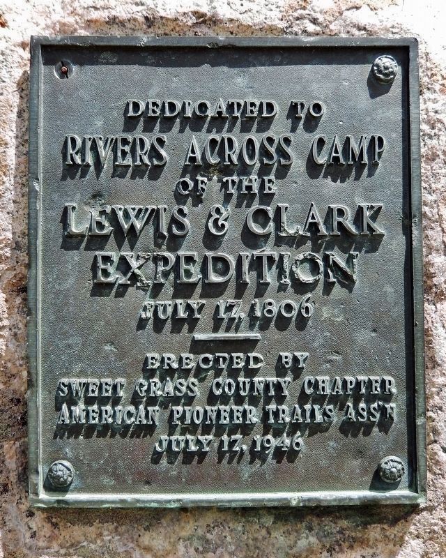
2. Rivers Across Camp Marker (1946)
Rivers Across Camp
of the
Lewis & Clark
Expedition
July 17, 1806
—————
Erected by
Sweet Grass County Chapter
American Pioneer Trails Ass’n
July 17, 1946
The camp was on the north side of the Yellowstone a mile or two below the mouth of Hump Creek, in Sweet Grass County, just west of the Stillwater County line. On the north is Big Timber Creek and on the south is Boulder River, in the vicinity of present Big Timber, Sweet Grass County, Montana.(Submitted on August 6, 2024, by Cosmos Mariner of Cape Canaveral, Florida.)
Photographed by Cosmos Mariner, July 5, 2024
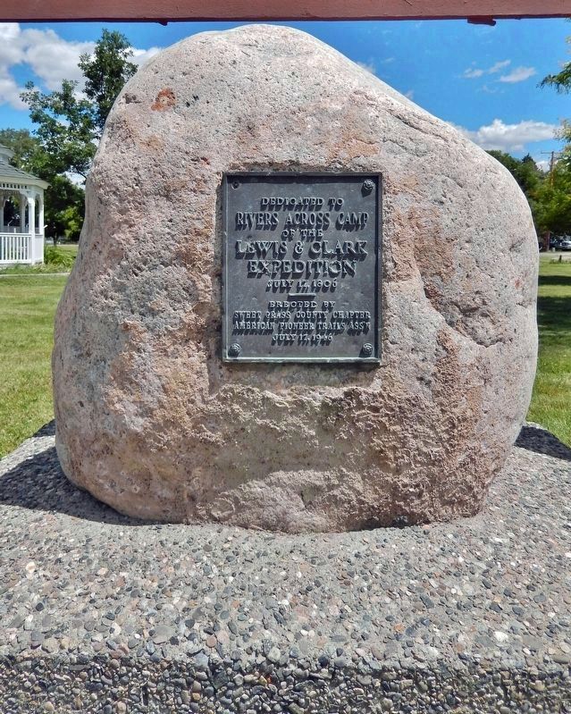
3. Rivers Across Camp Monument (1946)
Photographed by Cosmos Mariner, July 5, 2024
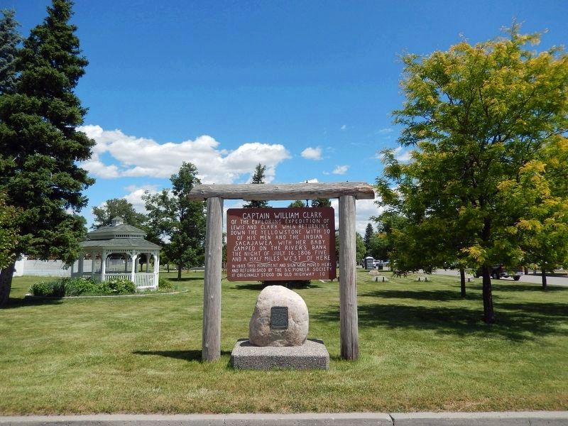
4. Captain William Clark Marker & Rivers Across Camp Monument
Looking northeast from McLeod Street; Lions Club Park is in the background.
Credits. This page was last revised on August 6, 2024. It was originally submitted on August 6, 2024, by Cosmos Mariner of Cape Canaveral, Florida. This page has been viewed 295 times since then and 49 times this year. Photos: 1, 2, 3, 4. submitted on August 6, 2024, by Cosmos Mariner of Cape Canaveral, Florida.
