Wardensville in Hardy County, West Virginia — The American South (Appalachia)
Wardensville
Crossroads of War
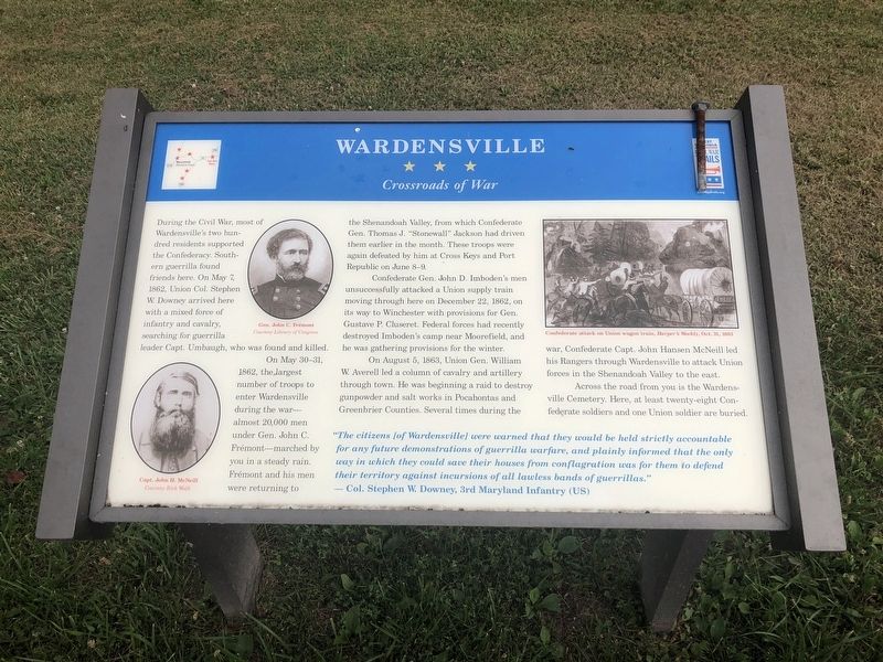
During the Civil War, most of Wardensville's two hundred residents supported the Confederacy. Southern guerrilla found friends here. On May 7, 1862, Union Col. Stephen W. Downey arrived with a mixed force of infantry and cavalry, searching for guerrilla leader Capt. Umbaugh, who was found and killed.
On May 30-31, 1862, the largest number of troops to enter Wardensville during the war—almost 20,000 men under Gen. John C. Frémont—marched by you in a steady rain. Frémont and his men were returning to the Shenandoah Valley, from which Confederate Gen. Thomas J. "Stonewall" Jackson had driven them earlier in the month. These troops were again defeated by him at Cross Keys and Port Republic on June 8-9.
Confederate Gen. John D. Imboden's men unsuccessfully attacked a Union supply train moving through here on December 22, 1862, on its way to Winchester with provisions for Gen. Gustave P. Culseret. Federal forces had recently destroyed Imboden's camp near Moorefield, and he was gathering provisions for the winter.
On August 5, 1863, Union Gen. William W. Averell led a column of cavalry and artillery through town. He
this page online
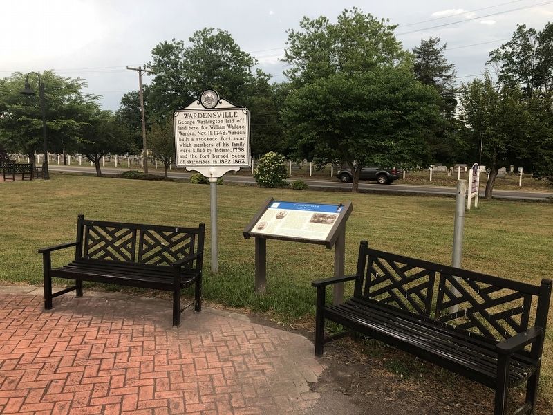
Across the road from you is the Wardensville Cemetery. Here, at least twenty-eight Confederate soldiers and one Union soldier are buried.
"The citizens [of Wardensville] were warned that they would be held strictly accountable for any future demonstrations of guerrilla warfare, and plainly informed that the only way in which they could save their houses from conflagration was for them to defend their territory against incursions of all lawless bands of guerrillas."
— Col. Stephen W. Downey, 3rd Maryland Infantry (US)
Erected by West Virginia Civil War Trails.
Topics and series. This historical marker is listed in these topic lists: Cemeteries & Burial Sites • War, US Civil. In addition, it is included in the West Virginia Civil War Trails series list. A significant historical date for this entry is May 7, 1862.
Location. 39° 4.795′ N, 78° 35.522′ W. Marker is in Wardensville,

Regionally, this marker is in the Eastern Panhandle. It is also in the American South, specifically in the Upper South, in Appalachia, and specifically in Northern Appalachia. Globally, it is in North America, the Western Hemisphere, the Western World, and the Anglosphere. Historically, it finds itself in what was once the territory of the Mississippian Culture and also the Antebellum South.
Other nearby markers. At least 8 other markers are within 8 miles of this marker, measured as the crow flies: A different marker also named Wardensville (a few steps from this marker); Veterans Memorial (about 400 feet away, measured in a direct line); Son of Man (approx. 0.4 miles away); Lost and Found (approx. 3½ miles away); West Virginia (Hardy County) / Virginia (approx. 4.2 miles away); Capon Springs (approx. 6.3 miles away); Capon Lake Whipple Truss Bridge (approx. 6.3 miles away); Oriskany Sand (approx. 7.4 miles away). Touch for a list and map of all markers in Wardensville.
Other markers no longer nearby. Wardensville (was a few steps from this marker but has been replaced with another marker now near it); Population Center (was a few steps from this marker but has been confirmed missing); Historic Whipple Truss (was approx. 6.3 miles away but has been replaced with another marker now near it).
Related marker. Click here for another marker that is related to this marker. This marker has replaced the linked marker.
Credits. This page was last revised on August 14, 2024. It was originally submitted on July 17, 2020, by Devry Becker Jones of Washington, District of Columbia. This page has been viewed 982 times since then and 60 times this year. Last updated on August 7, 2024, by Carl Gordon Moore Jr. of North East, Maryland. Photos: 1, 2. submitted on July 17, 2020, by Devry Becker Jones of Washington, District of Columbia.
