Yellowstone National Park in Park County, Wyoming — The American West (Mountains)
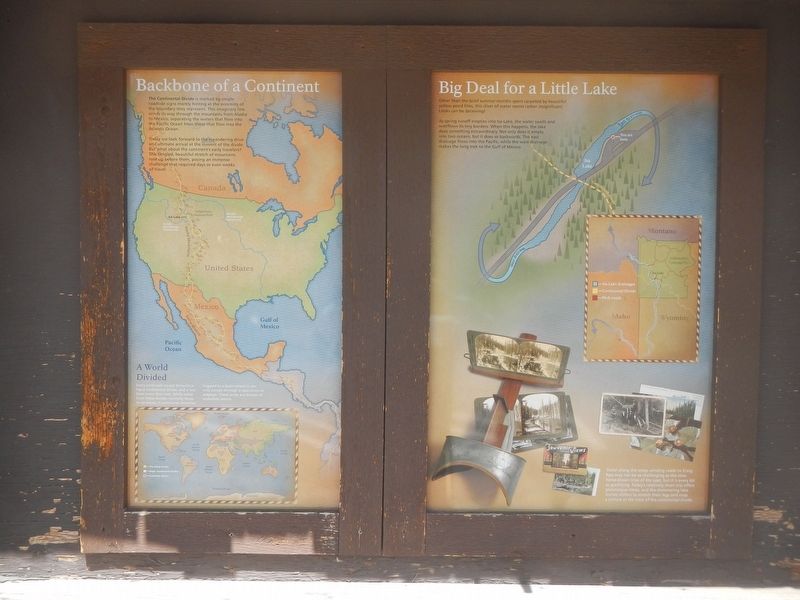
Big Deal for a Little Lake
The Continental Divide
Photographed by Barry Swackhamer, February 8, 2011
1. Big Deal for a Little Lake Marker
Captions: (bottom right) Travel along the steep winding roads to Craig Pass may not be as challenging as the slow horse-drawn trips of the past, but it is every bit as gratifying. Today's relatively short trip offers picturesque views., and the shimmering lake invites visitors to stretch their legs and snap a picture at he crest of the continental divide.; (bottom left) A World Divided Every continent except Antartica has a continental divide, and a few have more than one. While water from these divides normally flows to and ocean, it sometimes become trapped in a basin where it can only escape through evaporation or seepage. These areas are known as endorheic basins.
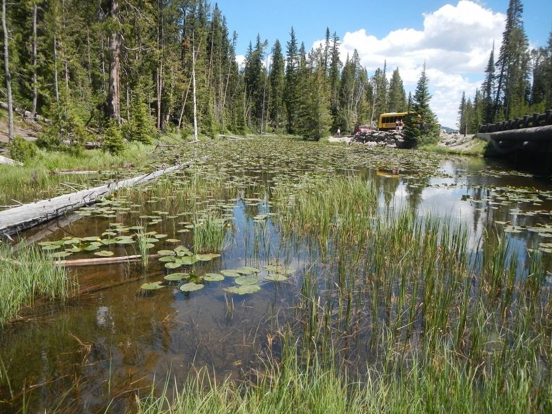
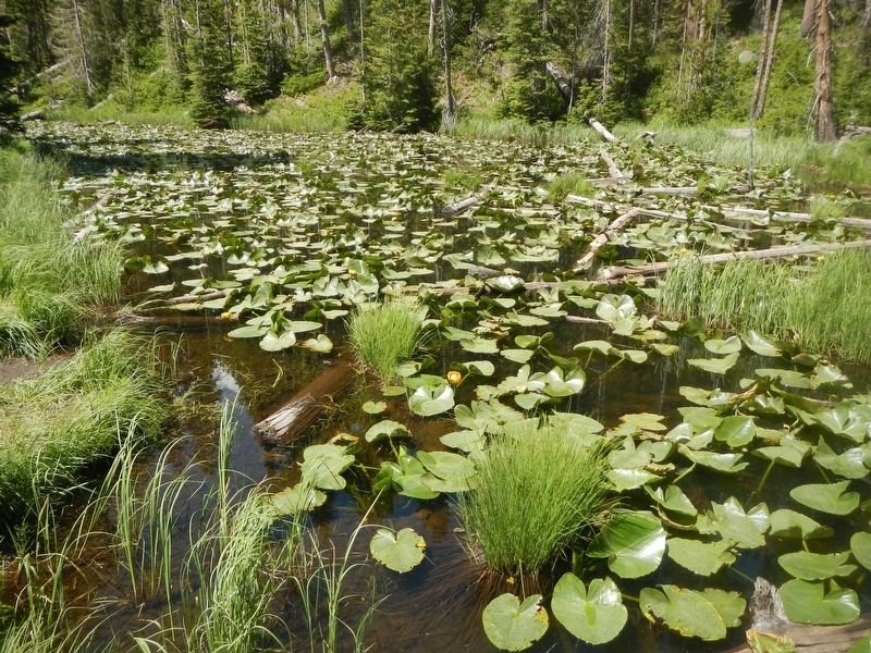
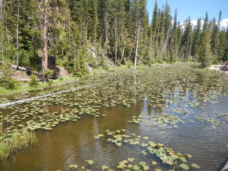
As spring runoff empties into Isa Lake, the water swells and overflows it tiny borders. When this happens, the lake does something extraordinary, Not only does it empty into two oceans, but it does so backwards. The east drainage flows into the Pacific, while the west drainage makes the long trek to the Gulf of Mexico.
The Continental Divide is marked by simple roadside signs merely hinting at the enormity of the boundary they represent, This imaginary line winds its way through the mountains from Alaska to Mexico, separating the waters that flow into the Pacific Ocean from those that flow into the Atlantic Ocean.
Today we look forward to the meandering drive and ultimate arrival at the summit of the divide. But what about the continent's early travelers? This tangled beautiful street of mountains rose up before them, posing an immense challenge that required days or even weeks of travel.
Erected by National Park Service.
this page online
Topics. This historical marker is listed in these topic lists: Natural Features • Parks & Recreational Areas.
Location. 44° 26.515′ N, 110° 43.104′ W. Marker is in Yellowstone National Park, Wyoming, in Park County. It is on Grand Loop Road (U.S. 20), on the left when traveling east. Isa Lake is about 8 miles east of Old Faithful Geyser. Touch for map. Marker is at or near this postal address: Alternate U.S Highway numbers are: 89 191 287, Yellowstone National Park WY 82190, United States of America. Touch for directions.

Regionally, this marker is in the Bighorn Basin and in Greater Yellowstone. It is also in the American Mountain West and in the Lewis & Clark Corridor. Globally, it is in North America, the Rocky Mountains, the Western Hemisphere, the Western World, and the Anglosphere.
Other nearby markers. At least 8 other markers are within 7 miles of this marker, measured as the crow flies: Snow-Movers (approx. 5½ miles away); Beehive Geyser (approx. 5.7 miles away); Crested Pool (approx. 6 miles away); Castle Geyser (approx. 6 miles away); Grand Geyser (approx.
Photographed by Barry Swackhamer, February 8, 2011
2. Isa Lake
The marker is up by the yellow tour bus.
Photographed by Barry Swackhamer, February 8, 2011
3. Isa Lake
Photographed by Barry Swackhamer, February 8, 2011
4. Isa Lake
Photographed by Wikipedia Commons
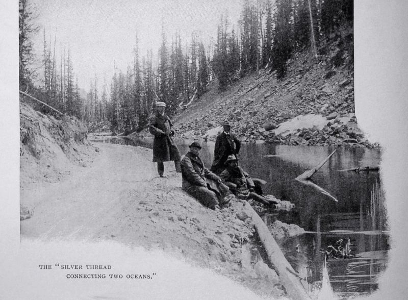
5. The "Silver Thread Conncting Two Oceans"
Early Day Travelers at Isa Lake.
Credits. This page was last revised on August 11, 2024. It was originally submitted on August 10, 2024, by Barry Swackhamer of Brentwood, California. This page has been viewed 339 times since then and 50 times this year. Photos: 1, 2, 3, 4, 5. submitted on August 10, 2024, by Barry Swackhamer of Brentwood, California.
