Near Spring Green in Sauk County, Wisconsin — The American Midwest (Great Lakes)
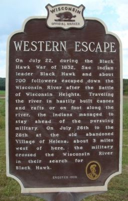
Western Escape
Photographed by William J. Toman, September 5, 2010
1. Western Escape Marker
Erected 1998 by the Wisconsin Historical Society. (Marker Number 410.)
Topics and series. This historical marker is listed in these topic lists: Indigenous Peoples and Communities • Wars, US Indian. In addition, it is included in the Black Hawk War, and the Wisconsin Historical Society series lists. A significant historical month for this entry is July 1836.
Location. 43° 11.549′ N, 90° 1.555′ W. Marker is near Spring Green, Wisconsin, in Sauk County. It is on State Highway 60 near Neuhelsel Road, on the left when traveling west. Touch for map. Marker is in this post office area: Spring Green WI 53588, United States of America. Touch for directions.

Regionally, this marker is in Greater Madison. It is also in the American Midwest, in the Corn Belt, and in the Driftless Area — Bluff Country. Globally, it is in North America, the Western Hemisphere, the Western World, and the Anglosphere. Historically, it finds itself in what was once the territory of the Mississippian Culture and also the Northwest Territory.
Other nearby markers. At least 8 other markers are within 5 miles of this marker, measured as the crow flies: Frank Lloyd Wright (approx. 2.2 miles away); Shot Tower (approx. 3.1 miles away); Tower Hill State Park (approx. 3.2 miles away); Site of Old Helena (approx. 3.2 miles away); Military River Crossing (approx.
this page online
Photographed by William J. Toman, September 5, 2010
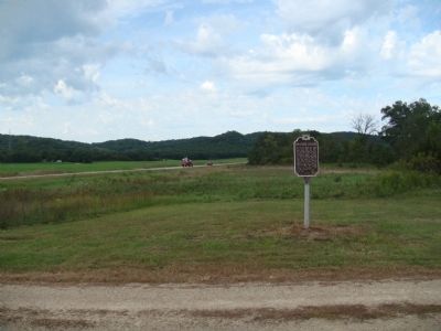
2. Western Escape Marker
Photographed by Greta Schassler, July 20, 2025
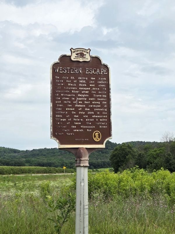
3. Western Escape Marker
Credits. This page was last revised on July 22, 2025. It was originally submitted on September 6, 2010, by William J. Toman of Green Lake, Wisconsin. This page has been viewed 1,740 times since then and 61 times this year. Last updated on August 12, 2024, by Greta Mulder of Milwaukee, Wisconsin. Photos: 1, 2. submitted on September 6, 2010, by William J. Toman of Green Lake, Wisconsin. 3. submitted on July 20, 2025, by Greta Mulder of Milwaukee, Wisconsin. • J. Makali Bruton was the editor who published this page.
