Riverfront in Chattanooga in Hamilton County, Tennessee — The American South (East South Central)
Tennessee Valley Authority

Photographed by Joel Seewald, April 29, 2024
1. Tennessee Valley Authority Marker
Various options, including the construction of a huge levee along the waterfront area, were proposed to address flooding in Chattanooga.
One of the earliest efforts was the construction of the Hale's Bar Dam, the first multi-purpose dam on the Tennessee River, which was completed in 1913.
However, it was not until 1933 when President Franklin D. Roosevelt proposed the creation of the Tennessee Valley Authority (TVA) that a comprehensive plan was developed to address the flooding issue. Through its system of locks and dams, TVA would provide flood control, improve navigation, generate electricity, create jobs, and improve the quality of life in this region.
President Roosevelt visited Chattanooga in September 1940 to dedicate the nearby Chickamauga Dam, upstream from this spot. In his remarks, Roosevelt referred to the series of reservoirs along the river as the "Great Lakes of the South," which would harness the "vagrant stream" of the Tennessee "in order that it may serve in full the purposes of mankind."
Top left image caption: Chickamauga Dam Under Construction, 1938
Courtesy of Chattanooga Public LIibrary, Paul A. Hiener Collection
Bottom left image caption: Chickamauga Dam Under Construction, 1930s
Courtesy of Chattanooga Public LIibrary
Top right image caption: Chickamauga Dam Under Construction, 1930s
Courtesy of Chattanooga Public LIibrary
Bottom right image caption: President Franklin D. Roosevelt (seated) at the dedication of the Chickamauga Dam in 1940.
Courtesy of Chattanooga Public LIibrary, Paul A. Hiener Collection
Erected by Tennessee
this page online
Topics. This historical marker is listed in this topic list: Waterways & Vessels. A significant historical month for this entry is September 1940.
Location. 35° 3.388′ N, 85° 18.679′ W. Marker is in Chattanooga, Tennessee, in Hamilton County. It is in Riverfront. It is on Riverfront Parkway (State Highway 58) east of Chestnut Street, on the left when traveling east. Touch for map. Marker is in this post office area: Chattanooga TN 37402, United States of America. Touch for directions.

Regionally, this marker is in the American South, specifically in the Upper South, in Appalachia, and specifically in Southern Appalachia. Globally, it is in North America, the Western Hemisphere, the Western World, and the Anglosphere. Historically, it finds itself in what was once the original Cherokee Nation, the territory of the Mississippian Culture, one of the Confederate States of America, and the Antebellum South.
Other nearby markers. At least 8 other markers are within walking distance of this marker: Chattanooga's First Citizens (here, next to this marker); Flooding Along the Tennessee River (within shouting distance of this
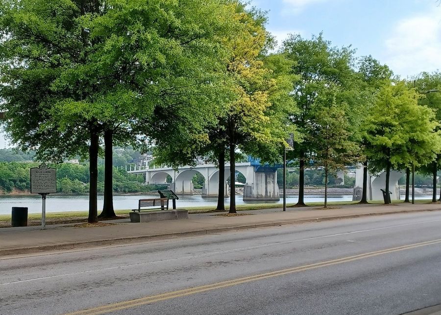
Photographed by Joel Seewald, April 29, 2024
2. Tennessee Valley Authority Marker
Marker is in the distance at the far right.
Another marker is no longer nearby. 1790 John Ross 1866 (was here, next to this marker but has been confirmed missing).
Also see . . .
1. Hales Bar Dam. Wikipedia article (Submitted on August 12, 2024, by Joel Seewald of Madison Heights, Michigan.)
2. Chickamauga Dam. Wikipedia article (Submitted on August 12, 2024, by Joel Seewald of Madison Heights, Michigan.)
Credits. This page was last revised on August 12, 2024. It was originally submitted on August 12, 2024, by Joel Seewald of Madison Heights, Michigan. This page has been viewed 284 times since then and 45 times this year. Photos: 1, 2. submitted on August 12, 2024, by Joel Seewald of Madison Heights, Michigan.
