
Brighton Beach in Brooklyn in Kings County, New York — The American Northeast (Mid-Atlantic)
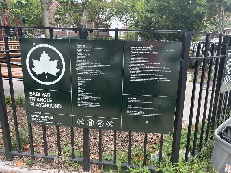
Babi Yar Triangle

What was here before?
This was once the site of the Manhattan Beach Hotel and Land Company owned by Austin Corbin (1827-1896). The high-end resort attracted upper-class clientele to the area until prohibition made gambling illegal, and the resort closed until 1912.
How did this site become parkland?
A New York City Art Commission Design Award was awarded to Krog and Tegnell Landscape Architects following their 1988 reconstruction of this triangle. What had once been little more than a paved traffic island was converted into a small yet vibrant park. Their plans made full use of space, incorporating a memorial as well as various amenities for the community's use. The Star of David, a universally recognized symbol of the Jewish faith, is inscribed within the center circle of the park. In its center, a bronze plaque commemorates the massacre of Babi Yar and bids visitors to remember the dead.
Brighton Beach has been a Jewish enclave since the 1920s, and in the 1970s, a new influx of Russian Jewish immigrants increased the population of this community. A number of Ukrainian-born Jewish immigrants were present when
this page online
This site was rebuilt in 2022 with new play equipment, game tables and green space for respite and contemplation.
What is this parkland named for?
This park was named in 1981 to commemorate one of the darkest events of World War II (1939-1945). On Sept. 29 and 30, 1941, Nazi Einsatzgruppe soldiers, supported by members of the Ukrainian militia, massacres 33,711 Jews in the Babi Yar ravine outside of Kiev, Ukraine. Over the course of the 778 days of Nazi rule in Kiev, the ravine became a mass grave of over 100,000 people. In addition to Jewish Ukrainians, the Nazis targeted others for persecution, including Roma and Sinti people, Soviet Prisoners of War, people who they deemed to be homosexual, public dissenters of the Third Reich's activities, and people who they deemed to have physical and mental disabilities.
Erected by NYC Parks. (Marker Number 300.)
Topics and series. This historical marker is listed in these topic lists: Immigration • Parks & Recreational Areas

Location. 40° 34.757′ N, 73° 57.269′ W. Marker is in Brooklyn, New York, in Kings County. It is in Brighton Beach. It is at the intersection of Corbin Place and Ocean View Avenue, on the left when traveling north on Corbin Place. Touch for map. Marker is at or near this postal address: 1210 Corbin Pl, Brooklyn NY 11235, United States of America. Touch for directions.

Regionally, this marker is in New York City and on Long Island. It is also in the American Northeast, in the Mid-Atlantic, and on the Eastern Seaboard. Globally, it is in the North Atlantic Region, North America, the Western Hemisphere, the Western World, and the Anglosphere. Historically, it finds itself in what was once New Netherland and also one of the original Thirteen Colonies.
Other nearby markers. At least 8 other markers are within walking distance of this marker: Babi Yar Park (here, next to this marker); Chiune Sigihara (approx. 0.2 miles away); Holocaust Memorial (approx. ¼ mile away);
Additional keywords. LGBT, LGBTQ, 🏳️🌈
Credits. This page was last revised on November 22, 2024. It was originally submitted on August 13, 2024, by Devry Becker Jones of Washington, District of Columbia. This page has been viewed 438 times since then and 41 times this year. Photos: 1, 2, 3. submitted on August 13, 2024, by Devry Becker Jones of Washington, District of Columbia.
