Energy Corridor in Houston in Harris County, Texas — The American South (West South Central)
German Immigrants and the Way West

Photographed by James Hulse, August 11, 2024
1. German Immigrants and the Way West Marker
In the 1840s, poverty, social unrest, and war in central Europe caused thousands of German families to flee to America. Of these, many made their way to Galveston, where they were transported by steamboat to Houston. There they purchased or rented ox wagons for the long trip to New Braunfels and other interior German settlements. From Houston, the settlers traveled along the San Felipe Trail to Piney Point, Wheaton's Inn on Buffalo Bayou, and San Felipe, then traveled farther west through LaGrange and Seguin to New Braunfels. Not all German immigrants went all the way to New Braunfels, and many chose to stay in Harris County, establishing significant nearby German settlements along White Oak Bayou, Spring Branch Creek, and Bear Creek.
Captions
Wagon train of German immigrants headed to New Braunfels, 1844. From the German Federal Archives, Koblenz.
German settlements north of Buffalo Bayou, 1830s and 1840s. From Worrall, 2016, Pleasant Bend: Upper Buffalo Bayou and the San Felipe Trail in the Nineteenth Century.
A German immigrants' route from Houston to the interior, 1846. Mrs. Weathen am Buffalo contains a misspelling of Wheaton. Caney Island is modern Katy. Distances in English miles. From Karl von Sommer, 1847, Bericht über meine Reise nach Texas im Jahre 1846.
Erected by Harris
this page online
Topics. This historical marker is listed in these topic lists: Immigration • Roads & Vehicles • Settlements & Settlers. A significant historical year for this entry is 1844.
Location. 29° 46.154′ N, 95° 38.635′ W. Marker is in Houston, Texas, in Harris County. It is in Energy Corridor. It is on Addicks-Howell Road (State Highway 6) north of Briarhills Parkway, on the left when traveling north. The marker is located at the Addicks & Barker Reservoir Park along the Terry Hershey Hike and Bike Trail. Touch for map. Marker is at or near this postal address: 1018 Hwy 6, Houston TX 77077, United States of America. Touch for directions.

Regionally, this marker is in the American South and on the Gulf Coast. Globally, it is in North America, a Gulf of Mexico state, the Western Hemisphere, the Western World, and the Anglosphere. Historically, it finds itself in what was once New Spain, the Republic of Texas, one of the Confederate States of America, and the Antebellum South.
Other nearby markers. At least 8 other markers are within 4 miles of this marker, measured as the crow flies: Wheaton's Ford on the San Felipe Trail
Photographed by James Hulse, August 11, 2024
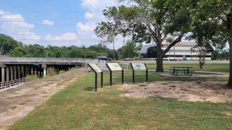
2. German Immigrants and the Way West Marker (middle marker)
Also see . . . Germans. Texas State Historical Association (TSHA)
The largest ethnic group in Texas derived directly from Europe was persons of German birth or descent. As early as 1850, they constituted more than 5 percent of the total Texas population, a proportion that remained constant through the remainder of the nineteenth century. Intermarriage has blurred ethnic lines, but the 1990 United States census revealed that 1,175,888 Texans claimed pure and 1,775,838 partial German ancestry, for a total of 2,951,726, or 17½ percent of the total population. By this count, Germans rank behind Hispanics and form the third-largest national-origin group in the state. Most(Submitted on August 14, 2024, by James Hulse of Medina, Texas.)persons of German descent do not regard themselves as ethnic Germans, however. From their first immigration to Texas in the 1830s, the Germans tended to cluster in ethnic enclaves. A majority settled in a broad, fragmented belt across the south central part of the state. This belt stretched from Galveston and Houston on the east to Kerrville, Mason, and Hondo in the west; from the fertile, humid Coastal Plain to the semiarid Hill Country. This German Belt included most of the Teutonic settlements in the state, both rural and urban.Photographed by James Hulse, August 11, 20243. The marker is located along Buffalo Bayou
Credits. This page was last revised on January 11, 2026. It was originally submitted on August 13, 2024, by James Hulse of Medina, Texas. This page has been viewed 447 times since then and 78 times this year. Photos: 1, 2, 3. submitted on August 14, 2024, by James Hulse of Medina, Texas.
