Liberty Grove in Ellison Bay in Door County, Wisconsin — The American Midwest (Great Lakes)
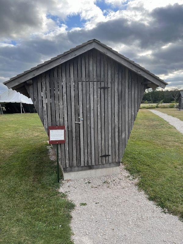
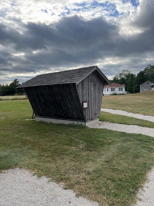
Corn Crib

Photographed by Sean Flynn, August 10, 2024
1. Corn Crib Marker
This corn crib was already old when it was given to the Fitzgeralds for their farm on Blackberry Rd. in the 1950s. For many years it held corn cobs, which were fed to livestock.
Later, Fitzgerald children used the corn crib to play "house".
Erected by Liberty Grove Historical Society.
Topics. This historical marker is listed in these topic lists: Agriculture • Architecture • Parks & Recreational Areas. A significant historical year for this entry is 1950.
Location. 45° 14.846′ N, 87° 5.11′ W. Marker is in Ellison Bay, Wisconsin, in Door County. It is in Liberty Grove. It is on State Highway 42 0.1 miles south of Humbug Road, on the left when traveling north. The marker is next to the corn crib on the site of the Liberty Grove Historical
this page online

Regionally, this marker is on Wisconsin’s Door Peninsula. It is also in the American Midwest and in the Corn Belt. Globally, it is in North America, on the Great Lakes, in the Western Hemisphere, in the Western World, and in the Anglosphere. Historically, it finds itself in what was once the territory of the Mississippian Culture and also the Northwest Territory.
Other nearby markers. At least 8 other markers are within walking distance of this marker: Rowleys Bay Bell (a few steps from this marker); Platform Swing (within shouting distance of this marker); Veterans Memorial / Circle of Honor / Heritage Walkway (within shouting distance
Photographed by Sean Flynn, August 9, 2024
2. Corn Crib
Regarding Corn Crib. Blackberry Road intersects with Wisconsin 42 about 1½ mile east of here; it runs for about 1½ miles due north from there until reaching Garrett Bay near the northern tip of the Door County Peninsula. The two corn crib donors, sisters Jeanette and Myrtle Fitzgerald, donated the item in 2006 and died in 2012 and 2018, respectively.
Also see . . . Liberty Grove Historical Society official site. (Submitted on August 13, 2024, by Sean P. Flynn of Oak Park, Illinois.)
Photographed by Sean Flynn, August 9, 2024
3. Corn Crib Marker
Credits. This page was last revised on August 13, 2024. It was originally submitted on August 13, 2024, by Sean P. Flynn of Oak Park, Illinois. This page has been viewed 119 times since then and 21 times this year. Photos: 1, 2, 3. submitted on August 13, 2024, by Sean P. Flynn of Oak Park, Illinois.
