
Near Winchester in Frederick County, Virginia — The American South (Mid-Atlantic)
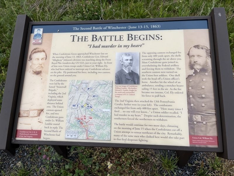
The Battle Begins: "I had murder in my heart"
The Second Battle of Winchester (June 13-15, 1863)
| — | Shenandoah Valley Battlefields National Historic District | — |
Photographed by T. Elizabeth Renich, June 7, 2022
1. The Second Battle of Winchester (June 13-15, 1863) Marker
The Confederates were led by the famed "Stonewall Brigade," including the 2nd Virginia, which deployed some distance behind you. The Union cannon opened fire, and two Confederate guns under Lt. William Lambie roared back in reply. The Second Battle of Winchester had begun.
The opposing cannon exchanged fire from only 400 yards apart, the shells screaming through the air above you. More Confederate guns joined in, overwhelming the Federal artillery and forcing them to withdraw. The southern cannon next turned on the Union foot soldiers. One shell took the head off a Union officer's horse. Another hit the wheel of an ambulance, sending a stretcher bearer sailing 15 feet in the air. As the fire became
this page online
The 2nd Virginia then attacked the 13th Pennsylvania Cavalry, farther west (to your left). The combatants exchanged fire from only 400 feet apart. "How many times I fired... no one will ever know..." a Union soldier recalled. "I had murder in my heart." Despite such determination, the southerners forced the northerners to withdraw.
The battle would continue for two more days, climaxing on the morning of June 15 when the Confederates cut off a Union attempt to retreat northeast of the city. Remarkably, many of the same men who clashed here would also take part in that final desperate fighting.
(captions)
Confederate Col. J.Q.A. Nadenbousch commander of the 2nd Virginia
Post-war image of Confederate William Lambie. His brother, Edward L. Lambie, fought for the north and commanded a company of U.S. Colored Troops.
Union Col. William Ely Image from Jonathan Noyalas private collection
(map) Johnson's Advance up the Front Royal Road
Erected by Shenandoah Valley Battlefields Foundation.
Topics. This historical marker is listed in this topic list: War, US Civil. A significant historical date for this entry is June 13, 1863.
Location. 39° 8.741′ N,
Photographed by T. Elizabeth Renich, June 7, 2022
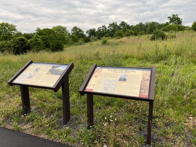
2. The Second Battle of Winchester (June 13-15, 1863) Marker

Regionally, this marker is in Virginia’s Shenandoah Valley. It is also in the American South, specifically in the Upper South, and in the Mid-Atlantic. Globally, it is in North America, the Western Hemisphere, the Western World, and the Anglosphere. Historically, it finds itself in what was once the territory of the Mississippian Culture, one of the original Thirteen Colonies, one of the Confederate States of America, and the Antebellum South.
Other nearby markers. At least 8 other markers are within 2 miles of this marker, measured as the crow flies: Second Winchester "Bringing fire and tempests on the world" (here, next to this marker); General Daniel Morgan / Winchester (approx. 1.2 miles away); "Dayton Kissing Rock" (approx. 1.4 miles away); The Peacemakers (approx. 1.4
Photographed by T. Elizabeth Renich, June 7, 2022
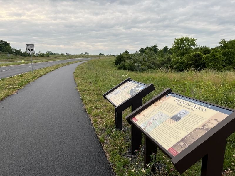
3. Marker located on Crosstrail Boulevard
Also see . . . Second Winchester Battlefield. Shenandoah Valley Battlefields Foundation (Submitted on June 8, 2022.)
Credits. This page was last revised on August 15, 2024. It was originally submitted on June 7, 2022, by T. Elizabeth Renich of Winchester, Virginia. This page has been viewed 443 times since then and 36 times this year. Last updated on August 15, 2024, by Carl Gordon Moore Jr. of North East, Maryland. Photos: 1, 2, 3. submitted on June 7, 2022, by T. Elizabeth Renich of Winchester, Virginia. • Bernard Fisher was the editor who published this page.
