White Bear Lake in Ramsey County, Minnesota — The American Midwest (Upper Plains)
Historic Lake Avenue
Photographed by McGhiever, July 26, 2024
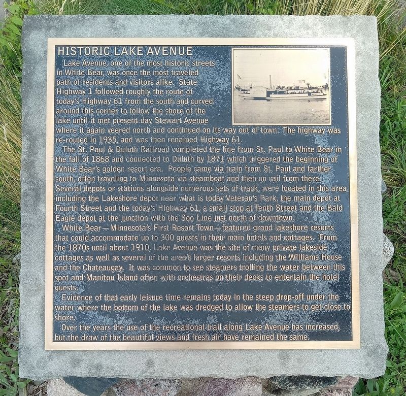
1. Historic Lake Avenue Marker
Lake Avenue, one of the most historic streets in White Bear, was once the most traveled path of residents and visitors alike. State Highway 1 followed roughly the route of today's highway 61 from the south and curved around this corner to follow the shore of the lake until it met present-day Stewart Avenue where it again veered north and continued on its way out of town. The highway was re-routed in 1935, and was then renamed Highway 61.
The St. Paul & Duluth Railroad completed the line from St. Paul to White Bear in the fall of 1868 and connected to Duluth by 1871 which triggered the beginning of White Bear's golden resort era. People came via train from St. Paul and farther south, often traveling to Minnesota via steamboat and then on rail from there. Several depots or stations along numerous sets of track, were located in this area including the Lakeshore depot near what is today Veteran's Park, the main depot at Fourth Street and the today's Highway 61, a small stop at Tenth Street and the Bald Eagle depot at the junction with the Soo Line just north of downtown.
White Bear—Minnesota's First Resort Town—featured
this page online
Evidence of that early leisure time remains today in the steep drop-off under the water where the bottom of the lake was dredged to allow the steamers to get close to shore.
Over the years the use of the recreational trail along Lake Avenue has increased, but the draw of the beautiful views and fresh air have remained the same.
Topics. This historical marker is listed in these topic lists: Entertainment • Railroads & Streetcars • Roads & Vehicles • Waterways & Vessels. A significant historical year for this entry is 1868.
Location. 45° 4.754′ N, 93° 0.904′ W. Marker is in White Bear Lake, Minnesota, in Ramsey County. It is at the intersection of Lake Avenue and U.S. 61, on the left
Photographed by McGhiever, July 26, 2024
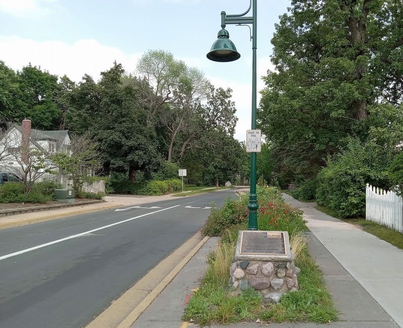
2. Historic Lake Avenue Marker near the western terminus of Lake Avenue

Regionally, this marker is in the Twin Cities Metropolitan Area. It is also in the American Midwest, in the Corn Belt, and in the Great River Road Region. Globally, it is in North America, the Western Hemisphere, the Western World, and the Anglosphere. Historically, it finds itself in what was once Rupert’s Land, the territory of the Mississippian Culture, and the Louisiana Purchase.
Other nearby markers. At least 8 other markers are within walking distance of this marker: American Indian Mounds (approx. 0.2 miles away); St. John in the Wilderness Episcopal Church (approx. 0.3 miles away); White Bear Lake Veterans Memorial (approx. 0.4 miles away); White Bear Lake Civil War Memorial (approx. 0.4 miles away); The Original Townsite Plat of White Bear Lake (approx. half a mile away); Fillebrown House (approx. 0.7 miles away); White Bear Lake / The Dakota Legend of White Bear Lake (approx. 0.9 miles away); Erd-Geist Gazebo (approx. 0.9 miles away). Touch for a list and map of all markers in White Bear Lake.
Credits. This page was last revised on August 17, 2024. It was originally submitted on August 17, 2024, by McGhiever of Minneapolis, Minnesota. This page has been viewed 205 times since then and 53 times this year. Photos: 1, 2. submitted on August 17, 2024, by McGhiever of Minneapolis, Minnesota.
