Palmer in Matanuska-Susitna Borough, Alaska — Northwest (North America)
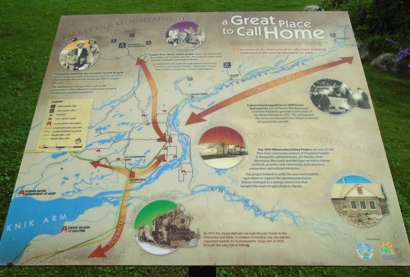
a Great Place to Call Home
Settling the Matanuska Valley
Photographed by William Fischer, Jr., August 12, 2024
1. a Great Place to Call Home Marker
The riches of the Matanuska River valley have sustained settlement in this area for thousands of years.
GOLD MINING
Prospectors went into the mountains to look for gold and minerals, and early trading posts were set up on the shores of Knik Arm and the Matanuska River to supply the area.
The development of large mines such as the Independence Mine (above) brought more economic activity and a growing population.
AHTNA MIGRATION
Copper River Ahtna native people found the Matanuska River Valley rich in game and fish, and a natural trade route between tidewater and interior Alaska.
A network of trails came through Palmer connecting numerous Athabascan villages. Those same routes were used by prospectors, traders and trappers.
COAL FIELDS
A government expedition in 1898 found coal reserves east of Palmer. The Matanuska coal fields helped to generate construction of the Alaska Railroad in 1915. The railroad and the mines contributed to the Valley's economic and population growth.
MATANUSKA COLONY - NO PLACE LIKE HOME
The 1935 Matanuska Colony Project was one of 104 New Deal community projects of President Franklin
this page online
This project helped to settle the area and establish agriculture to support the growing population. Palmer emerged as a strong community that remains the heart of agriculture in Alaska.
ALASKA RAILROAD
By 1917 the Alaska Railroad was built through Palmer to the Matanuska coal fields. In addition to hauling coal, the railroad expanded markets for homesteaders' crops and in 1935 brought the colonists to Palmer.
Erected by Palmer Museum and Matanuska Susitna Borough.
Topics. This historical marker is listed in these topic lists: Agriculture • Indigenous Peoples and Communities • Industry & Commerce • Settlements & Settlers. A significant historical year for this entry is 1898.
Location. 61° 35.903′ N, 149° 6.794′ W. Marker is in Palmer, Alaska, in Matanuska-Susitna Borough. It is on South Valley Way south of Elmwood Avenue, on the left when traveling south. Marker is on the Palmer Visitor Information Center grounds. Touch for map.
Photographed by William Fischer, Jr., August 12, 2024
2. a Great Place to Call Home Marker

Regionally, this marker is in the Alaska Railroad Corridor, in the Athabascan Region, in the Mat-Su Valley, and in Southcentral Alaska. It is also on the American Pacific Coast. Globally, it is in North America, on the Pacific Rim, in the Western Hemisphere, in the Western World, and in the Anglosphere. Historically, it finds itself in what was once the Russian Empire.
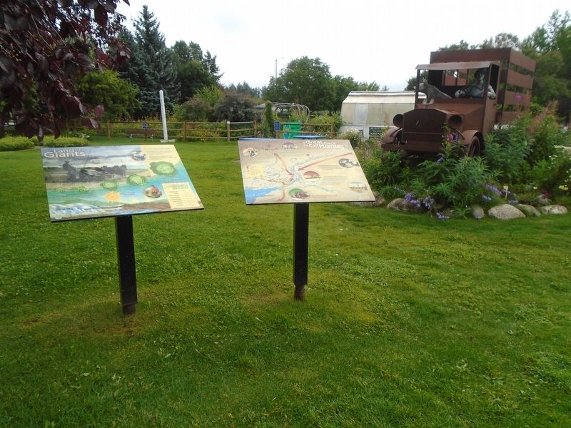
Other nearby markers. At least 8 other markers are within walking distance of this marker: Land of Giants (here, next to this marker); Welcome to the Cabbage Patch (a few steps from this marker); "Mat-Su Giants" (a few steps from this marker); a little town with BIG PLANS (a few steps from this marker); Balto (within shouting distance of this marker); Saroma-Cho, Japan and Palmer, Alaska (within shouting distance of this marker); Matanuska Colony Project (about 400 feet away, measured in a direct line); a different marker also named Matanuska Colony Project (about 400 feet away). Touch for a list and map of all markers in Palmer.
Also see . . .
1. Matanuska Valley Colony. Wikipedia entry (Submitted on August 17, 2026, by Larry Gertner of New York, New York.)
2. Alaska’s Matanuska Colony Lesson Plan. National Park Service website entry (Submitted on August 19, 2024, by William Fischer, Jr. of Reynoldsburg, Ohio.)
Credits. This page was last revised on August 17, 2026. It was originally submitted on August 19, 2024, by William Fischer, Jr. of Reynoldsburg, Ohio. This page has been viewed 175 times since then and 24 times this year. Photos: 1, 2. submitted on August 19, 2024, by William Fischer, Jr. of Reynoldsburg, Ohio.
