
Lake Station in Lake County, Indiana — The American Midwest (Great Lakes)
Potawatomi Trail
Photographed by Lou Donkle, July 1, 2024
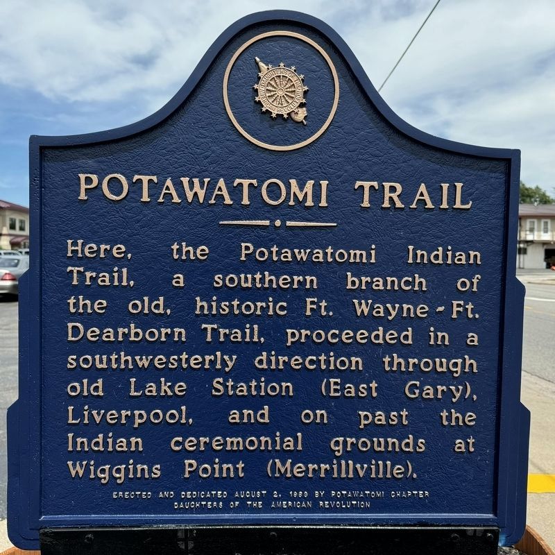
1. Potawatomi Trail Marker
Here, the Potawatomi Indian Trail, a southern branch of the old, historic Ft. Wayne - Ft. Dearborn Trail, proceeded in a southwesterly direction through old Lake Station (East Gary), Liverpool, and on past the Indian ceremonial grounds at Wiggins Point (Merrillville).
Erected 1969 by Potawatomi Chapter Daughters of the American Revolution.
Topics and series. This historical marker is listed in these topic lists: Indigenous Peoples and Communities • Roads & Vehicles. In addition, it is included in the Daughters of the American Revolution (DAR) series list. A significant historical date for this entry is August 2, 1969.
Location. 41° 34.336′ N, 87° 15.251′ W. Marker is in Lake Station, Indiana, in Lake County. It is on Central Avenue 0.1 miles west of Marion Street, on the right when traveling west. Touch for map. Marker is at or near this postal address: 2400 Central Ave, Lake Station IN 46405, United States of America. Touch for directions.

Regionally, this marker is in Northwest Indiana and in the Calumet Region. It is also in the American Midwest and in the Corn Belt. Globally, it is in North America, on the
this page online
Other nearby markers. At least 8 other markers are within 4 miles of this marker, measured as the crow flies: The Gary Water Tower (approx. 2½ miles away); Jacques Marquette (approx. 3 miles away); Marquette Pavilion (approx. 3.1 miles away); Hobart (Indiana) Patriotic Honor Rolls (approx. 3.1 miles away); Patterson Island (approx. 3.2 miles away); Octave Chanute (approx. 3.3 miles away); a different marker also named Octave Chanute (approx. 3.3 miles away); Octave Chanute 1832-1910 (approx. 3.3 miles away).

Photographed by Lou Donkle, July 10, 2022
2. Potawatomi Trail Marker
This is a photo of the marker prior to its restoration.
Photographed by Lou Donkle, July 1, 2024
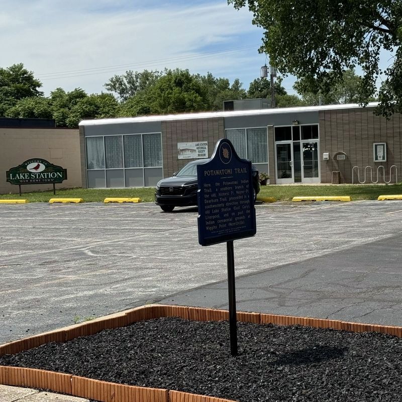
3. Marker in front of Lake Station Historical Society

Photographed by Lou Donkle, July 10, 2022
4. Potawatomi Trail Marker
This photo shows the marker prior in its original location. In 2024 the marker was moved from Ripley St to Central Ave in front of the Lake Station Historical Society, who also restored the marker.

Photographed by Lou Donkle, July 1, 2024
5. Lake Station Historical Society
Credits. This page was last revised on August 20, 2024. It was originally submitted on May 21, 2021, by Ted Grevstad-Nordbrock of Ames, Iowa. This page has been viewed 1,117 times since then and 64 times this year. Last updated on August 19, 2024, by Lou Donkle of Valparaiso, Indiana. Photos: 1. submitted on August 19, 2024, by Lou Donkle of Valparaiso, Indiana. 2. submitted on July 25, 2022, by Lou Donkle of Valparaiso, Indiana. 3. submitted on August 19, 2024, by Lou Donkle of Valparaiso, Indiana. 4. submitted on July 25, 2022, by Lou Donkle of Valparaiso, Indiana. 5. submitted on August 19, 2024, by Lou Donkle of Valparaiso, Indiana. • Devry Becker Jones was the editor who published this page.
