
Porter in Porter County, Indiana — The American Midwest (Great Lakes)
History of the Dunes
Photographed by Lou Donkle, August 16, 2024
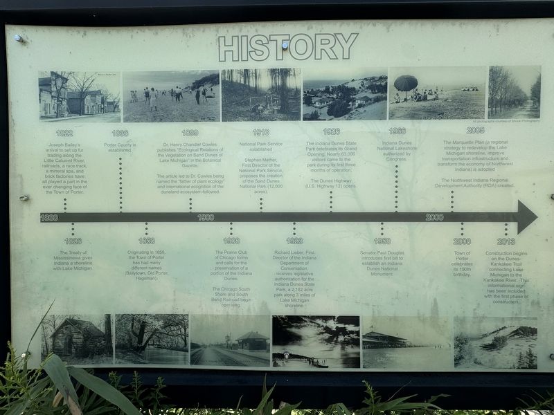
1. History of the Dunes Marker
1800
1822 - Joseph Bailey's arrival to set up fur trading along the Little Calumet River, railroads, a race track, a mineral spa, and brick factories have all played a part in the ever changing face of the Town of Porter.
1826 - The Treaty of Mississinewa gives Indiana a shoreline with Lake Michigan.
1836 - Porter County is established.
1858 - Originating in 1858, the Town of Porter has had many different names (Bailytown, Old Porter, Hageman).
1899 - Dr. Henry Chandler Cowles publishes "Ecological Relations of the Vegetation on Sand Dunes of Lake Michigan" in the Botanical Gazette .The article led to Dr. Cowles being named the "father of plant ecology" and international recognition of the duneland ecosystem followed.
1900
1908 - The Prairie Club of Chicago forms and calls for the preservation of a portion of the Indiana Dunes. The Chicago South Shore and South Bend Railroad begin operating.
1916 - National Park Service established Stephen Mather, First Director of the National Park Service, proposes the creation of the Sand Dunes National Park (12,000 acres).
1926 - The Indiana Dunes State Park celebrates
this page online
1923 - Richard Lieber, First Director of the Indiana Department of Conservation, receives legislative authorization for the Indiana Dunes State Park, a 2,182 acre park along 3 miles of Lake Michigan shoreline.
1958 - Senator Paul Douglas introduces first bill to establish an Indiana Dunes National Monument.
1966 - Indiana Dunes National Lakeshore authorized by Congress.
2000
2005 - The Marquette Plan (a regional strategy to redevelop the Lake Michigan shoreline, improve transportation infrastructure and transform the economy of Northwest Indiana) is adopted. The Northwest Indiana Regional Development Authority (RDA) created.
2008 - Town of Porter celebrates its 150th birthday.
2013 - Construction begins on the Dunes-Kankakee Trail connecting Lake Michigan to the Kankakee River. This informational sign has been included with the first phase of construction.
Erected 2013 by Northwest Indiana Regional Development Authority (RDA).
Topics and series. This historical marker is
Photographed by Lou Donkle, August 16, 2024
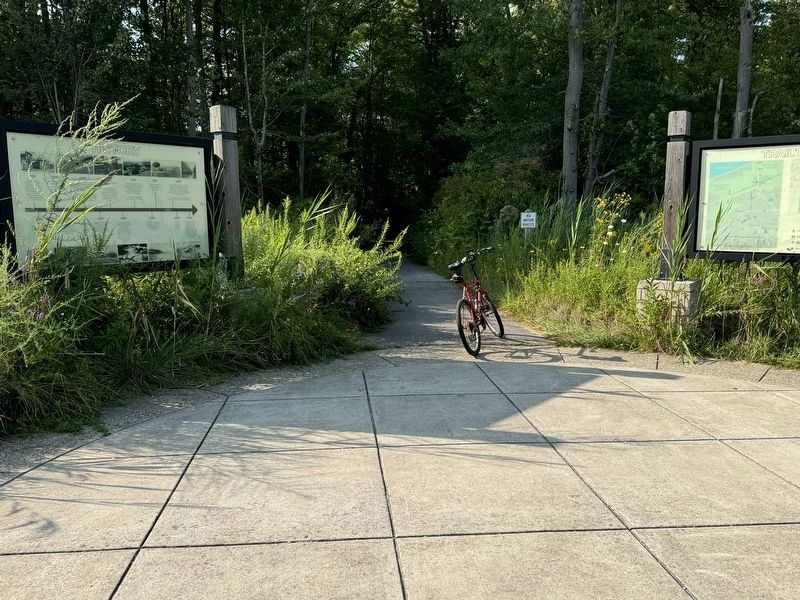
2. Marker located on trailhead just north of the Dune Park South Shore station
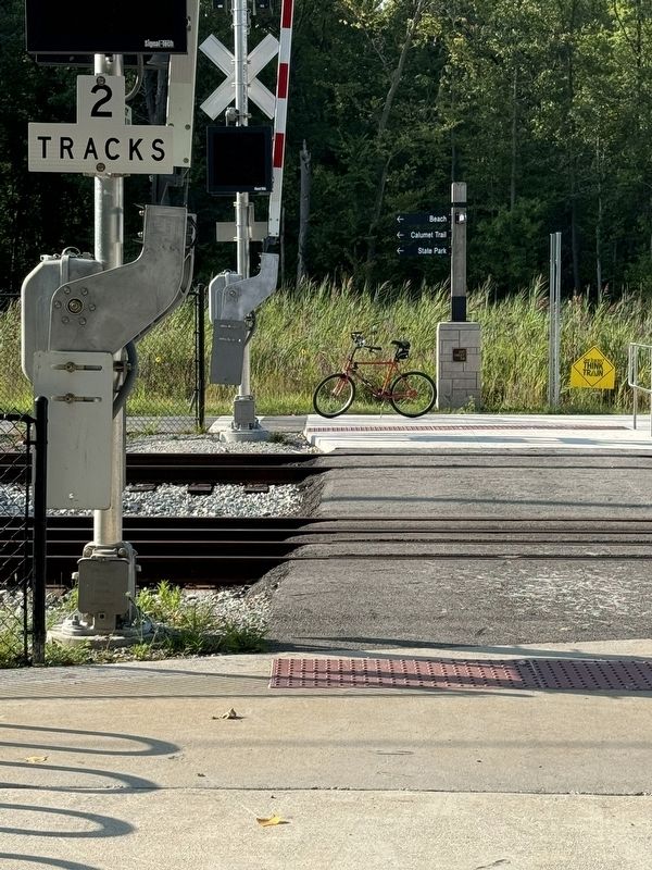
Location. 41° 38.697′ N, 87° 3.718′ W. Marker is in Porter, Indiana, in Porter County. It can be reached from Calumet Trail east of Indiana Route 49, on the left when traveling east. The marker stands at the Dune Park South Shore Line train station at the west end of the platform north of the tracks at the pedestrian railroad crossing. Touch for map. Marker is at or near this postal address: 1068 W Dunes Hwy, Chesterton IN 46304, United States of America. Touch for directions.

Regionally, this marker is in Northwest Indiana, specifically on the Indiana Dunes and Lake Michigan Shore, and in the Calumet Region. It is also in the American Midwest and in the Corn Belt. Globally, it is in North America, on the Great Lakes, in the Western Hemisphere, in the Western World, and in the Anglosphere. Historically, it finds itself in what was once the territory of the Mississippian
Photographed by Lou Donkle, August 16, 2024
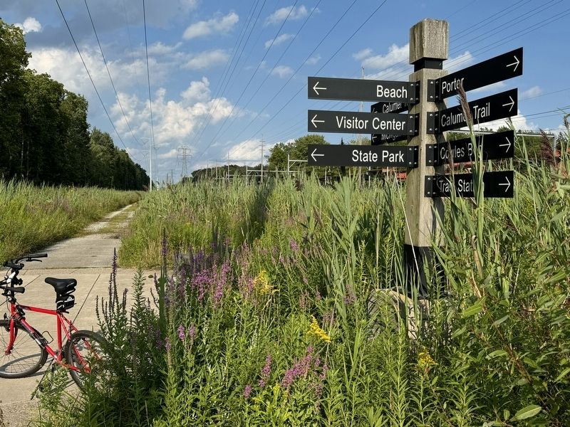
3. Trail markers at trailhead
Other nearby markers. At least 8 other markers are within one mile of this marker, measured as the crow flies: Dunes Hi-Way (approx. 0.2 miles away); Indiana State Police Dunes Park Post #1 (approx. 0.7 miles away); Iron Brigade (approx. 0.7 miles away); Indiana State Parks: the First 100 Years 1916-2016 (approx. 0.8 miles away); Firepit Pattern (approx. 0.9 miles away); Indiana Dunes Indigenous Cultural Trail (approx. 0.9 miles away); Daylighting: Getting Dunes Creek Out of the Pipe (approx. 1.1 miles away); "Works of a Public Nature" (approx. 1.1 miles away). Touch for a list and map of all markers in Porter.
Photographed by Lou Donkle, August 16, 2024
4. Pedestrian crossing from train station to trailhead and History Marker
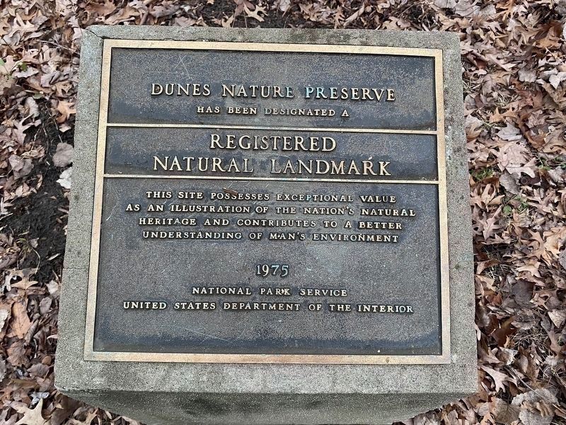
Photographed by Lou Donkle, January 8, 2024
5. National Natural Landmark plaque for the dunes
Credits. This page was last revised on August 25, 2024. It was originally submitted on August 20, 2024, by Lou Donkle of Valparaiso, Indiana. This page has been viewed 262 times since then and 42 times this year. Photos: 1, 2, 3, 4. submitted on August 20, 2024, by Lou Donkle of Valparaiso, Indiana. 5. submitted on August 22, 2024, by Lou Donkle of Valparaiso, Indiana. • Devry Becker Jones was the editor who published this page.
