Sutton-Alpine in Matanuska-Susitna Borough, Alaska — Northwest (North America)
Matanuska River
Photographed by William Fischer, Jr., August 13, 2024
1. Matanuska River Marker
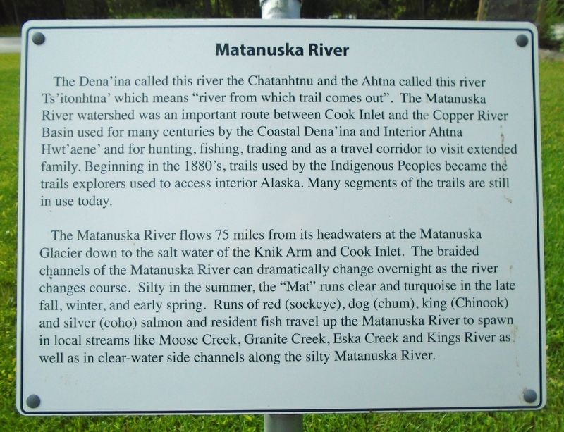
The Dena'ina called this river the Chatanhtnu and the Ahtna called this river Ts'itonhtna' which means "river from which trail comes out". The Matanuska River watershed was an important route between Cook Inlet and the Copper River Basin used for many centuries by the Coastal Dena'ina and Interior Ahtna Hwt'aene' and for hunting, fishing, trading and as a travel corridor to visit extended family. Beginning in the 1880's, trails used by the Indigenous Peoples became the trails explorers used to access interior Alaska. Many segments of the trails are still in use today.
The Matanuska River flows 75 miles from its headwaters at the Matanuska Glacier down to the salt water of the Knik Arm and Cook Inlet. The braided channels of the Matanuska River can dramatically change overnight as the river changes course. Silty in the summer, the "Mat" runs clear and turquoise in the late fall, winter, and early spring. Runs of red (sockeye), dog (chum), king (Chinook) and silver (coho) salmon and resident fish travel up the Matanuska River to spawn in local streams like Moose Creek, Granite Creek, Eska Creek and Kings River
this page online
Erected by Alpine Historical Park.
Topics. This historical marker is listed in these topic lists: Indigenous Peoples and Communities • Settlements & Settlers • Waterways & Vessels.
Location. 61° 42.591′ N, 148° 52.555′ W. Marker is in Sutton-Alpine, Alaska, in Matanuska-Susitna Borough. It is on Glenn Highway (State Highway 1 at milepost 61.6) east of Chickaloon Way, on the left when traveling east. Marker is in Alpine Historical Park. Touch for map. Marker is at or near this postal address: 11266 Chickaloon Way, Sutton AK 99674, United States of America. Touch for directions.

Regionally, this marker is in the Alaska Railroad Corridor, in the Athabascan Region, in the Mat-Su Valley, and in Southcentral Alaska. It is also on the American Pacific Coast. Globally, it is in North America, on the Pacific Rim, in the Western Hemisphere, in the Western World, and in the Anglosphere. Historically, it finds itself in what was once the Russian Empire.
Other nearby markers. At least 8 other

Photographed by William Fischer, Jr., August 13, 2024
2. Matanuska River Marker
Also see . . . Matanuska River. Wikipedia entry (Submitted on November 5, 2025, by Larry Gertner of New York, New York.)
Credits. This page was last revised on November 5, 2025. It was originally submitted on August 23, 2024, by William Fischer, Jr. of Reynoldsburg, Ohio. This page has been viewed 169 times since then and 22 times this year. Photos: 1, 2. submitted on August 23, 2024, by William Fischer, Jr. of Reynoldsburg, Ohio.
