
Near West Augusta in Highland County, Virginia — The American South (Mid-Atlantic)
“The Shenandoah Mountain Pass is grand indeed…”
Confederate Breastworks Trail

Photographed by Devry Becker Jones (CC0), August 8, 2026
1. “The Shenandoah Mountain Pass is grand indeed…” Marker
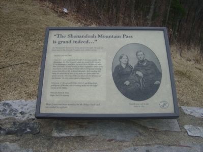
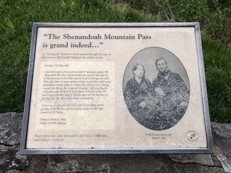
As “Stonewall” Jackson’s Army passed through the gap on their way to McDowell, Virginia one soldier wrote:
Tuesday 13th May 1862
I have been struck with the wild & mountain scenery. The Shenandoah Mt. Pass is grand indeed, you asend to the very top of the mountain & from there you see as far as the eyes can reach, Mtn. after Mtn. in every variety of shape & grandeur whilst away down below a little valley & stream with winding road, winding around from Mt. to Mt. to descend the grade. After reaching this valley we asend the hd waters of the James to a point where the waters turn the other way & then we discerned the hdwaters of the Potomac. The Mts. tower above us beautifully.
Every now & then you will find a fresh & sparkling stream gushing out of the mtn. side & running away into the larger streams of the Valley….
Diary of Frank B. Jones
Major, 2nd VA Infantry
Major Jones was later wounded at McGehee’s Mill and succumbed to typhoid.
Erected by Forest Service, U.S. Department of Agriculture.
Topics. This historical marker is listed in these topic lists: Natural Features • War, US Civil. A significant historical date for this entry is May 13, 1862.
Location. 38° 18.689′ N,
this page online

Regionally, this marker is in Virginia’s Shenandoah Valley, in the Alleghany Highlands, and specifically in the Potomac Highlands. It is also in the American South, specifically in the Upper South, in Appalachia, and specifically in Southern Appalachia. Globally, it is in North America, the Western Hemisphere, the Western World, and the Anglosphere. Historically, it finds itself in what was once the territory of the Mississippian Culture, one of the original Thirteen Colonies, one of the Confederate States of America, and the Antebellum South.
Other nearby markers. At least 8 other markers are within walking distance of this marker: Highland County / Augusta County (a few steps from this marker); Confederate Breastworks Trail (a few steps from
Photographed by Robert H. Moore, II, February 27, 2009
2. “The Shenandoah Mountain Pass is grand indeed…” Marker
This is a previous iteration of the marker. Note that it is identical to the current version but has weathered slightly.
Another marker is no longer nearby. Confederate Breastworks Interpretive Trail (was a few steps from this marker but has been replaced with another marker now near it).
More about this marker. On the right side of the marker is a photograph of Frank B. Jones and his wife Susan in 1853.
Related markers. Click here for a list of markers that are related to this marker. To better understand the relationship, study each marker in the order shown.
Photographed by Devry Becker Jones (CC0), May 8, 2021
3. “The Shenandoah Mountain Pass is grand indeed…” Marker
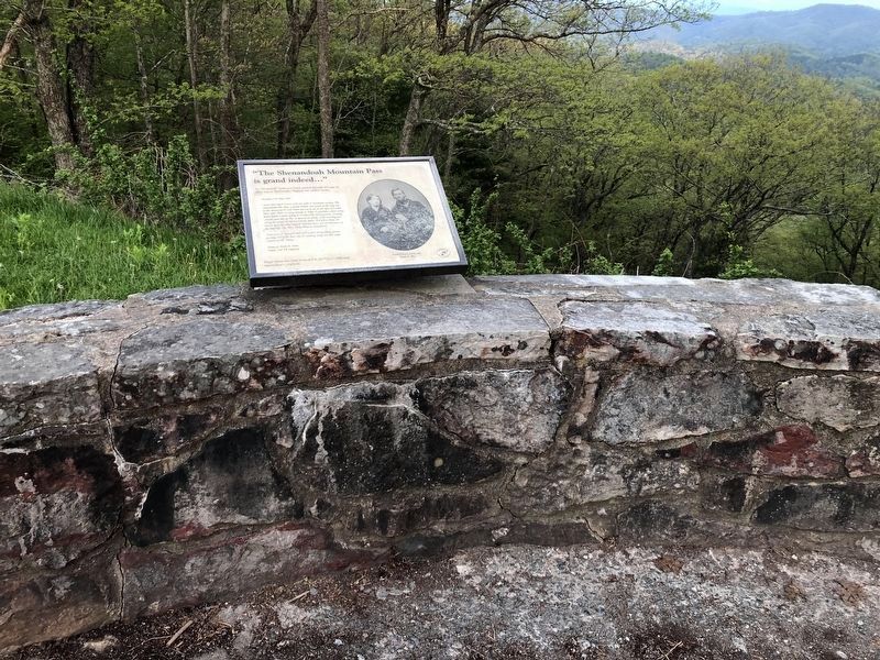
The marker has weathered.
Photographed by Devry Becker Jones (CC0), May 8, 2021
4. “The Shenandoah Mountain Pass is grand indeed…” Marker
Credits. This page was last revised on August 8, 2026. It was originally submitted on March 6, 2009, by Robert H. Moore, II of Winchester, Virginia. This page has been viewed 1,576 times since then and 23 times this year. Last updated on August 24, 2024, by Carl Gordon Moore Jr. of North East, Maryland. Photos: 1. submitted on August 8, 2026, by Devry Becker Jones of Washington, District of Columbia. 2. submitted on March 6, 2009, by Robert H. Moore, II of Winchester, Virginia. 3, 4. submitted on May 8, 2021, by Devry Becker Jones of Washington, District of Columbia. • Bernard Fisher was the editor who published this page.
