
Memphis in Shelby County, Tennessee — The American South (East South Central)
Helena, Arkansas
⎯⎯⎯
Prairie Point
Mississippi River Walk
Photographed by Jason Voigt, August 2, 2024
1. Helena, Arkansas/Prairie Point Marker
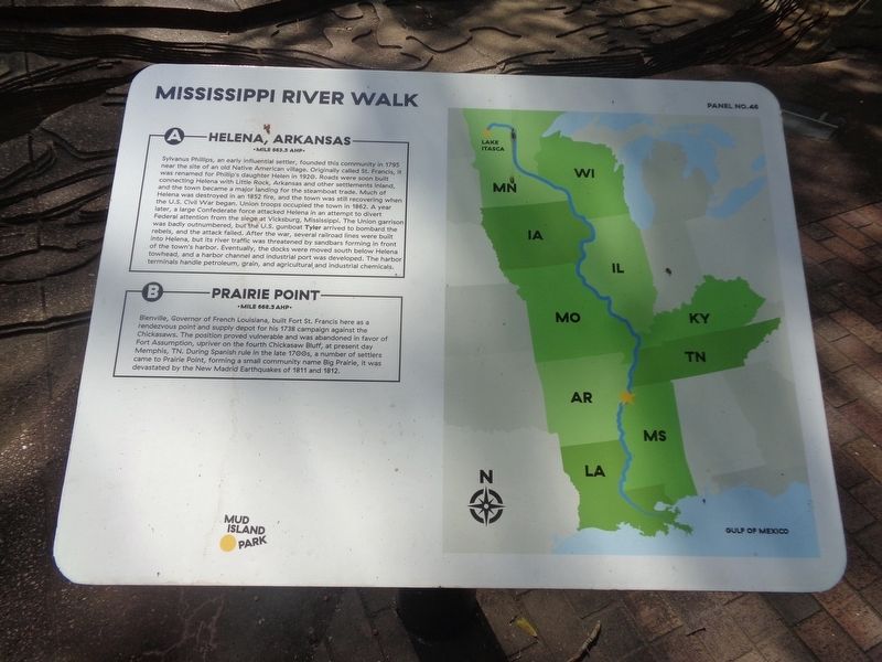
A) Helena, Arkansas
Mile 663.5 AHP
Sylvanus Phillips, an early influential settler, founded this community in 1795 near the site of an old Native American village. Originally called St. Francis, it was renamed for Phillip's daughter Helen in 1920. Roads were soon built connecting Helena with Little Rock, Arkansas and other settlements inland, and the town became a major landing for the steamboat trade. Much of Helena was destroyed in an 1852 fire, and the town was still recovering when the U.S. Civil War began. Union troops occupied the town in 1862. A year later, a large Confederate force attacked Helena in an attempt to divert Federal attention from the siege at Vicksburg, Mississippi. The Union garrison was badly outnumbered, but the U.S. gunboat Tyler arrived to bombard the rebels, and the attack failed. After the war, several railroad lines were built into Helena, but its river traffic was threatened by sandbars forming in front of the town's harbor. Eventually, the docks were moved south below Helena towhead, and a harbor channel and industrial port was developed. The harbor terminals handle petroleum, grain,
this page online
B) Prairie Point
Mile 668.5 AHP
Bienville, Governor of French Louisiana, built Fort St. Francis here as a rendezvous point and supply depot for his 1738 campaign against the Chickasaws. The position proved vulnerable and was abandoned in favor of Fort Assumption, upriver on the fourth Chickasaw Bluff, at present day Memphis, TN. During Spanish rule in the late 1700s, a number of settlers came to Prairie Point, forming a small community name Big Prairie, it was devastated by the New Madrid Earthquakes of 1811 and 1812.
Erected by Mud Island Park. (Marker Number 46.)
Topics. This historical marker is listed in these topic lists: Disasters • Settlements & Settlers • War, US Civil • Waterways & Vessels. A significant historical year for this entry is 1795.
Location. 35° 8.922′ N, 90° 3.547′ W. Marker is in Memphis, Tennessee, in Shelby County. It can be reached from Island Drive. Marker is located at Mud Island Park. Touch for map. Marker is in this post office area: Memphis TN 38103, United States of America. Touch for directions.

Regionally, this marker is in West Tennessee.
Photographed by Jason Voigt, August 2, 2024
2. Helena, Arkansas/Prairie Point Marker
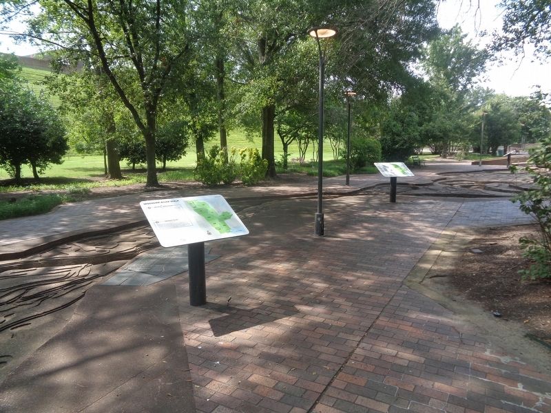
Marker is on the left
Other nearby markers. At least 8 other markers are within walking distance of this marker: Horseshoe Cutoff/Friars Point, Mississippi/Yazoo Pass (here, next to this marker); St. Francis River/Hardin Cutoff/Whitehall Crevasse (a few steps from this marker); Island No. 63/Island No. 62/Old Town Bend (a few steps from this marker); Commerce, Mississippi/Buck Island No. 53/Norfolk Landing, Mississippi (a few steps from this marker); Sunflower Cutoff/Jackson Cutoff (within shouting distance of this marker); Victoria Bend/Montgomery Post, Arkansas/Arkansas Post/Concordia Bend (within shouting distance of this marker); Cow Islands No. 47 and No. 48/West Memphis, Arkansas/President's Island No. 45 (within shouting distance of this marker); Hopefield Point, Arkansas/Chicken Island/Redman Point (within shouting distance of this marker). Touch for a list and map of all markers in Memphis.
Credits. This page was last revised on November 11, 2024. It was originally submitted on August 24, 2024, by Jason Voigt of Glen Carbon, Illinois. This page has been viewed 457 times since then and 37 times this year. Photos: 1, 2. submitted on August 24, 2024, by Jason Voigt of Glen Carbon, Illinois.
