
Gap Mills in Monroe County, West Virginia — The American South (Appalachia)
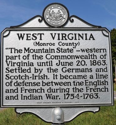
West Virginia
(Monroe County)
⎯⎯⎯
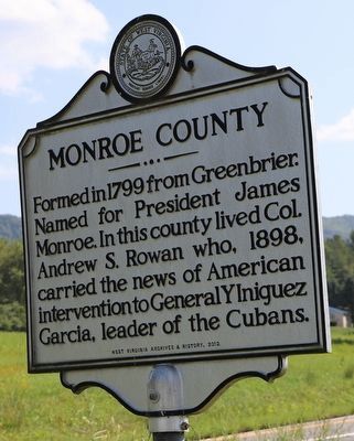
Monroe County
Photographed by Dave W, August 25, 2024
1. West Virginia side of marker
West Virginia. (Monroe County). "The Mountain State" - western part of the Commonwealth of Virginia until June 20, 1863. Settled by the Germans and Scotch-Irish. It became a line of defense between the English and French during the French and Indian War, 1754-1763.
Monroe County. Formed in 1799 from Greenbrier. Named for President James Monroe. In this county lived Col. Andrew S. Rowan who, 1898, carried the news of American intervention to General YIniquez Garcia, leader of the Cubans.
Erected 2012 by West Virginia Archives & History.
Topics and series. This historical marker is listed in these topic lists: Immigration • Settlements & Settlers • War, French and Indian • War, Spanish-American. In addition, it is included in the West Virginia Archives and History series list. A significant historical date for this entry is June 20, 1863.
Location. 37° 37.592′ N, 80° 14.79′ W. Marker is in Gap Mills, West Virginia, in Monroe County. It is at the intersection of Sweet Springs Valley Road (West Virginia Route 3) and Peters Mountain Road ( Route 311), on the right when traveling east on Sweet Springs Valley Road.
this page online

Regionally, this marker is in the Southern Coalfields. It is also in the American South, specifically in the Upper South, in Appalachia, and specifically in Southern Appalachia. Globally, it is in North America, the Western Hemisphere, the Western World, and the Anglosphere. Historically, it finds itself in what was once the territory of the Mississippian Culture.
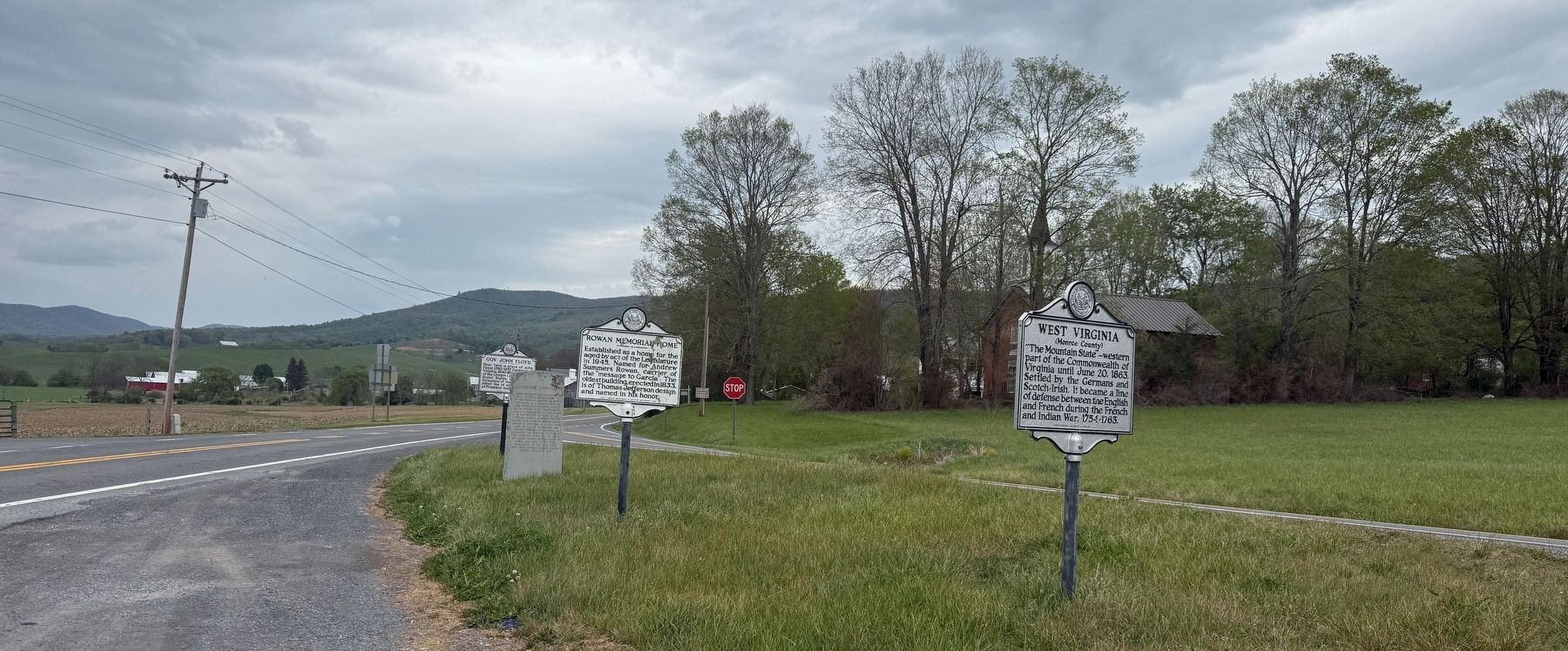
Other nearby markers. At least 8 other markers are within 5 miles of this marker, measured as the crow flies: Governor John Floyd (a few steps from this marker); Rowan Memorial Home (a few steps from this marker); Gov. John Floyd (within shouting distance of this marker); Ann Royall / Sweet Springs (approx. 0.3 miles away); Boundary Monument (approx. 0.9 miles away in Virginia); Governor John Floyd's Grave (approx. 0.9 miles away in Virginia); Alleghany County / West Virginia (approx. 0.9 miles away in Virginia); The Tale Of Tingler's Mill (approx. 4.2 miles away in Virginia).
Another marker is no longer
Photographed by Dave W, August 25, 2024
2. Monroe County side of marker
Photographed by Dave W, August 25, 2024
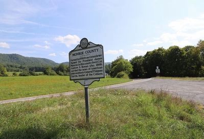
4. West Virginia / Monroe County Marker
Credits. This page was last revised on April 28, 2026. It was originally submitted on August 25, 2024, by Dave W of Co, Colorado. This page has been viewed 219 times since then and 32 times this year. Photos: 1, 2. submitted on August 25, 2024, by Dave W of Co, Colorado. 3. submitted on April 28, 2026, by Devry Becker Jones of Washington, District of Columbia. 4. submitted on August 25, 2024, by Dave W of Co, Colorado. • Devry Becker Jones was the editor who published this page.
