
Heron Bay in Thunder Bay District, Ontario — Central Canada (North America)
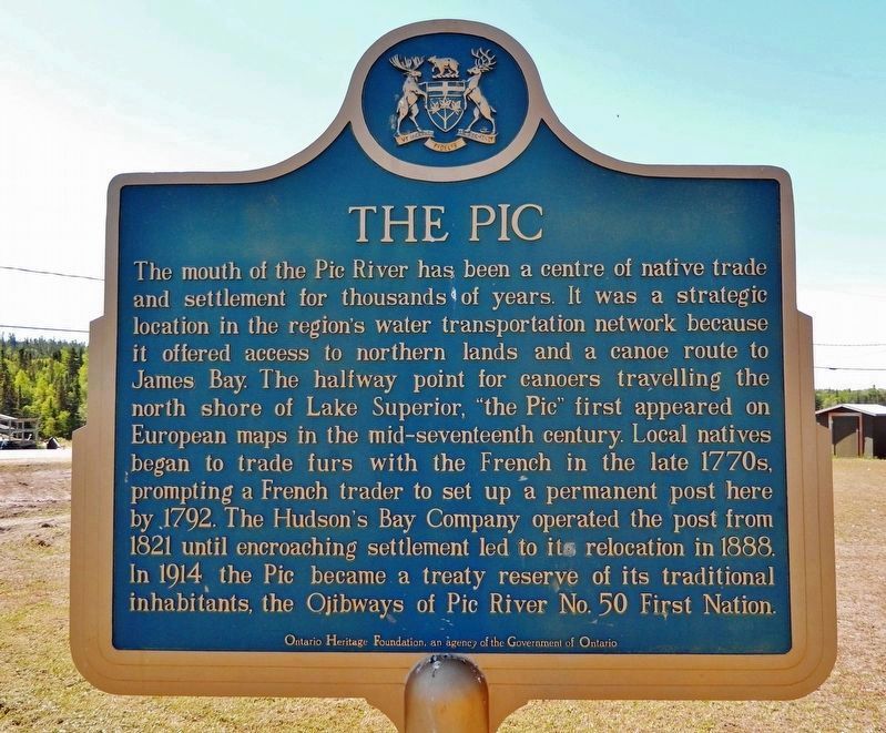
The Pic
⎯⎯⎯
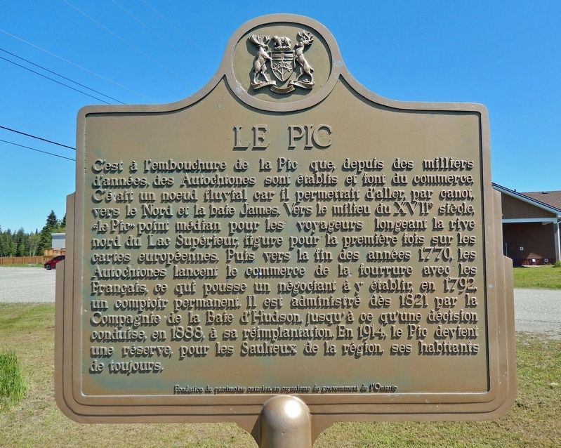
Le pic
Photographed by Cosmos Mariner, June 14, 2024
1. The Pic (marker north side)

this page online
Erected by Ontario Heritage Foundation / Fondation du patrimoine ontarien.
Topics and series. This historical marker is listed in these topic lists: Indigenous Peoples and Communities • Industry & Commerce • Waterways & Vessels. In addition, it is included in the Canada, Ontario Heritage Trust series list. A significant historical year for this entry is 1792.
Location. 48° 37.441′ N, 86° 16.15′ W. Marker is in Heron Bay, Ontario, in Thunder Bay District. It is at the intersection of Pic River Road and Fox Street, on the left when traveling south on Pic River Road. Touch for map. Marker is in this post office area: Heron Bay ON P0T 1R0, Canada. Touch for directions.

Regionally, this marker
Photographed by Cosmos Mariner, June 14, 2024
2. Le pic (marker south side)
Also see . . .
1. Pic River (Lake Superior Circle Tour).
Excerpt: Pic River is located near Marathon in Ontario’s Superior Country. It is the reservation of the Biigtigong Nishnaabeg – Ojibways of the Pic River First Nation on the northern shore of Lake Superior at the mouth of the Pic River. Pic River is home to many wild Northern Ontario species such as the beaver, moose, woodland caribou, wolf, black bear, white tailed and red tailed hawk, bald eagle, northern flicker, and many arctic alpine plants. The shores of Pic River are dominated by the mass sandy dunes on the Little Pic River, which translates to “little muddy.”(Submitted on August 27, 2024, by Cosmos Mariner of Cape Canaveral, Florida.)
2. Biigtigong Nishnaabeg (Wikipedia).
Photographed by Cosmos Mariner, June 14, 2024
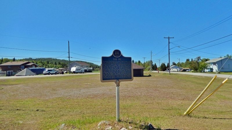
3. The Pic (marker north side)
Looking south; Pic River Road is on the right.
Excerpt: Biigtigong Nishnaabeg is an Ojibway (Anishinaabe) First Nation on the northern shore of Lake Superior. It is sometimes referred to as Ojibways of the Pic River First Nation (or "Pic River" for short). The community is located on the northern shore of Lake Superior at the mouth of the Pic River and is called Pic River 50. In November 2007, their total registered population was 964 people, of which their on-reserve population was 480.(Submitted on August 27, 2024, by Cosmos Mariner of Cape Canaveral, Florida.)
3. Peninsula, the Pic River Region, and Modern Marathon.
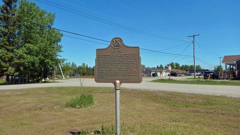
Excerpt: Just when the first trading post was established in the immediate vicinity of Peninsula Bay is uncertain. None is mentioned by Alexander Henry, a famous English colonial explorer and trader, who visited the mouth of Pic River, some ten miles south of Peninsula Bay, in June, 1775, and reported his impressions of the “Pijitic” River, as he called it; “a band of Wood Indians” living on the river, “who are sometimes troublesome to the traders passing”; and the general aspect of the countryside. By 1790, however, there must have been a fort at the(Submitted on August 27, 2024, by Cosmos Mariner of Cape Canaveral, Florida.)Pic, for Count Andreani, of aviation fame, was on Lake Superior that year and reported that the Pic district produced “30 bundles of fine peltry.”Photographed by Cosmos Mariner, June 14, 20244. Le pic (marker south side)Looking north; Pic River Road is on the left and Fox Street is on the right.
Credits. This page was last revised on August 27, 2024. It was originally submitted on August 25, 2024, by Cosmos Mariner of Cape Canaveral, Florida. This page has been viewed 242 times since then and 61 times this year. Photos: 1, 2, 3, 4. submitted on August 26, 2024, by Cosmos Mariner of Cape Canaveral, Florida.
