Wakulla Springs in Wakulla County, Florida — The American South (South Atlantic)
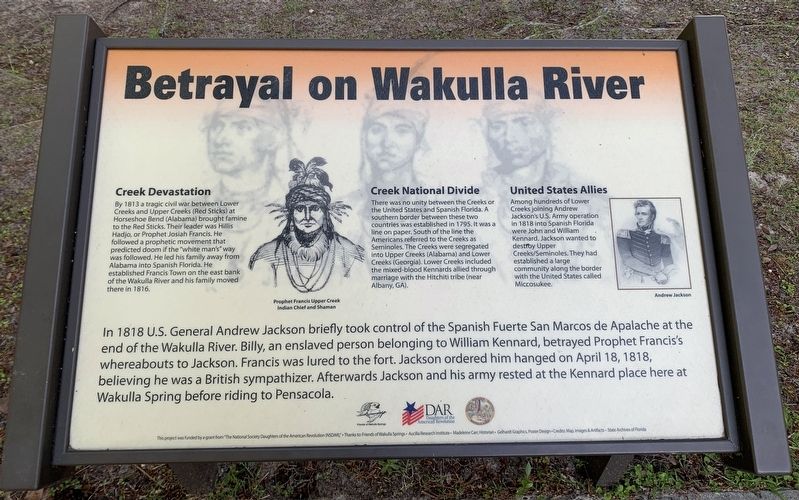
Betrayal on Wakulla River
Photographed by Tim Fillmon, April 4, 2024
1. Betrayal on Wakulla River Marker
Creek Devastation
By 1813 a tragic civil war between Lower Creeks and Upper Creeks (Red Sticks) at Horseshoe Bend (Alabama) brought famine to the Red Sticks. Their leader was Hillis Hadjo, or Prophet Josiah Francis. He followed a prophetic movement that predicted doom if the white man's way was followed. He led his family away from Alabama into Spanish Florida. He established Francis Town on the of the Wakulla River and his family moved there in 1816.
Creek National Divide
There was no unity between the Creeks or the United States and Spanish Florida. A southern border between these two countries was established in 1795. It was a line on paper. South of the line the Americans referred to the Creeks as Seminoles. The Creeks were segregated into Upper Creeks (Alabama) and Lower Creeks (Georgia). Lower Creeks included the mixed-blood Kennards allied through marriage with the Hitchiti tribe (near Albany, GA).
United States Allies
Among hundreds of Lower Creeks joining Andrew Jackson's U.S. Army operation in 1818 into Spanish Florida were John and Willam Kennard. Jackson wanted to destroy Upper Creeks/Seminoles.
this page online
In 1818 U.S. General Andrew Jackson briefly took control of the Spanish Fuerte San Marcos de Apalache at the end of the Wakulla River. Billy, an enslaved person belonging to William Kennard, betrayed Prophet Francis's whereabouts to Jackson. Francis was lured to the fort. Jackson ordered him hanged on April 18, 1818, believing he was a British sympathizer. Afterwards Jackson and his army rested at the Kennard place here at Wakulla Spring before to Pensacola.
Erected by NSDAR, Friends of Wakulla Springs, Aucilla Research Institute.
Topics. This historical marker is listed in these topic lists: Indigenous Peoples and Communities • Wars, US Indian. A significant historical year for this entry is 1813.
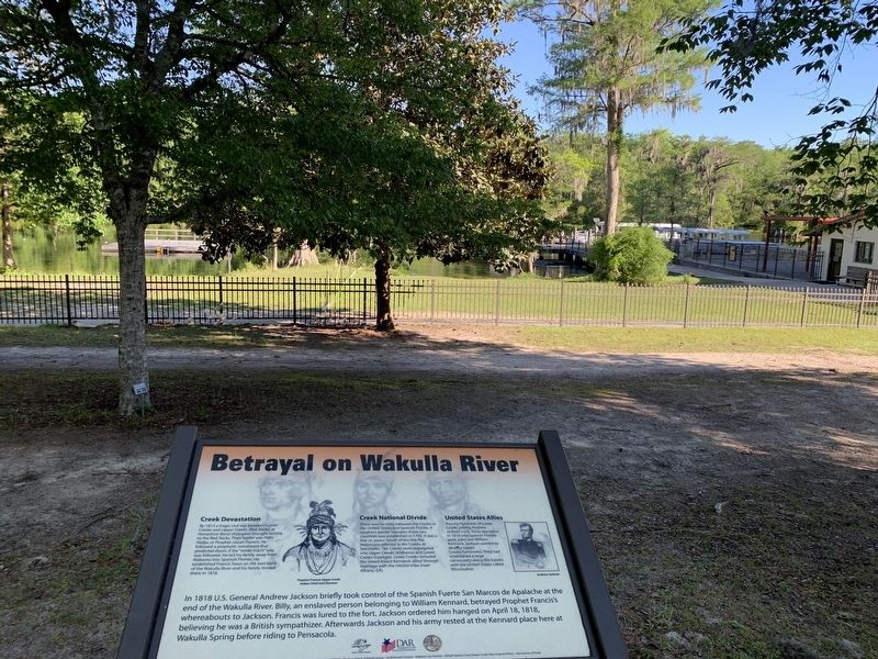
Location. 30° 14.088′ N, 84° 18.08′ W. Marker is in Wakulla Springs, Florida, in Wakulla County. It can be reached from Wakulla Lodge Drive half a mile north of Wakulla Springs Road. Marker can be found in Edward Ball Wakulla Springs State Park between the lodge and spring. Touch for map. Marker is at or near this postal address:
Photographed by Tim Fillmon, April 4, 2024
2. Betrayal on Wakulla River Marker

Regionally, this marker is in Greater Tallahassee. It is also in the American South, specifically in the Deep South, and on the Gulf Coast. Globally, it is in the North Atlantic Region, North America, a Gulf of Mexico state, the Western Hemisphere, the Western World, and the Anglosphere. Historically, it finds itself in what was once New Spain, the territory of the Mississippian Culture, one of the Confederate States of America, and the Antebellum South.
Other nearby markers. At least 8 other markers are within 8 miles of this marker, measured as the crow flies: Toward Statehood at Wakulla Springs (within shouting distance of this marker); Edward Ball (within shouting distance of this marker); A Point in Prehistory (within shouting distance of this marker); Wakulla Springs Archaeological & Historic District (about 300 feet away, measured in a direct line); Supplies Are Low (approx. 4 miles away); Old Wakulla County Jail (approx. 6.1 miles away); Old Wakulla County Courthouse (approx. 6.1 miles away); Tallahassee - St. Marks Railroad (approx. 7.6 miles away). Touch for a list and map of all markers in Wakulla Springs.
Also see . . . Edward Ball Wakulla Springs State Park. (Submitted on August 26, 2024, by Tim Fillmon of Webster, Florida.)
Credits. This page was last revised on August 26, 2024. It was originally submitted on August 26, 2024, by Tim Fillmon of Webster, Florida. This page has been viewed 541 times since then and 79 times this year. Photos: 1, 2. submitted on August 26, 2024, by Tim Fillmon of Webster, Florida.
