Port Bruce in Elgin County, Ontario — Central Canada (North America)
Port Bruce Site of the Royal Salute
August 25, 1761
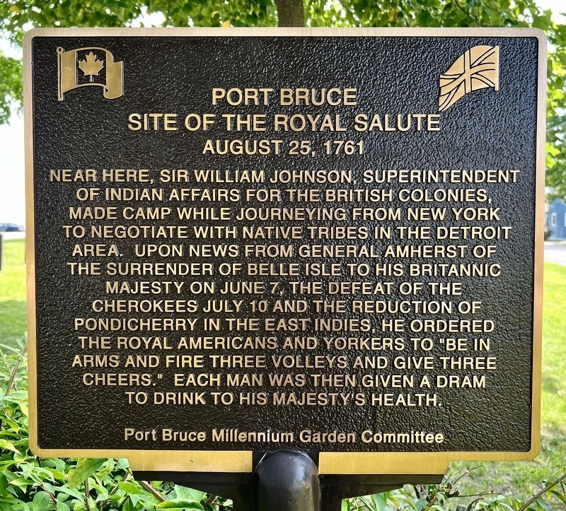
Photographed by Tim Boyd, August 23, 2024
1. Port Bruce Site of the Royal Salute Marker
Erected by Port Bruce Millennium Garden Committee.
Topics. This historical marker is listed in these topic lists: Indigenous Peoples and Communities • War, French and Indian. A significant historical date for this entry is August 25, 1761.
Location. 42° 39.289′ N, 81° 0.517′ W. Marker is in Port Bruce, Ontario, in Elgin County. It is at the intersection of Water Street and Hale Street, on the left when traveling south on Water Street. Touch for map. Marker is at or near this postal address: 3174 Water Street, Port Bruce ON N0L 2H0, Canada. Touch for directions.

Regionally,
this page online
Other nearby markers. At least 8 other markers are within 8 kilometers of this marker, measured as the crow flies: Sparta Church Museum and Cultural Centre (approx. 7.7 kilometers away); The Eakins Store (approx. 7.8 kilometers away); The Temperance House (approx. 7.8 kilometers away); The Sparta House (approx. 7.8 kilometers away); The Sparta Settlement (approx. 7.8 kilometers away); Israel Doan House (approx. 7.9 kilometers away); The Abbey (approx. 7.9 kilometers away); Ye Olde Forge & Anvil (approx. 7.9 kilometers away).
Also see . . .
1. Sir William Johnson. (Submitted on May 27, 2026, by Larry Gertner of New York, New York.)
2. Port Bruce Provincial Park. (Submitted on May 27, 2026, by Larry Gertner of New York, New York.)
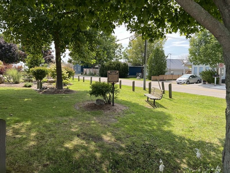
Photographed by Tim Boyd, August 23, 2024
2. Port Bruce Site of the Royal Salute Marker
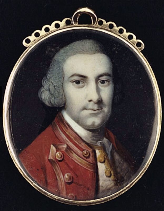
3. Sir William Johnson, ca 1760
Source: Library and Archives Canada
Credits. This page was last revised on May 27, 2026. It was originally submitted on August 26, 2024, by Tim Boyd of Hamilton, Ontario. This page has been viewed 154 times since then and 22 times this year. Photos: 1, 2, 3. submitted on August 26, 2024, by Tim Boyd of Hamilton, Ontario. • Andrew Ruppenstein was the editor who published this page.
