Near Dillard in Crawford County, Missouri — The American Midwest (Upper Plains)
Old Dillard Cemetery
Photographed by Duane and Tracy Marsteller, July 21, 2024
1. Old Dillard Cemetery Marker
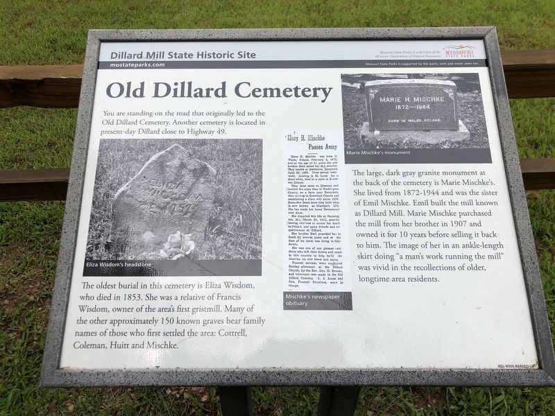
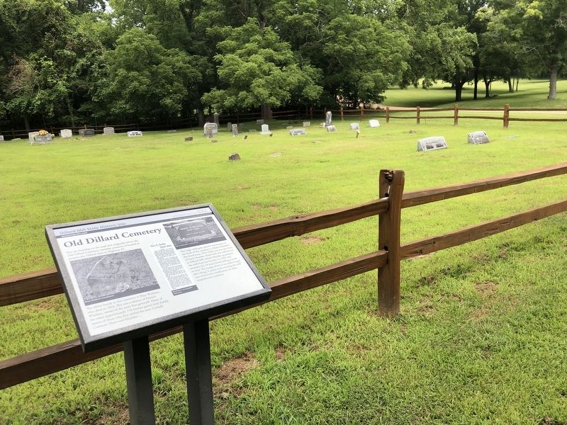
The oldest burial in this cemetery is Eliza Wisdom, who died in 1853. She was a relative of Francis Wisdom, owner of the area's first gristmill. Many of the other approximately 150 known graves bear family names of those who first settled the area: Cottrell, Coleman, Huitt and Mischke.
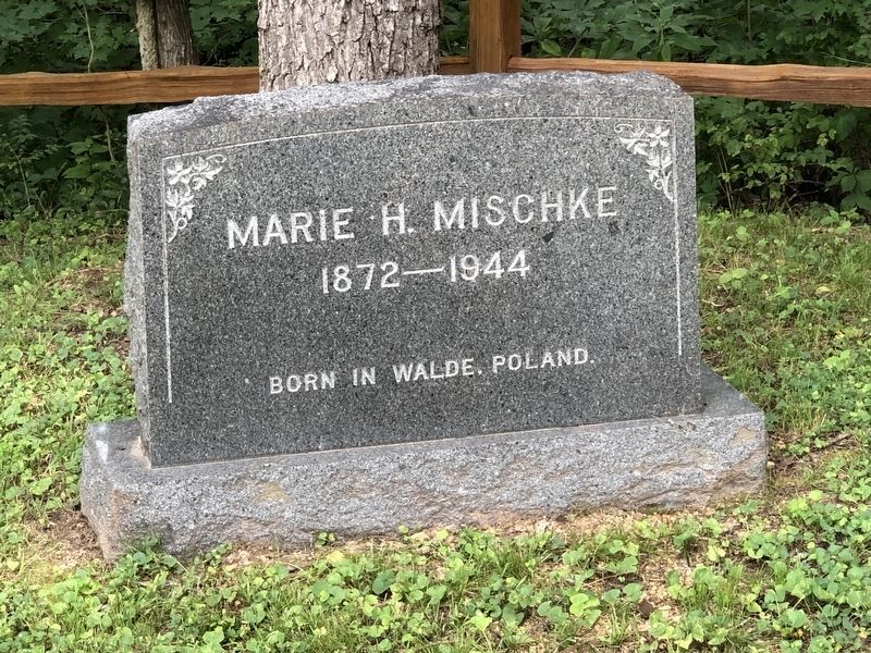
The large, dark gray granite monument at the back of the cemetery is Marie Mischke's. She lived from 1872-1944 and was the sister of Emil Mischke. Emil built the mill known as Dillard Mill. Marie Mischke purchased the mill from her brother in 1907 and owned it for 10 years before selling it back to him. The image of her in an ankle-length skirt doing “a man's work running the mill" was vivid in the recollections of older, longtime area residents.
[Captions (left to right)]
• Eliza Wisdom's headstone
• Mischke's newspaper obituary
• Marie Mischke's monument
Erected by Missouri State Parks.
Topics. This historical marker is listed in these topic lists:
this page online
Location. 37° 43.206′ N, 91° 12.292′ W. Marker is near Dillard, Missouri, in Crawford County. It can be reached from Dillard Mill Road (County Road 811) 1.6 miles south of State Highway 49, on the left when traveling south. Marker is in Dillard Mill State Historic Site. Touch for map. Marker is at or near this postal address: 142 Dillard Mill Rd, Davisville MO 65456, United States of America. Touch for directions.

Regionally, this marker is in South-Central Missouri. It is also in the American Ozarks, in the Lewis & Clark Corridor, and in the Corn Belt. Globally, it is in North America, the Western Hemisphere, the Western World, and the Anglosphere. Historically, it finds itself in what was once the territory of the Mississippian Culture, the Louisiana Purchase, and the Antebellum South.
Other nearby markers. At least 6 other markers are within 11 miles of this marker, measured as the crow flies: Turning Water into Power (a few steps from this marker); Fish Raceway (about 400 feet away, measured in a direct line);
Photographed by Duane and Tracy Marsteller, July 21, 2024
2. Old Dillard Cemetery Marker

Photographed by Duane and Tracy Marsteller, July 21, 2024
3. Eliza Wisdom's Gravestone
Photographed by Duane and Tracy Marsteller, July 21, 2024
4. Marie Mischke's monument
Credits. This page was last revised on August 27, 2024. It was originally submitted on August 27, 2024, by Duane and Tracy Marsteller of Murfreesboro, Tennessee. This page has been viewed 241 times since then and 47 times this year. Photos: 1, 2, 3, 4. submitted on August 27, 2024, by Duane and Tracy Marsteller of Murfreesboro, Tennessee.
