Near Wallacetown in Elgin County, Ontario — Central Canada (North America)
Tyrconnell
Photographed by Tim Boyd, August 23, 2024
1. Tyrconnell Marker
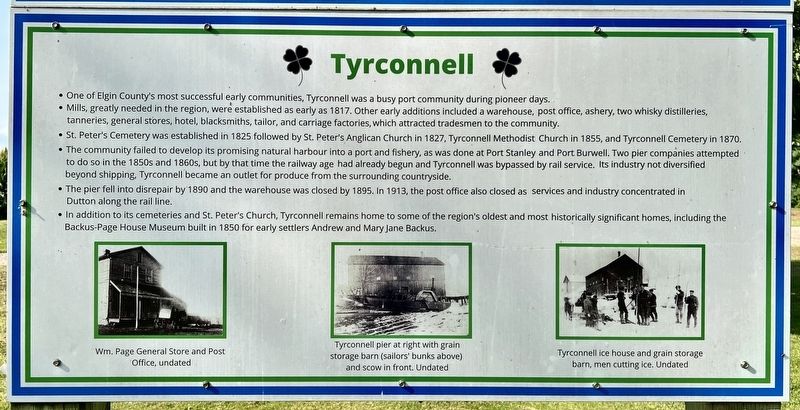
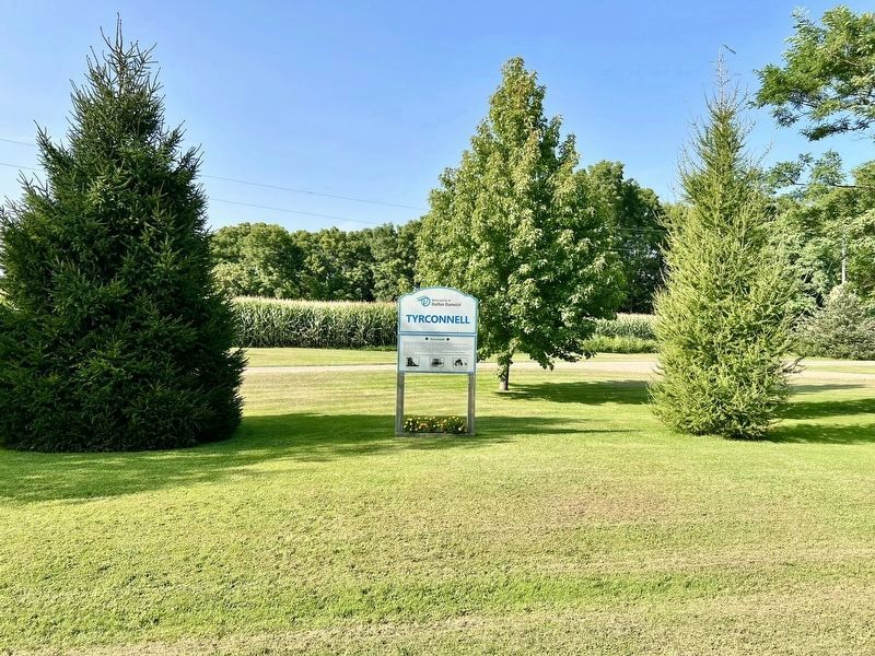
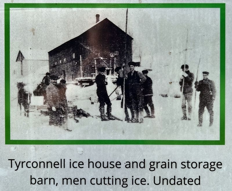
• One of Elgin County's most successful early communities, Tyrconnell was a busy port community during pioneer days.
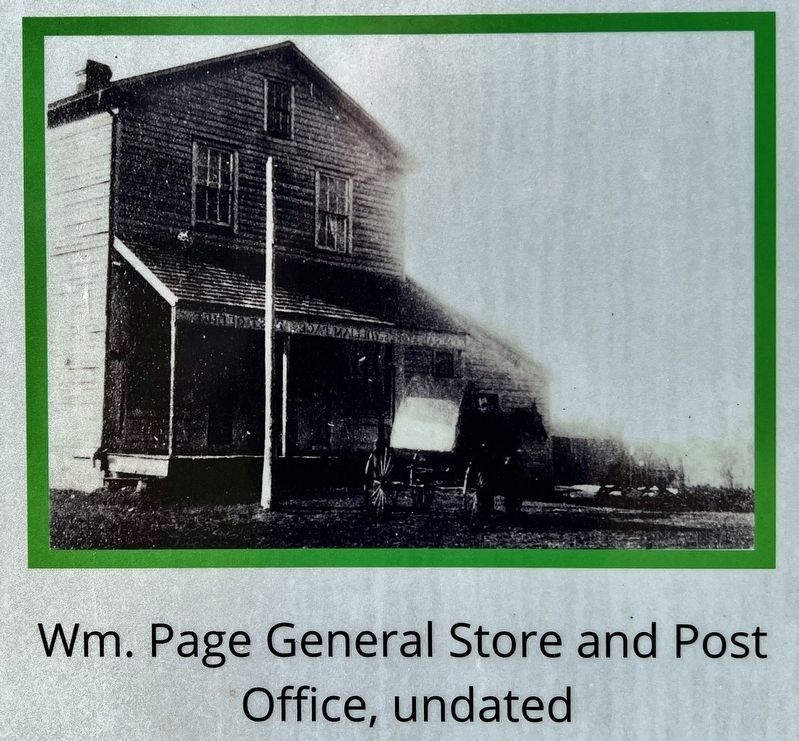
• Mills, greatly needed in the region, were established as early as 1817. Other early additions included a warehouse, post office, ashery, two whisky distilleries, tanneries, general stores, hotel, blacksmiths, tailor, and carriage factories, which attracted tradesmen to the community.
• St. Peter's Cemetery was established in 1825 followed by St. Peter's Anglican Church in 1827, Tyrconnell Methodist Church in 1855, and Tyrconnell Cemetery in 1870.
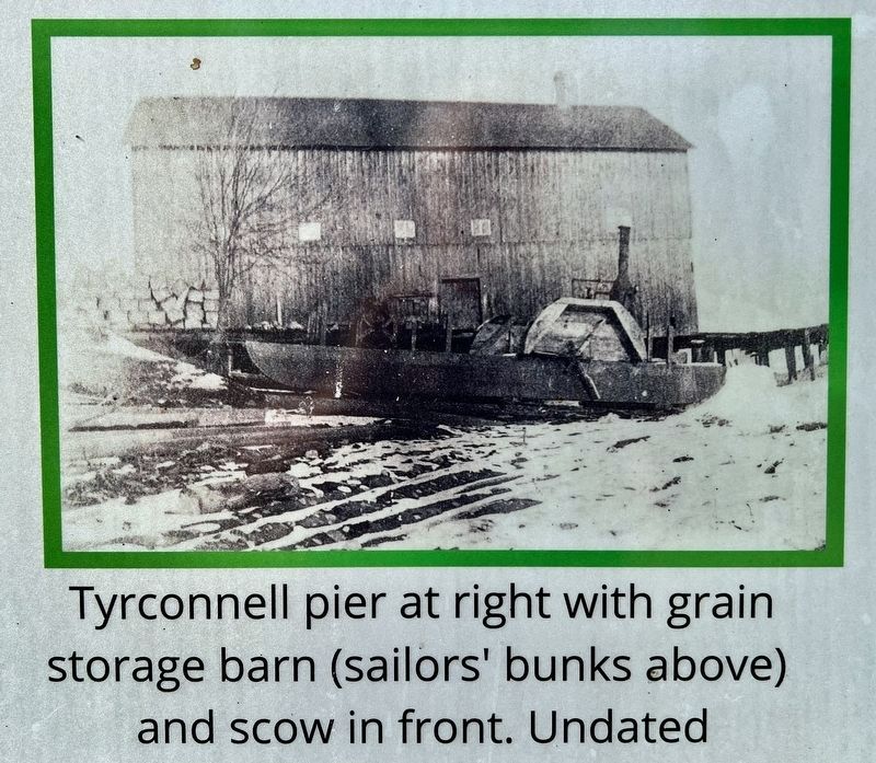
• The community failed to develop its promising natural harbour into a port and fishery, as was done at Port Stanley and Port Burwell. Two pier companies attempted to do so in the 1850s and 1860s, but by that time the railway age had already begun and Tyrconnell was bypassed by rail service. Its industry not diversified beyond shipping, Tyrconnell became an outlet for produce from the surrounding countryside.
• The pier fell into disrepair by 1890 and the warehouse was closed by 1895. In 1913, the post office also closed as services and industry concentrated
this page online
• In addition to its cemeteries and St. Peter's Church, Tyrconnell remains home to some of the region's oldest and most historically significant homes, including the Backus-Page House Museum built in 1850 for early settlers Andrew and Mary Jane Backus.
Topics. This historical marker is listed in these topic lists: Cemeteries & Burial Sites • Industry & Commerce • Settlements & Settlers • Waterways & Vessels. A significant historical year for this entry is 1817.
Location. 42° 36.153′ N, 81° 27.847′ W. Marker is near Wallacetown, Ontario, in Elgin County. It is on Lakeview Line 1.4 kilometers west of Currie Road (County Road 8), on the right when traveling west. Touch for map. Marker is in this post office area: Wallacetown ON N0L 2M0, Canada. Touch for directions.

Regionally, this marker is in the Southwest Ontario Area and in Southwestern Ontario. It is also in Central Canada. Globally, it is in North America, on the Great Lakes, in the Western Hemisphere, in the Western World, and in the Anglosphere. Historically, it finds itself in what was once a British colony, the Viceroyalty
2. Tyrconnell Marker
Other nearby markers. At least 8 other markers are within 11 kilometers of this marker, measured as the crow flies: Raids on the Talbot Settlement, 1814 (approx. 1.6 kilometers away); St. Peter’s Church 1827 (approx. 2 kilometers away); Ellis Wellwood Sifton, V.C. (approx. 2 kilometers away); John Kenneth Galbraith (approx. 8.4 kilometers away); Col. Thomas Talbot (approx. 9 kilometers away); The Talbot Settlement / La Colonie de Talbot (approx. 9 kilometers away); Brock’s Creek (approx. 10.6 kilometers away); Burwell’s Corners (approx. 11.2 kilometers away). Touch for a list and map of all markers in Wallacetown.
3. Tyrconnell marker photo detail
4. Tyrconnell marker detail
Photographed by Tim Boyd, August 23, 2024
5. Tyrconnell marker photo detail
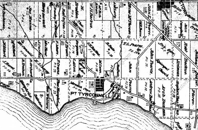
6. Port Tyrconnell, 1879
Credits. This page was last revised on August 29, 2024. It was originally submitted on August 29, 2024, by Tim Boyd of Hamilton, Ontario. This page has been viewed 869 times since then and 146 times this year. Photos: 1, 2, 3, 4, 5, 6. submitted on August 29, 2024, by Tim Boyd of Hamilton, Ontario. • Andrew Ruppenstein was the editor who published this page.
