Defiance in Defiance County, Ohio — The American Midwest (Great Lakes)
General Anthony Wayne
Edward P. Moran, 1923
Photographed by Craig Doda, August 30, 2024
1. General Anthony Wayne Marker
O beautiful for patriot dream Katherine Lee Bates - 1893
that sees beyond the years
thine alabaster cities gleam
undimmed by human tears
America! America!
God shed his grace on thee
and crown thy good
with brotherhood
from sea to shining sea!
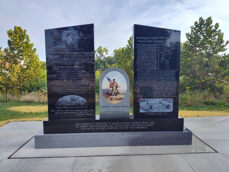
Major General Anthony Wayne
Born January 1, 1745 Died December 15, 1796
General Wayne was a trusted, reliable commander for General Washington's Continental troops during the American Revolutionary War. Washington praised Wayne for his "judgement and bravery." In 1779, Wayne received a gold medal from Congress for his success at Stony Point, New York.
Wayne's Service Record:
Invaded Quebec, Canada 1776
Suffered a leg wound, Battle of Three Rivers
Commanded Fort Ticonderoga 1776
Fought in the Battles of Brandywine, Germantown and Paoli
of the Philadelphia Campaign 1777
Valley Forge Encampment 1777 - 1778
Fought in the Battle of Monmouth Courthouse 1778
Fought in the Battle of Stony Point, suffered a scalp wound 1779
Assigned to General Lafayette and sent to Virginia 1781
Yorktown Campaign 1781
Served under General Greene in South Carolina and Georgia
Helpedclean up Tory activity and Indian attacks in Georgia 1782
Click or scan to see
this page online
Promoted to Major General and retired from the Army
after Washington's farewell address in 1783
Battle of Stony Point July 16, 1779
"Our officers and men behaved like men who are determined to be free."
Anthony Wayne
Washington's Indian Wars 1790-1795
Wayne's Ohio Campaign 1792-1795
After the failed attempts by Generals Josiah Harmar (1790) and Arthur St. Clair (1791) to subdue the Indians, President Washington appointed Anthony Wayne in 1792 to become Commander in Chief of America's first standing army. He formed "Wayne's Legion" over a two-year period beginning at Fort Fayette, then Legionville, near Pittsburgh, Pennsylvania. Wayne moved down the Ohio River to Fort Washington (Cincinnati) in 1793 and established his force at nearby Hobson's Choice. He soon established his new base camp at Fort Greene Ville and built Fort Recovery at the site of St. Clair's defeat. After Indians attacked Fort Recovery from June 30 to July 1, 1794, Wayne decided to move towards the Grand Glaize (Defiance) traversing through the Great Black Swamp and down the Auglaize River reaching

Photographed by Craig Doda, August 30, 2024
2. General Anthony Wayne Marker
Fort Defiance August

Photographed by Craig Doda, August 30, 2024
3. General Anthony Wayne Marker
August 20, 1794
Infantry engages Indian Line
Dragoons protect Wayne's flanks
Anthony Wayne
Treaty of Greene Ville
Wayne returned to Fort Defiance, reinforced it, and on September 14 traveled to Kekionga, site of Little Turtle's Miami Village and Harmar's defeat, 1790. He built Fort Wayne at the confluence of the St. Joseph and St. Marys rivers projecting American power further into Indian territory. He then traveled to Fort Greene Ville in October and prepared for the negotiation of the Treaty of Greene Ville with all the tribes involved in the Ohio Indian Campaign. Initially, there was not much action. Finally, on February 7, 1795, Bluejacket arrived and met with Wayne. Bluejacket queried if the letter sent out to the Indians was true. Wayne responded in the affirmative. Bluejacket accepted Wayne's word and presented a woman and three men who had been captured to the Americans. The next day, a Delaware Chief representing Buckongehelas

Photographed by Craig Doda, August 30, 2024
4. General Anthony Wayne Marker
By June 15, chiefs of the various tribes started to arrive as promised. By July 13, most of the important chiefs had arrived; Buckongehelas of the Delaware, Little Turtle of the Miami and Tarhe "The Crane" of the Wyandot. Bluejacket finally arrived on July 28, traveling from Detroit. The formal discussions began and were completed with the tribes signing the treaty on August 3, 1795, except Little Turtle. Finally, on August 12, 1795, Little Turtle, the last of the holdout chiefs, signed the agreement and the Ohio Indian Wars were over. The Indians ceded most of Ohio and large sections of Indiana, Illinois and Michigan. The Old Northwest Territory was opened for settlement.
Signing of Treaty August 3, 1795
This memorial is dedicated to Major General Anthony Wayne and his troops, who established the United States and Wayne's Legion, who opened the Ohio Territory
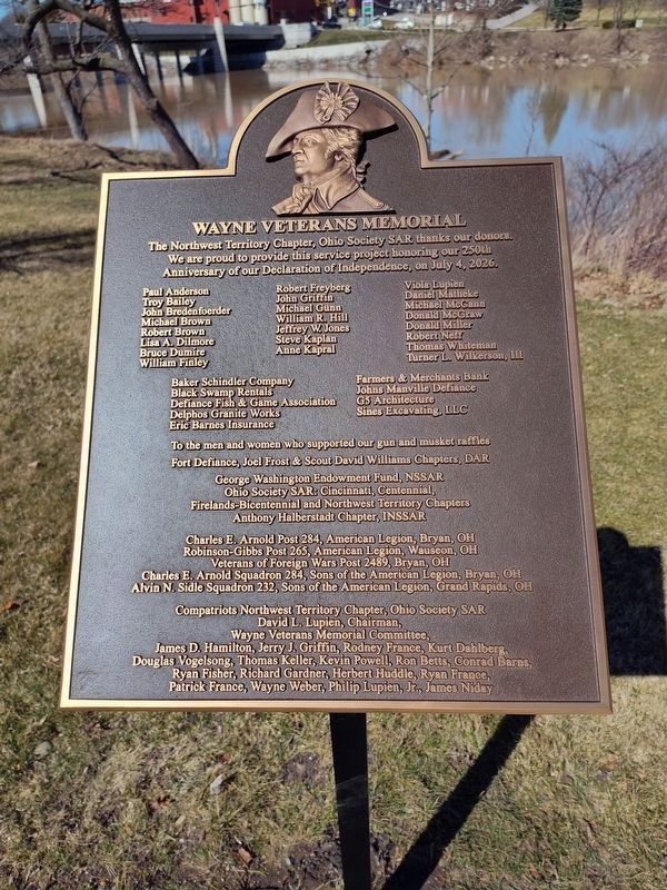
Photographed by Craig Doda, March 17, 2025
5. General Anthony Wayne Marker
Erected 2024 by Sons of the American Revolution; Ohio Society Sons of the American Revolution; George Washington Endowment Fund; The City of Defiance.
Topics and series. This historical marker is listed in this topic list: Wars, US Indian. In addition, it is included in the Sons of the American Revolution (SAR) series list. A significant historical date for this entry is January 1, 1745.
Location. 41° 17.296′ N, 84° 21.588′ W. Marker is in Defiance, Ohio, in Defiance County. It is at the intersection of Fort Street and Wayne Avenue, on the right when traveling west on Fort Street. Touch for map. Marker is at or near this postal address: 420 Fort St, Defiance OH 43512, United States of America. Touch for directions.

Regionally, this marker is in the Black Swamp and in the Till Plains. It is also in the American Midwest and in the Corn Belt. Globally, it is in North America, the Western Hemisphere, the Western World, and the Anglosphere. Historically, it finds itself in what was once the Haudenosaunee (Iroquois) Confederacy, the territory of the Mississippian Culture, and the Northwest Territory.
Other nearby markers. At
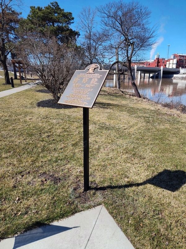
Photographed by Craig Doda, March 17, 2025
6. General Anthony Wayne Marker
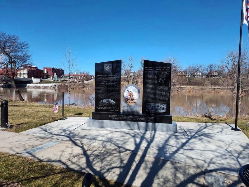
Photographed by Craig Doda, March 17, 2025
7. General Anthony Wayne Marker
Credits. This page was last revised on July 17, 2025. It was originally submitted on August 30, 2024, by Craig Doda of Napoleon, Ohio. This page has been viewed 631 times since then and 117 times this year. Photos: 1, 2, 3, 4. submitted on August 30, 2024, by Craig Doda of Napoleon, Ohio. 5, 6, 7. submitted on March 17, 2025, by Craig Doda of Napoleon, Ohio. • Devry Becker Jones was the editor who published this page.
