Tanacross in Southeast Fairbanks Census Area, Alaska — Northwest (North America)
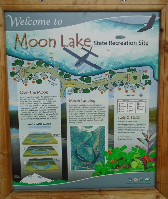
Welcome to Moon Lake State Recreation Site
Photographed by William Fischer, Jr., August 16, 2024
1. Welcome to Moon Lake State Recreation Site Marker
Over the Moon
A bird's-eye view reveals this peaceful oxbow lake was once part of the mighty Tanana River. Fed by a healthy supply of glacial melt from the Alaska Range, the Tanana River's heavy silt load is ideal for the formation of a meandering river. Over time, a combination of sediment and erosion can cut a meandering channel off from the main channel, forming an oxbow lake. This isolation from glacial melt leads to higher water temperatures, perfect for swimming, boating, or even water skiing!
Oxbow Lake Formation [illustration]
Moon Landing
The English translation for the Athabascan word tenene is "trail river" as this river creates an ideal transportation corridor for traveling from one location to the next. The bush plane is the latest addition to this corridor. Bringing a truly Alaskan flair to the area, the occasional floatplane can be seen landing on Moon Lake as hunters make their way into Tanana Valley hunting grounds.
[Map and map legend]
Stats & Facts
Access: Mile 1[3]32, Alaska Highway
Moon Lake State Recreation Site is located 15 miles northwest of Tok. Facilities include 13 campsites, drinking
this page online
[Bottom right plant photos, left to right, read]
• Dwarf Dogwood (Cornus canadensis)
• Pumpkin Berry (Geocaulon lividum)
Erected by Alaska Division of Parks and Outdoor Recreation, and Others.
Topics. This historical marker is listed in these topic lists: Parks & Recreational Areas • Waterways & Vessels.
Location. 63° 22.55′ N, 143° 32.656′ W. Marker is in Tanacross in Southeast Fairbanks Census Area, Alaska. It can be reached from Moon Lake State Recreation Site Road. Marker is at the kiosk in Moon Lake State Recreation Site. Touch for map. Marker is at or near this postal address: 1332 Alaska Highway (State Hwy 2), Tanacross AK 99776, United States of America. Touch for directions.

Regionally, this marker is in the Athabascan Region and in Interior Alaska. It is also on the American Pacific Coast. Globally, it is in North America, on the Pacific Rim, in the Western Hemisphere, in the Western
Photographed by William Fischer, Jr., August 16, 2024
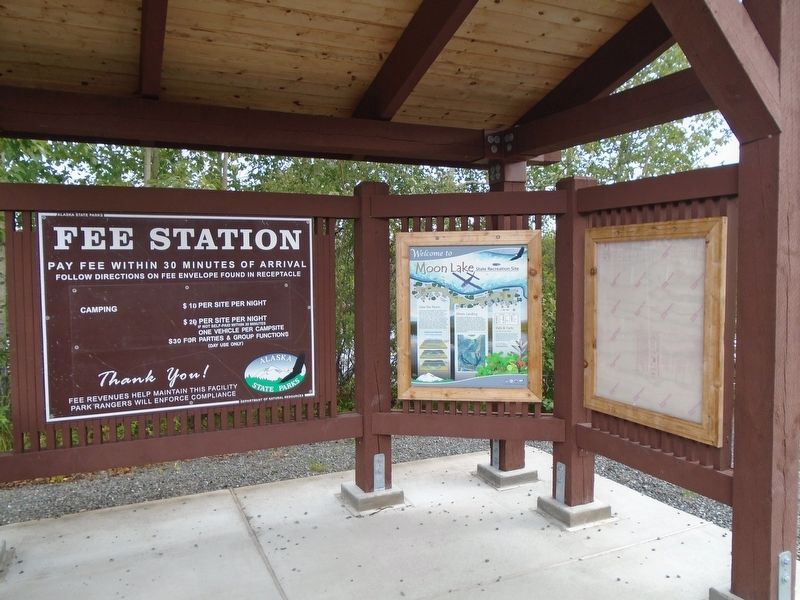
2. Welcome to Moon Lake State Recreation Site Marker
Photographed by William Fischer, Jr., August 16, 2024
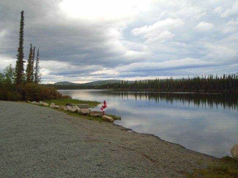
3. Moon Lake View
Photographed by William Fischer, Jr., August 16, 2024
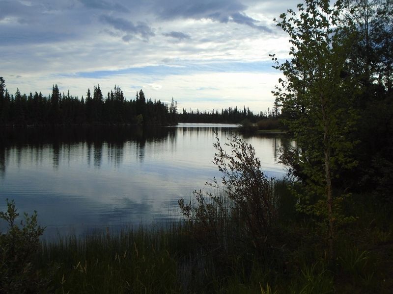
4. Moon Lake View
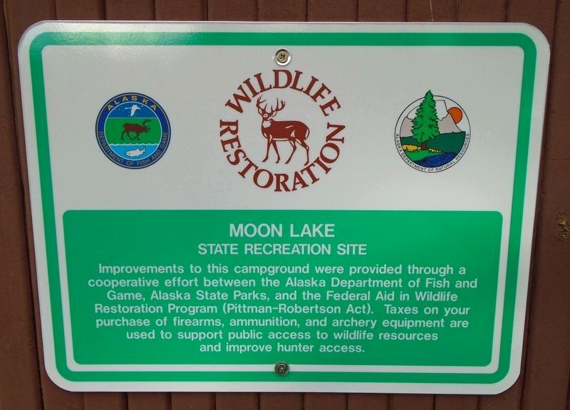
Photographed by William Fischer, Jr., August 16, 2024
5. Moon Lake State Recreation Site Wildlife Restoration Sign
Credits. This page was last revised on January 24, 2026. It was originally submitted on August 31, 2024, by William Fischer, Jr. of Reynoldsburg, Ohio. This page has been viewed 160 times since then and 12 times this year. Photos: 1, 2, 3, 4, 5. submitted on August 31, 2024, by William Fischer, Jr. of Reynoldsburg, Ohio.
