Delta Junction in Southeast Fairbanks Census Area, Alaska — Northwest (North America)
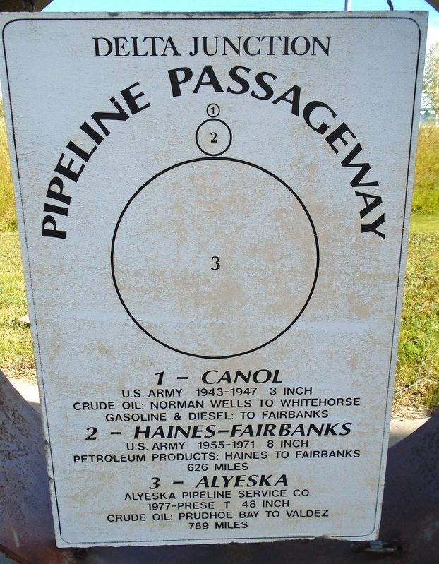
Pipeline Passageway
Delta Junction
Photographed by William Fischer, Jr., August 16, 2024
1. Pipeline Passageway Marker
U.S. Army 1943-1947 3 inch
Crude Oil: Norman Wells to Whitehorse
Gasoline & Diesel: To Fairbanks
2 - Haines-Fairbanks
U.S. Army 1955-1971 8 inch
Petroleum Products: Haines to Fairbanks
626 miles
3 - Alyeska
Alyeska Pipeline Service Co.
1977-Prese[n]t 48 inch
Crude Oil: Prudhoe Bay to Valdez
789 miles
Topics. This historical marker is listed in these topic lists: Environment • Industry & Commerce • War, Cold • War, World II. A significant historical year for this entry is 1943.
Location. 64° 2.224′ N, 145° 43.892′ W. Marker is in Delta Junction in Southeast Fairbanks Census Area, Alaska. It is at the intersection of Richardson Highway (State Highway 4 at milepost 266) and the Alaska Highway (State Highway 2), on the right when traveling north on Richardson Highway. Marker is on the Delta Junction Visitor Center grounds. Touch for map. Marker is at or near this postal address: 2885 Alaska Highway, Delta Junction AK 99737, United States of America. Touch for directions.

Regionally, this marker is in the Athabascan Region and in Interior Alaska. It is also on the American Pacific Coast.
this page online
Other nearby markers. At least 8 other markers are within walking distance of this marker: Trans Alaska Pipeline "Pig" (here, next to this marker); Delta Junction, Alaska (a few steps from this marker); Alaska Proudly Honors Purple Heart Recipients (a few steps from this marker); Agricultural Development in Delta (within shouting distance of this marker); "Two in the Far North" (about 500 feet away, measured in a direct line); Construction of the Sullivan Roadhouse (about 500 feet away); Gardening at the Sullivan Roadhouse (about 500 feet away); Historic Location of the Sullivan Roadhouse (about 600 feet away). Touch for a list and map of all markers in Delta Junction.
Also see . . .
1. Canol Pipeline Photos. (Submitted on September 1, 2024, by William Fischer, Jr. of Reynoldsburg, Ohio.)
2. Haines-Fairbanks Pipeline. (Submitted on September 1, 2024, by William Fischer, Jr. of Reynoldsburg, Ohio.)
Photographed by William Fischer, Jr., August 16, 2024
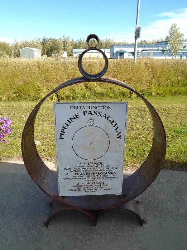
2. Pipeline Passageway Pipes and Marker
Photographed by William Fischer, Jr., August 16, 2024
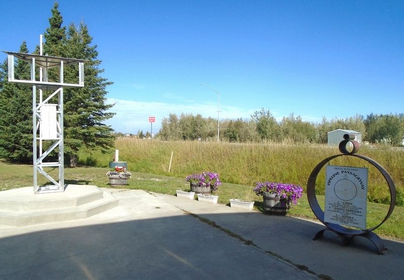
3. Pipeline Passageway Pipes and Marker
Credits. This page was last revised on September 1, 2024. It was originally submitted on September 1, 2024, by William Fischer, Jr. of Reynoldsburg, Ohio. This page has been viewed 159 times since then and 19 times this year. Photos: 1, 2, 3. submitted on September 1, 2024, by William Fischer, Jr. of Reynoldsburg, Ohio.
