Pre-Emption in Geneva in Ontario County, New York — The American Northeast (Mid-Atlantic)
Kan-a-de-sa-ga
Burial mound of Seneca Indians
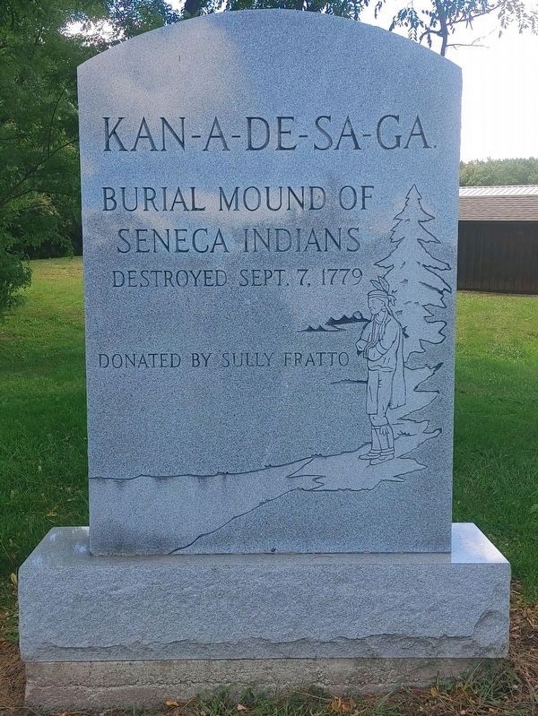
Photographed by James Turcotte, September 2, 2024
1. Kan-a-de-sa-ga Marker
Erected by Sully Fratto.
Topics. This historical marker is listed in these topic lists: Cemeteries & Burial Sites • Indigenous Peoples and Communities. A significant historical date for this entry is September 7, 1779.
Location. 42° 52.62′ N, 77° 0.727′ W. Marker is in Geneva, New York, in Ontario County. It is in Pre-Emption. It is at the intersection of Castle Road (County Road 4) and Pre Emption Road (County Road 6), on the right when traveling east on Castle Road. Touch for map. Marker is at or near this postal address: 803 Castle Road, Geneva NY 14456, United States of America. Touch for directions.

Regionally, this marker is in Upstate New York, specifically in Western New York, in the Finger Lakes, and in the Rochester Metropolitan Area. It is also in the American Northeast and in the Mid-Atlantic. Globally, it is in North America, the Western Hemisphere, the Western World, and the Anglosphere. Historically, it finds itself in what was once the Haudenosaunee (Iroquois) Confederacy, New Netherland, and one of the original Thirteen Colonies.
Other nearby markers. At least 8 other
this page online
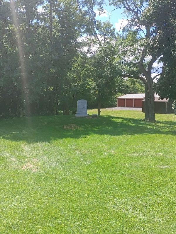
Photographed by James Turcotte, September 2, 2024
2. Kan-a-de-sa-ga Marker
Credits. This page was last revised on September 4, 2024. It was originally submitted on September 2, 2024, by James Turcotte of Phelps, New York. This page has been viewed 539 times since then and 88 times this year. Photos: 1, 2. submitted on September 2, 2024, by James Turcotte of Phelps, New York. • Devry Becker Jones was the editor who published this page.
